Facebook: Wild in Didcot TOP 50 TREE INFO PROTECT INSPIRE Facebook: Wild in Didcot

Didcot's oaks and other notable trees

Didcot's oaks
 and other notable trees

 
Mature trees add value to the modern streetscape

GREAT WESTERN PARK SOUTH

Great Western Park south of Wantage Road and Didcot Road

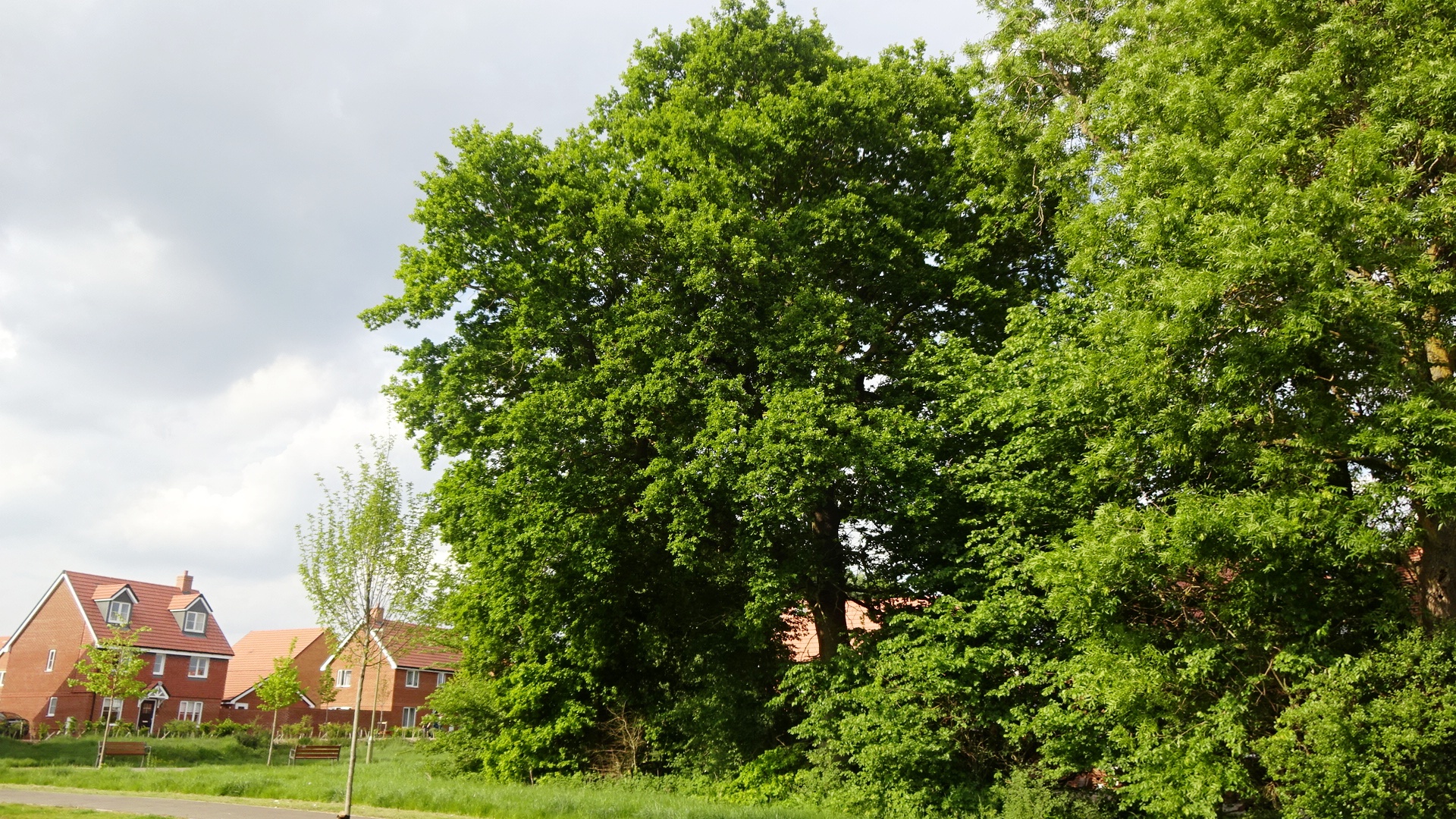
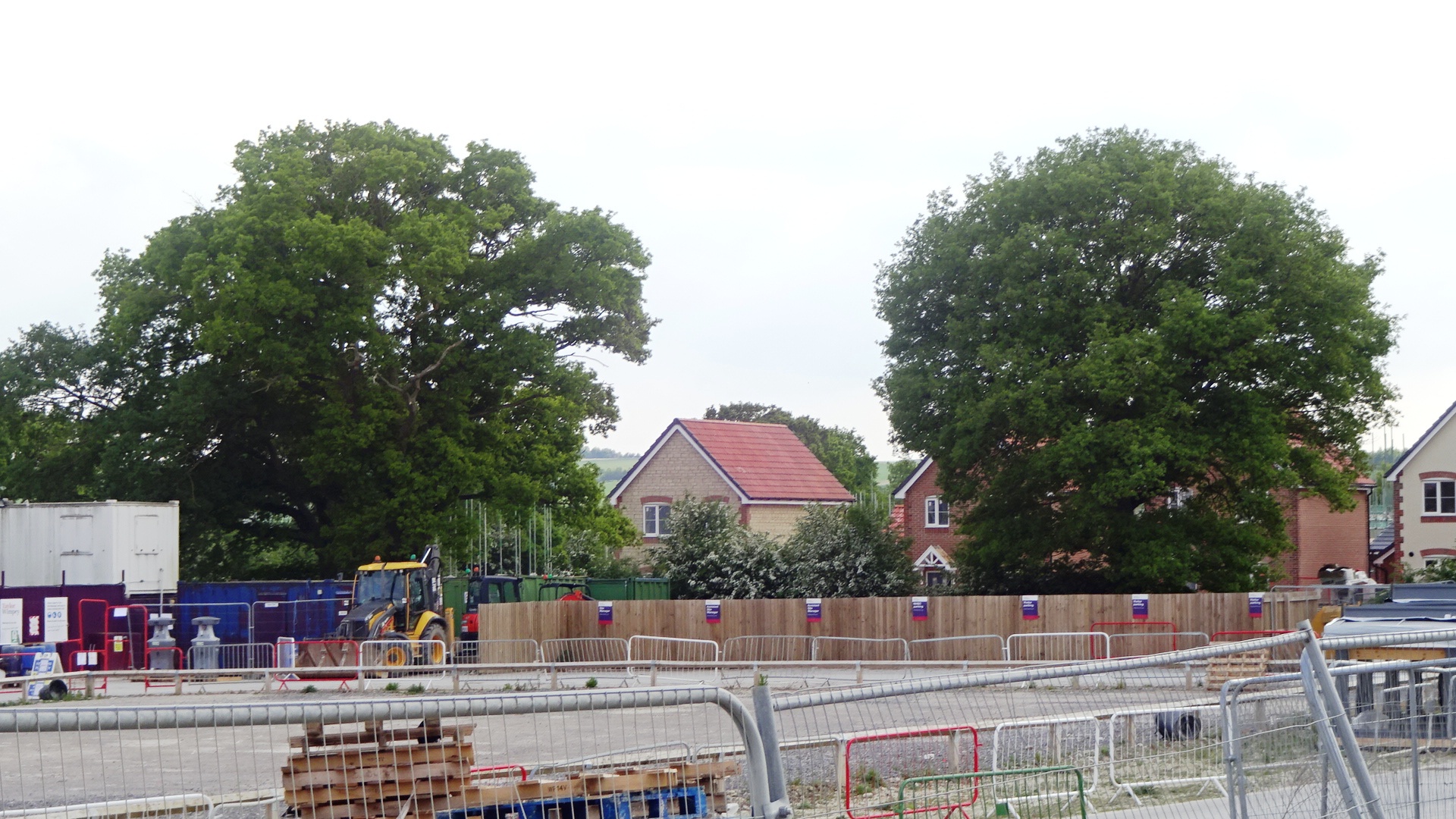
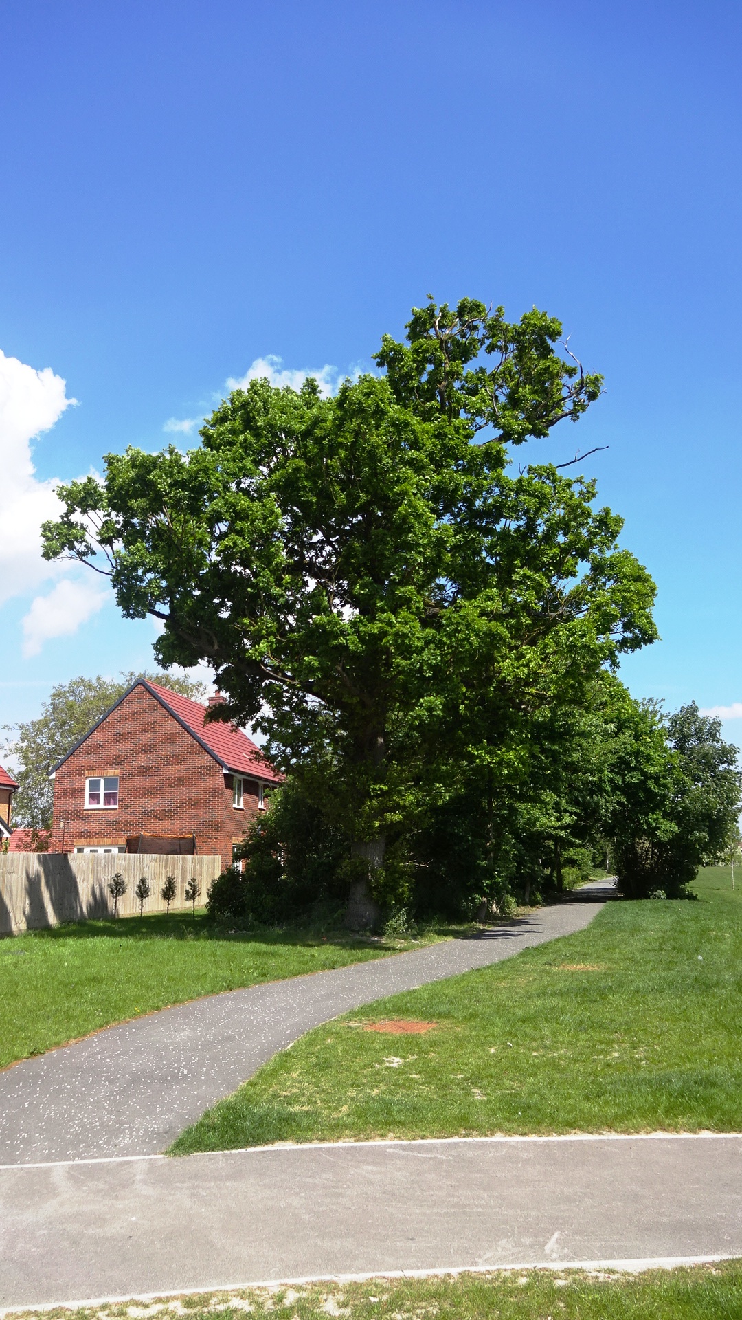
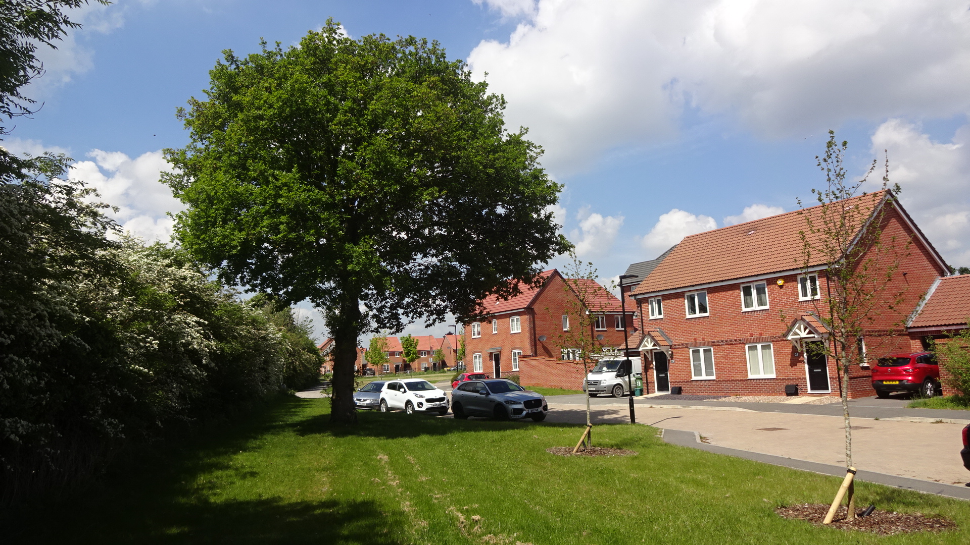
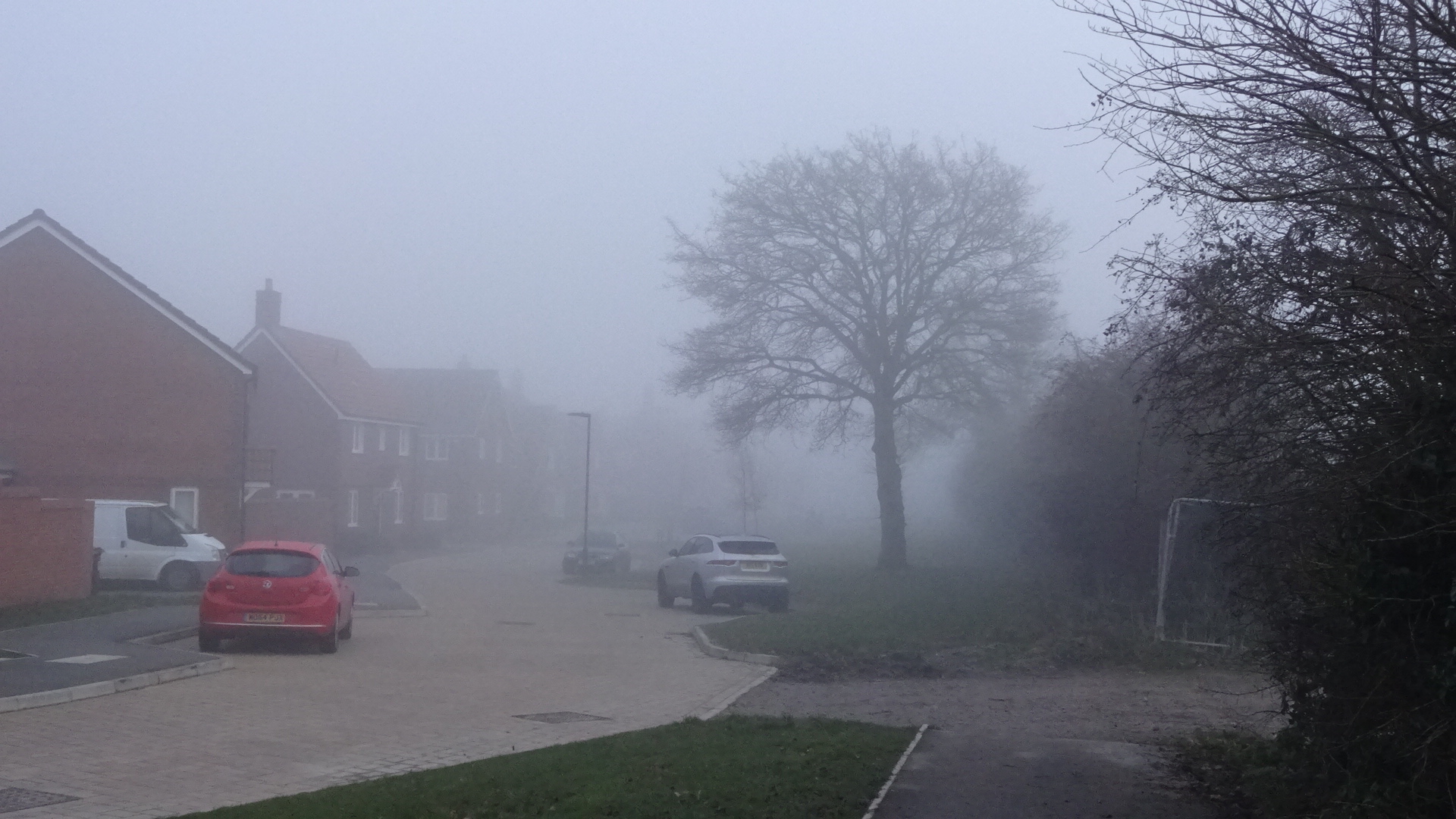
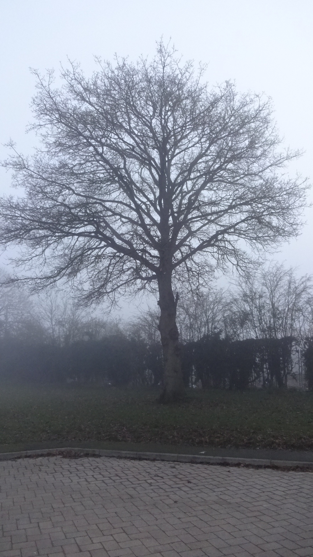
  WEST AND SOUTHWEST  The southern section of Great Western Park south of Didcot Road (B4493) contains many mature oaks. Most are in a long row down Moreland Road and Sorrel Crescent, defining the west and southwest parts of the estate, with sight of fields beyond. In 2021, parts of this area are still under construction – this page will be updated when the site is opened and construction fencing removed. 

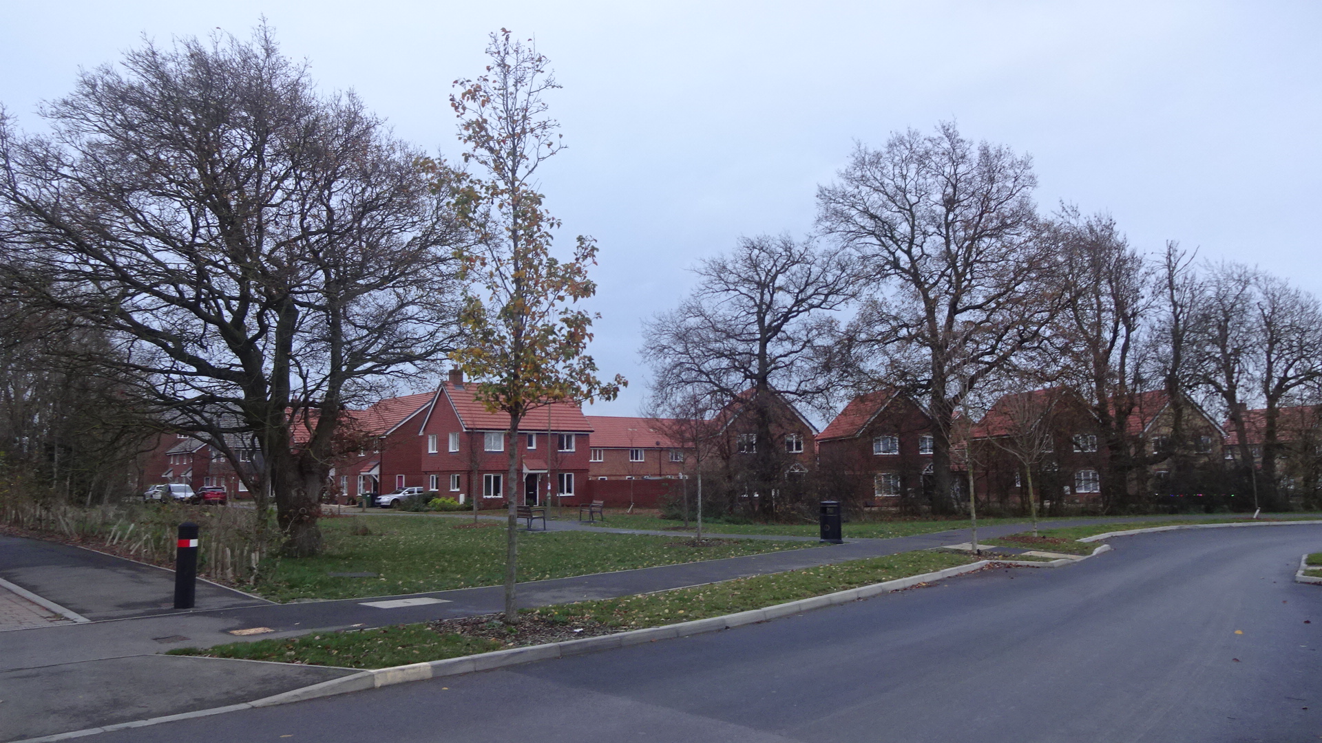
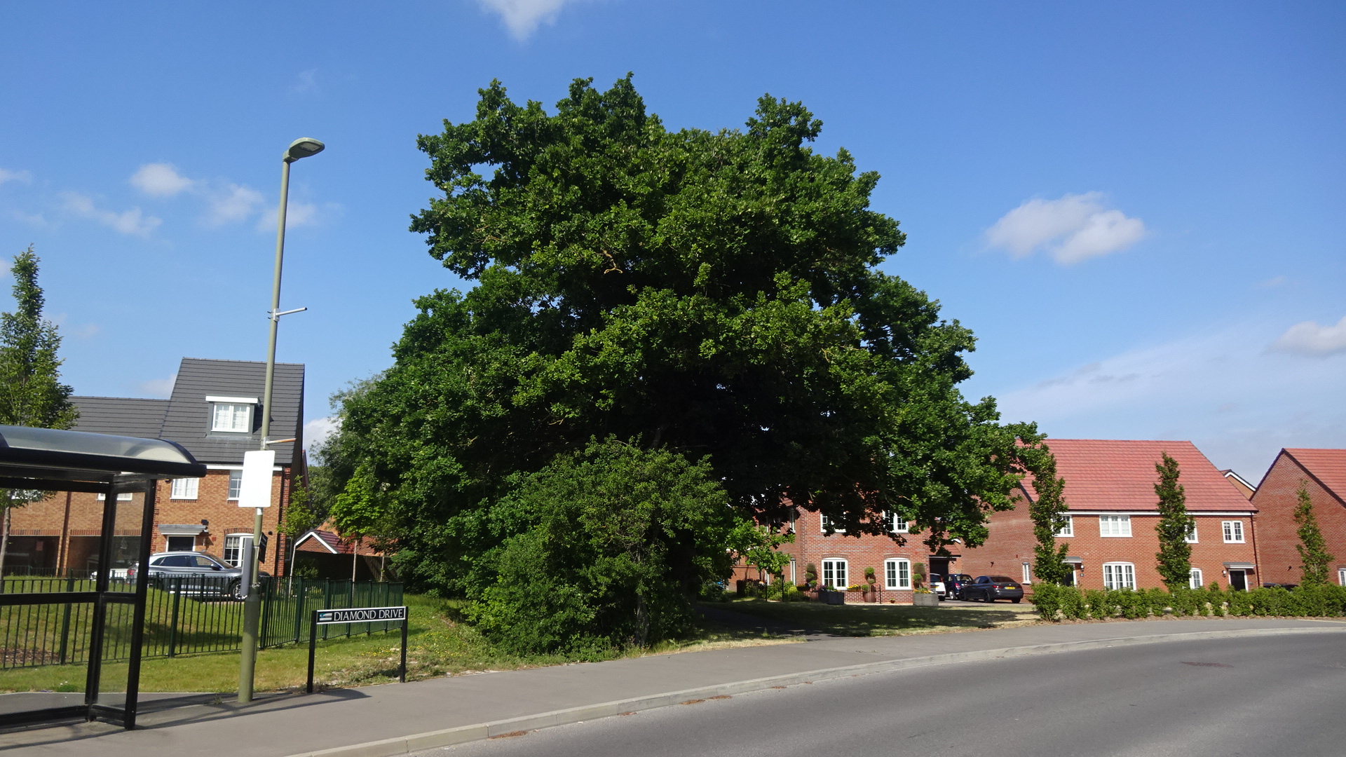
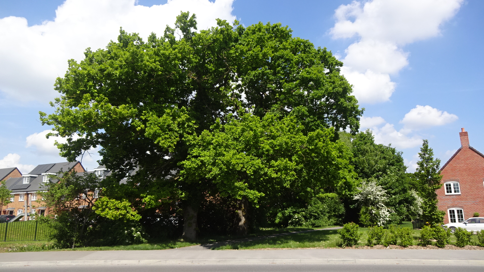
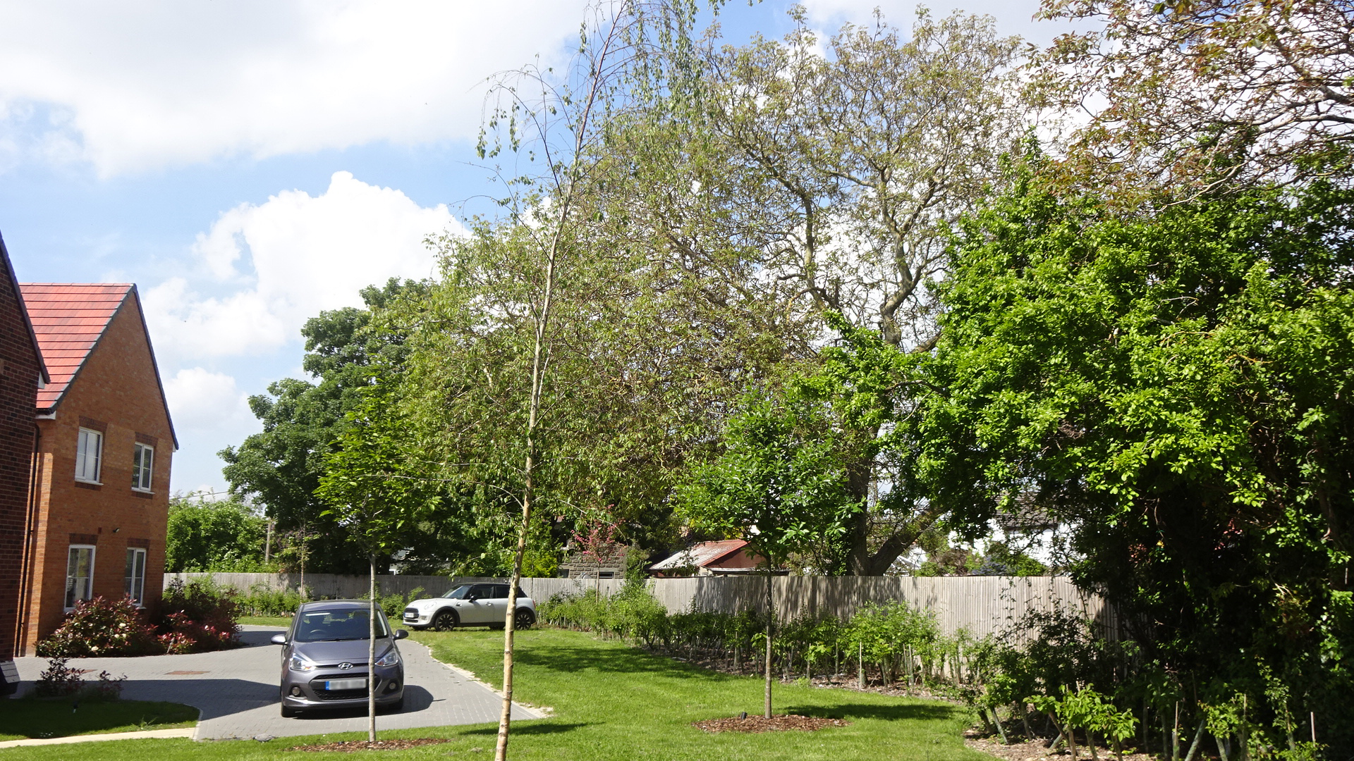
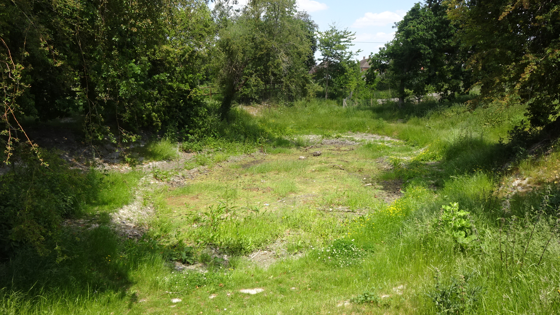
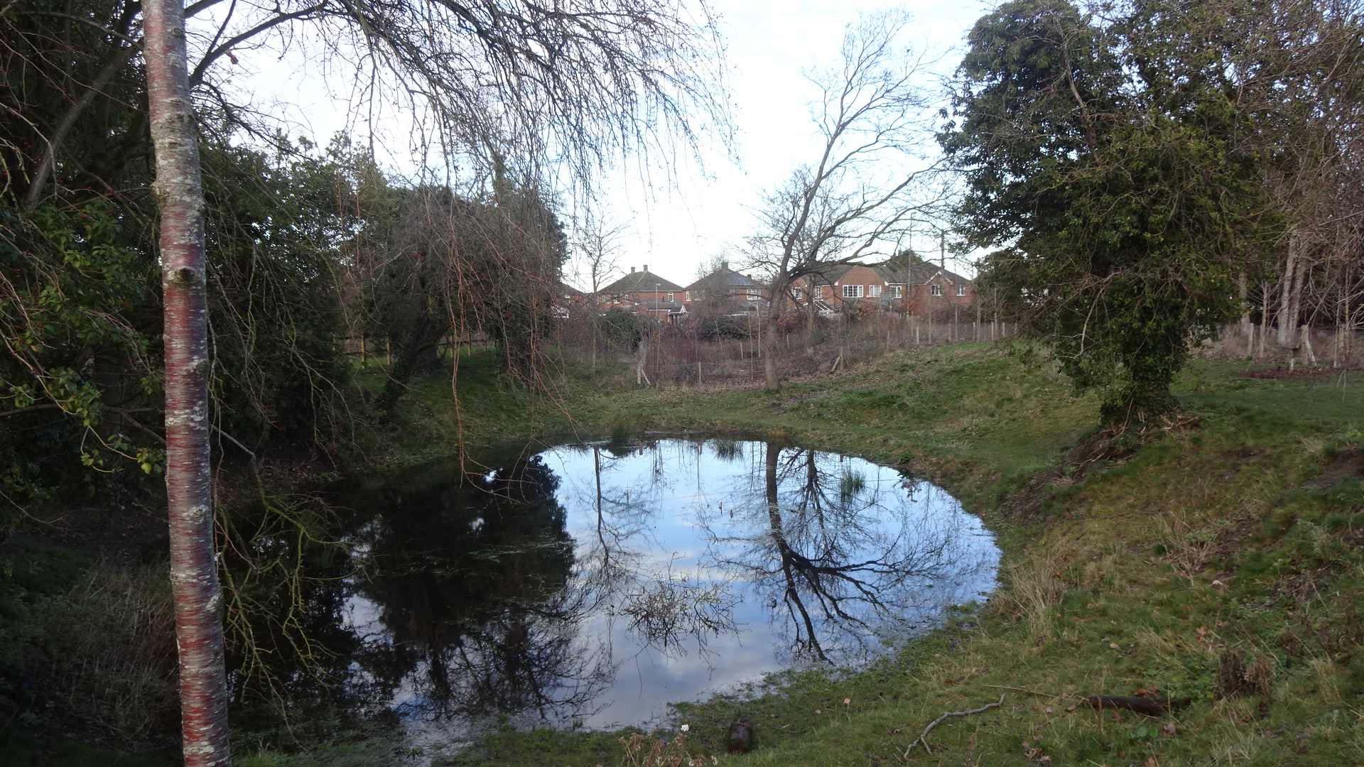
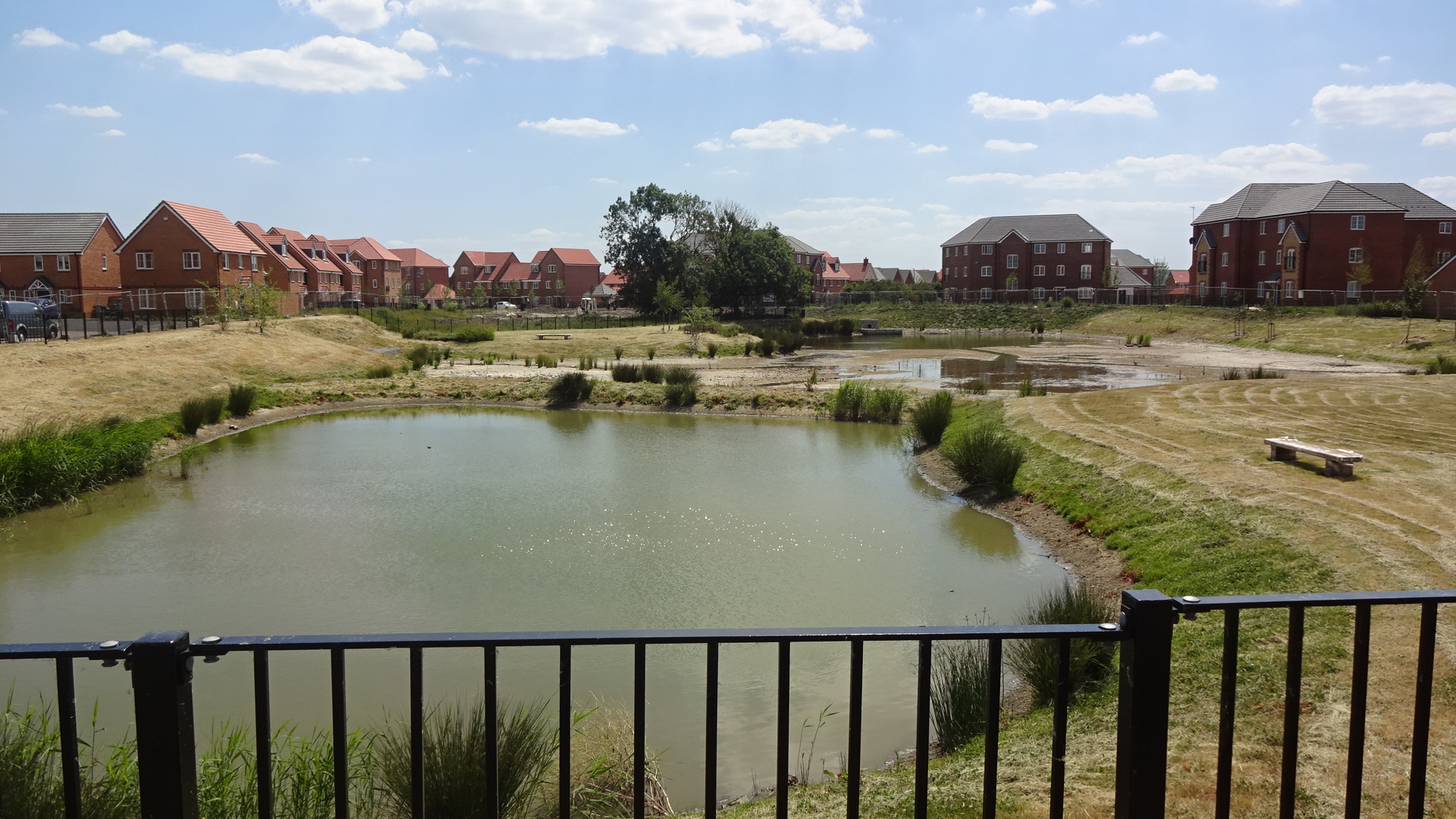
  CENTRAL NORTH  Dotted around the centre of GWP south are a number of mature trees worth seeking out. North of Aureus School off Diamond Drive is an eastbound footpath that runs north of Wintergreen Close – this path features a number of older oaks and younger walnuts. As the vista opens up at a large recreation field marked on some maps as Cold Sticks Field, the footpath leads past the long-established Pill Pond, whose water level is quite ephemeral. There's some new tree planting east of the Pill Pond and north of the path. Another way to reach the Pill Pond is from Sundew Close off Reed Street, and then walk north across Cold Sticks Field. 

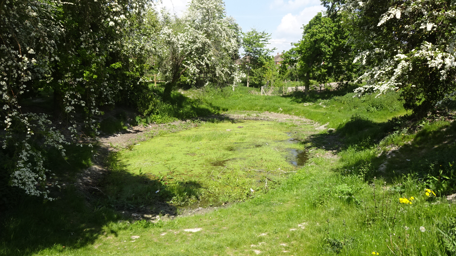
  CENTRAL SOUTH  South of the original Down Farm (private), near the double lakes, there are a few single trees and much new tree planting which will make the area feel more natural in years to come. North of Down Farm, a new orchard recreational area is being constructed. 

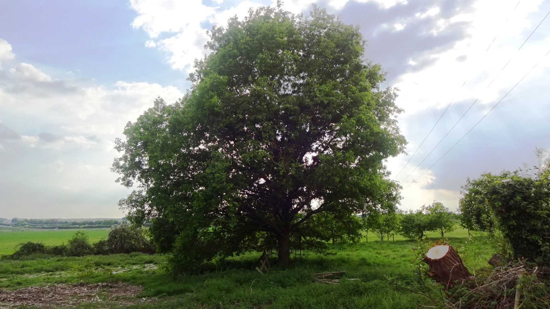
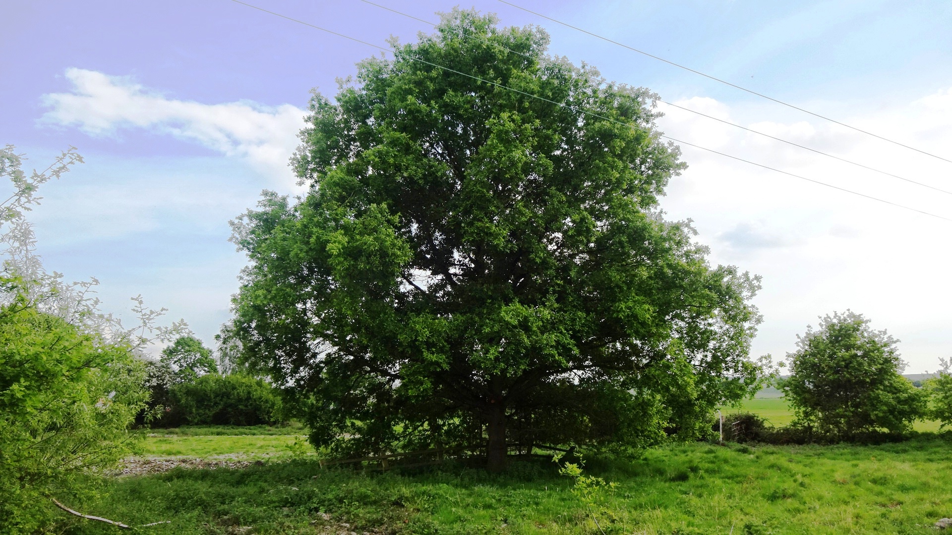
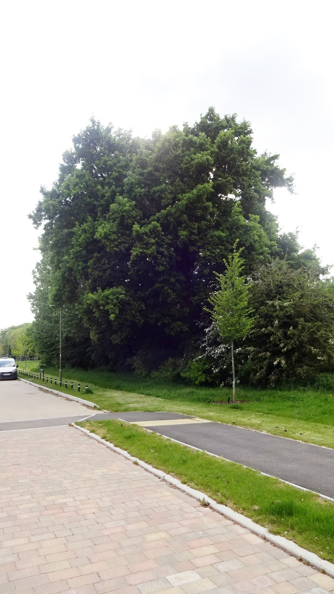
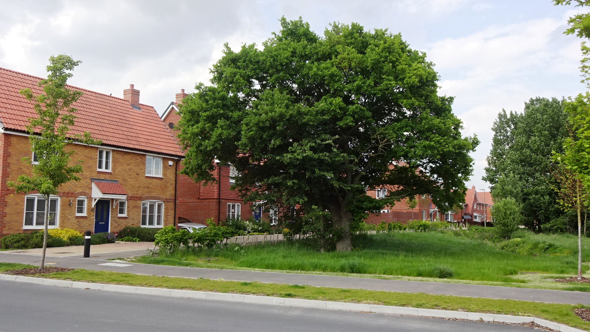
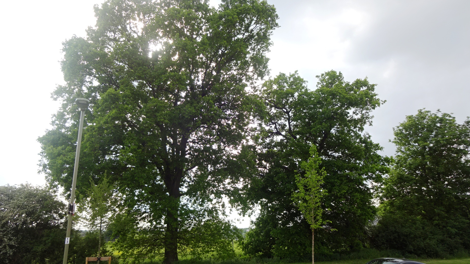
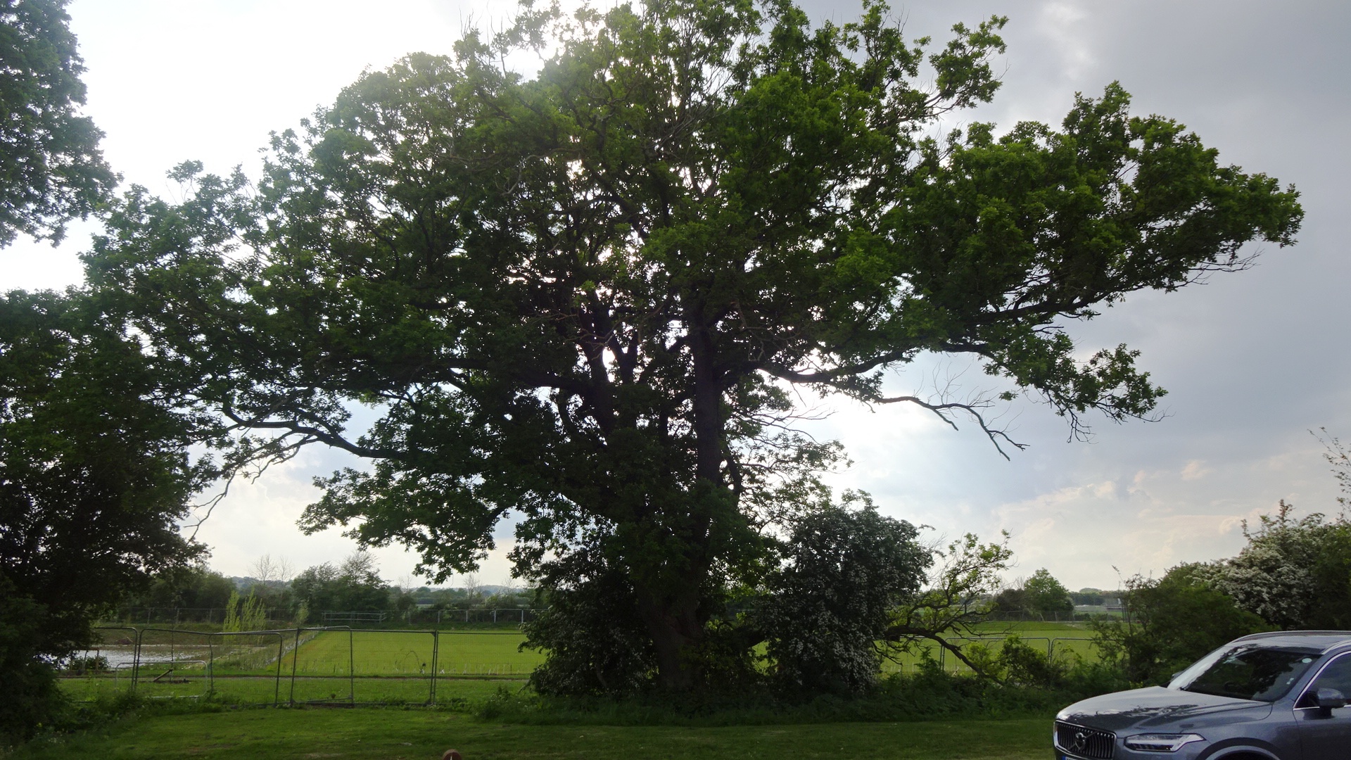
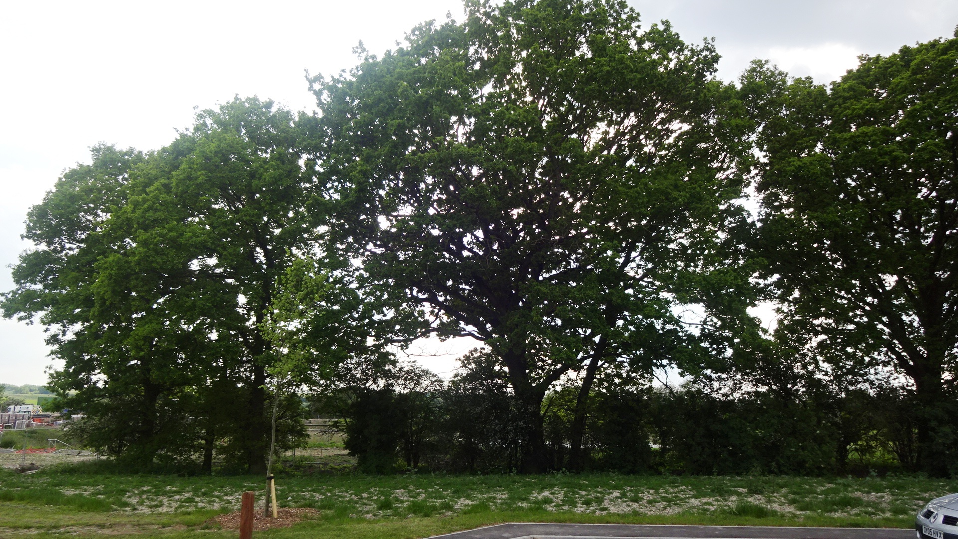
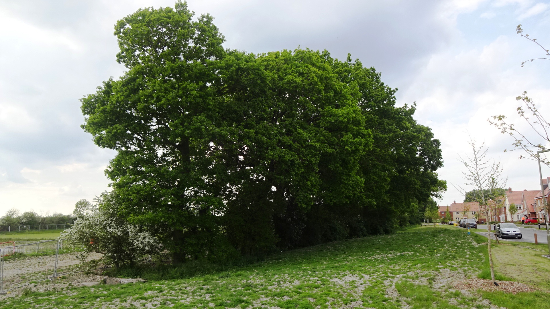
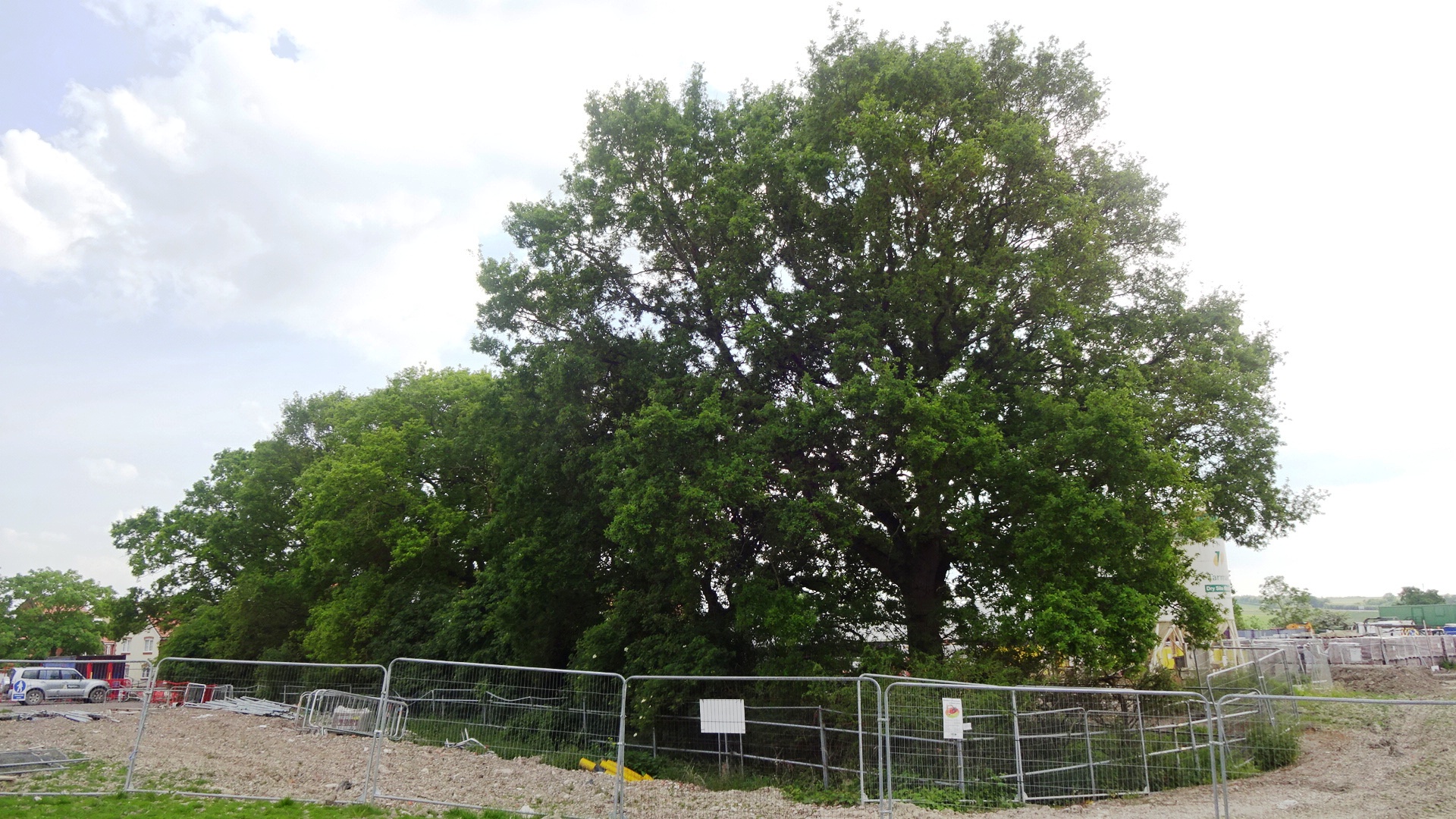
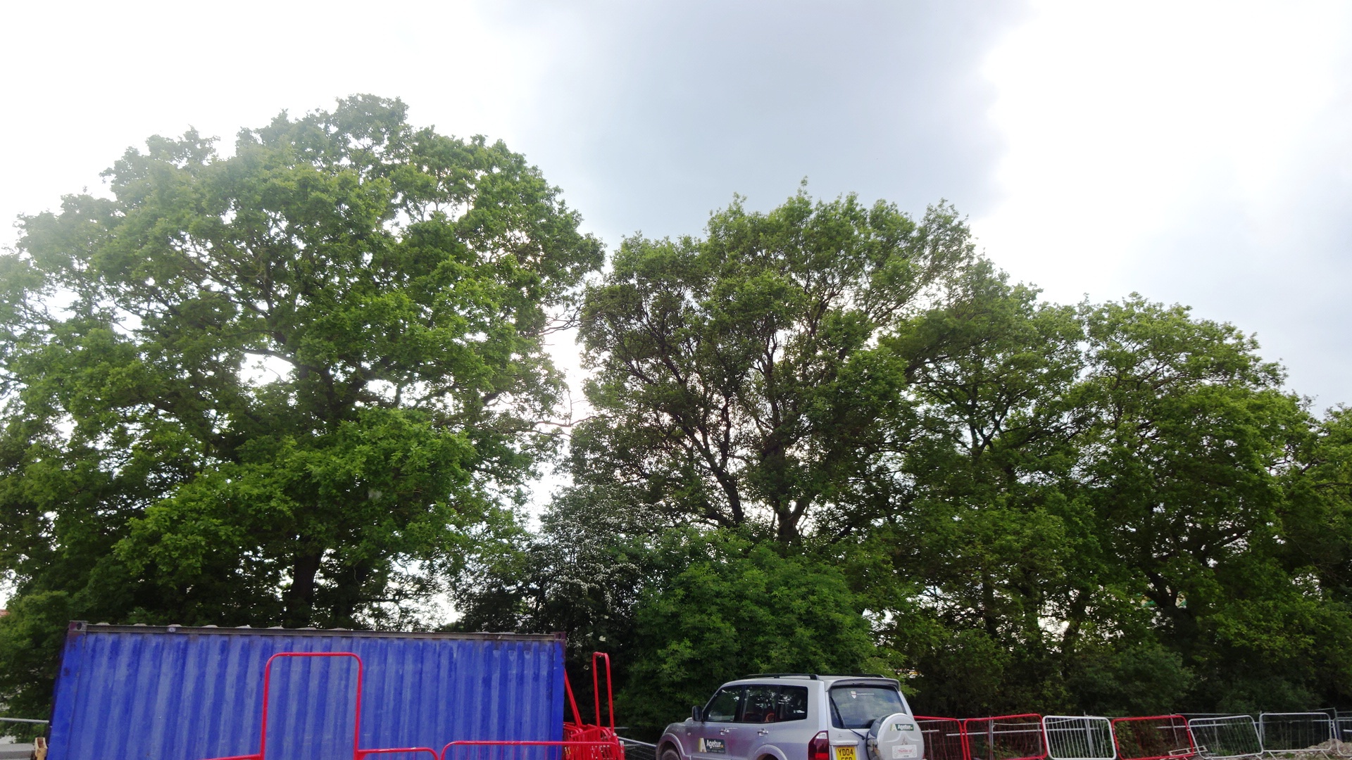
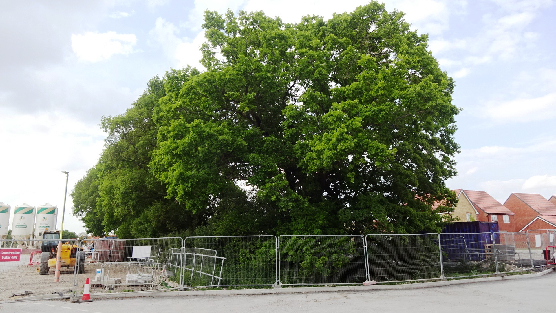
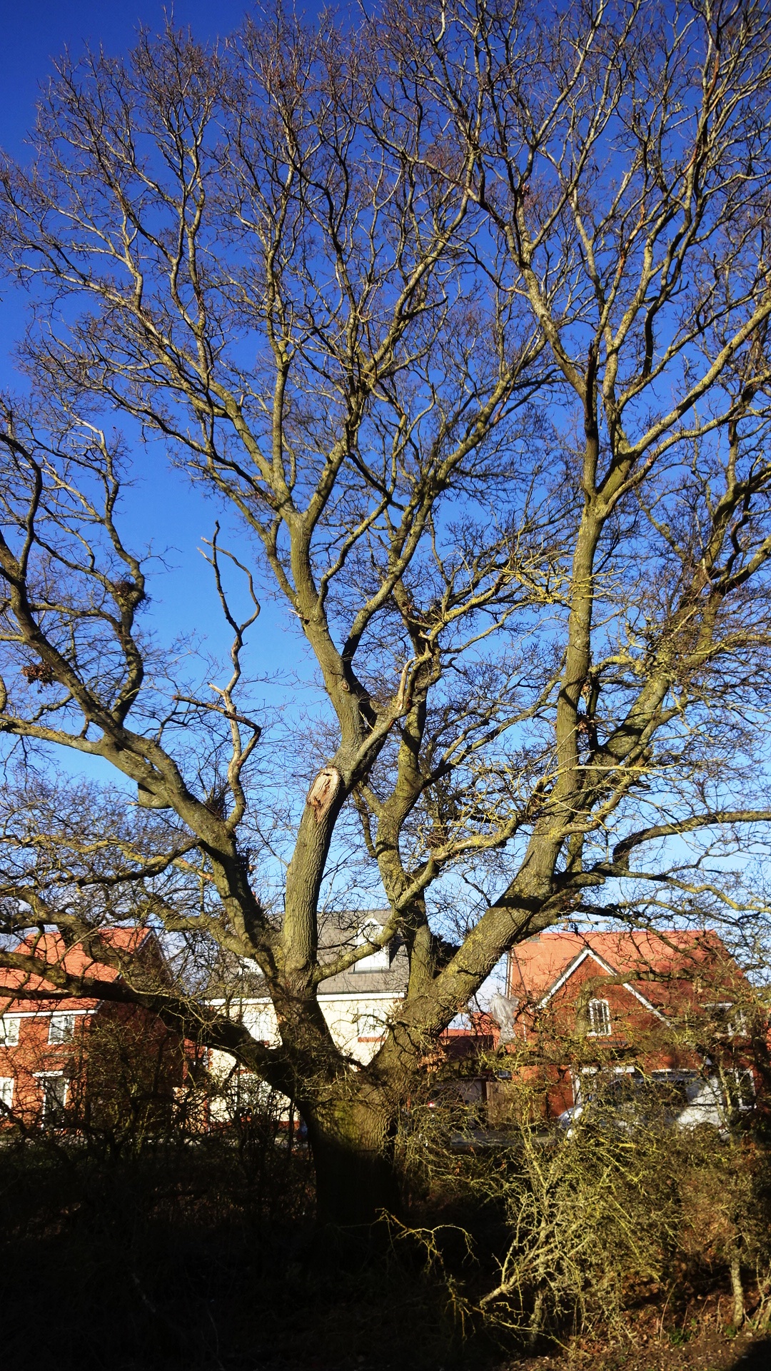
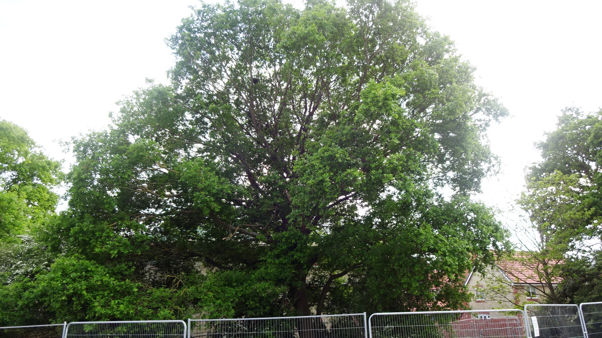
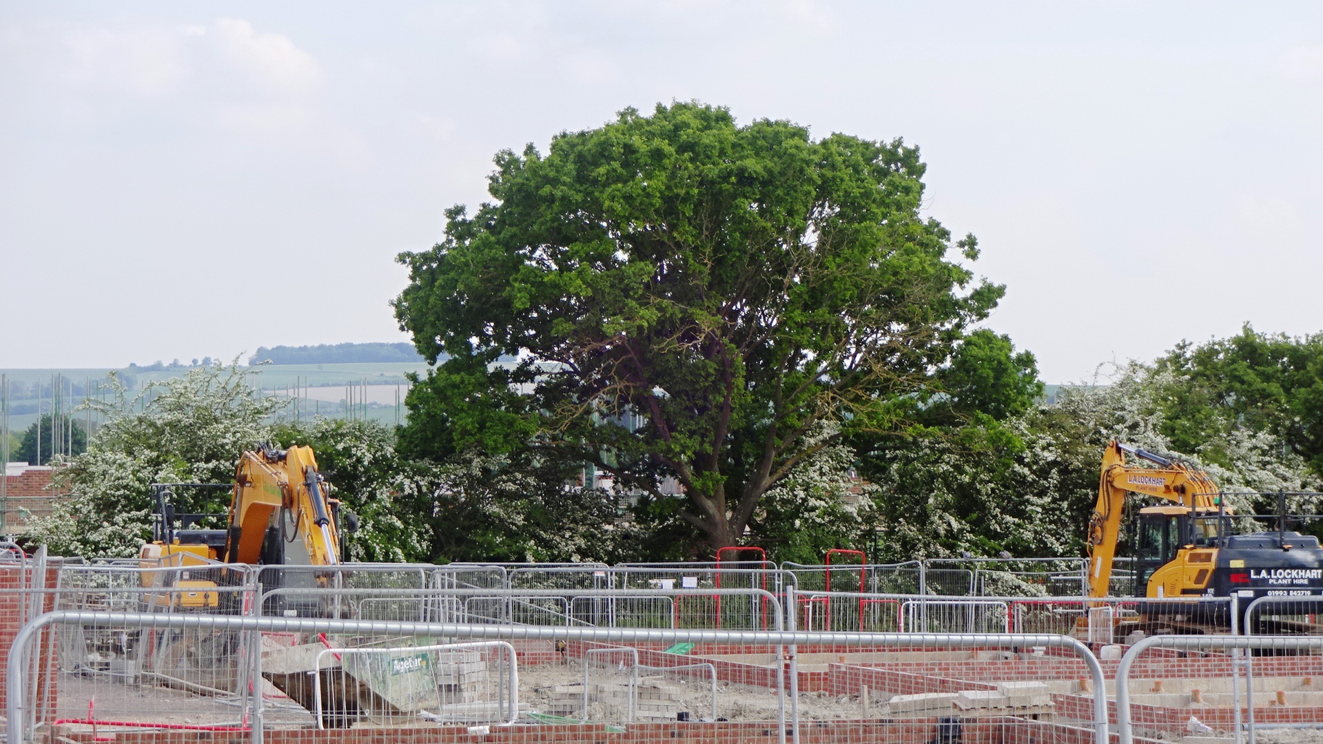
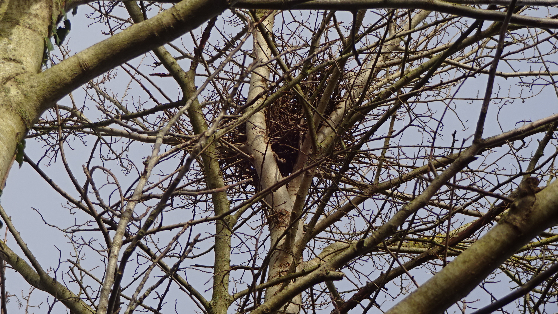
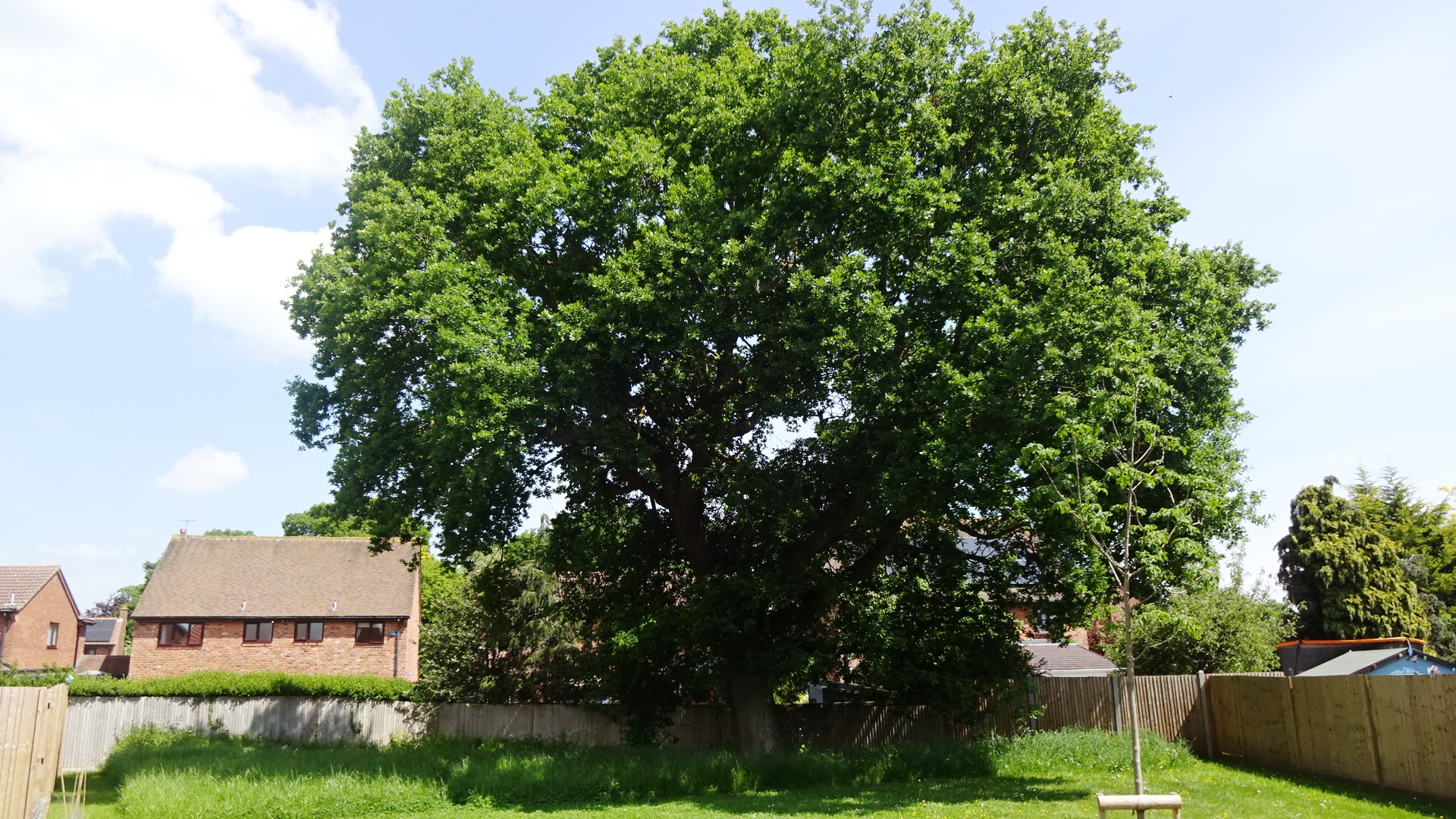
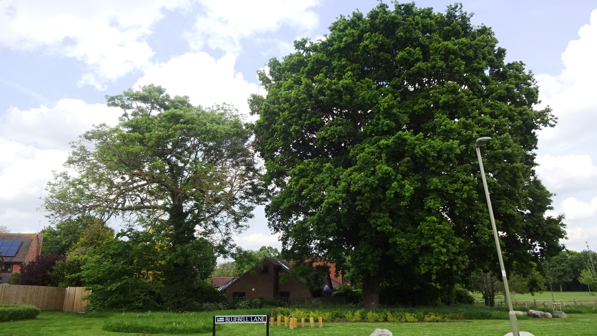
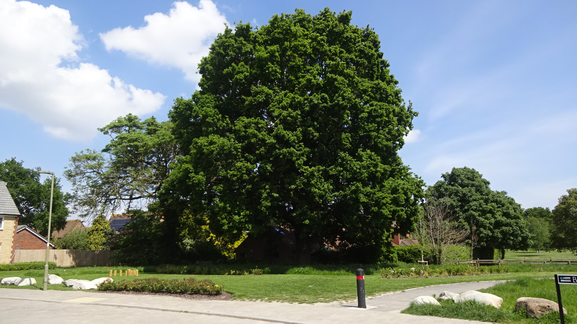
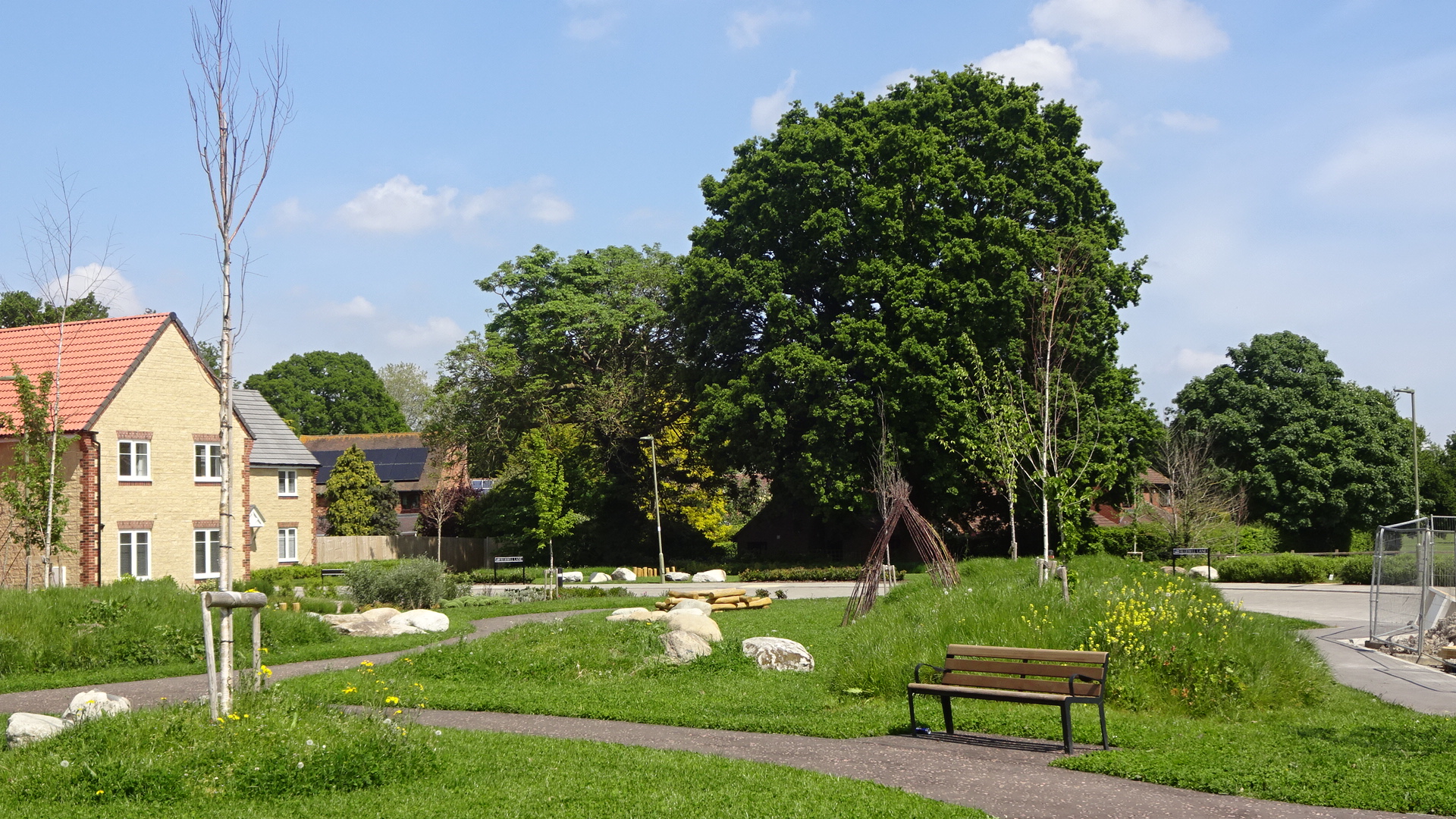
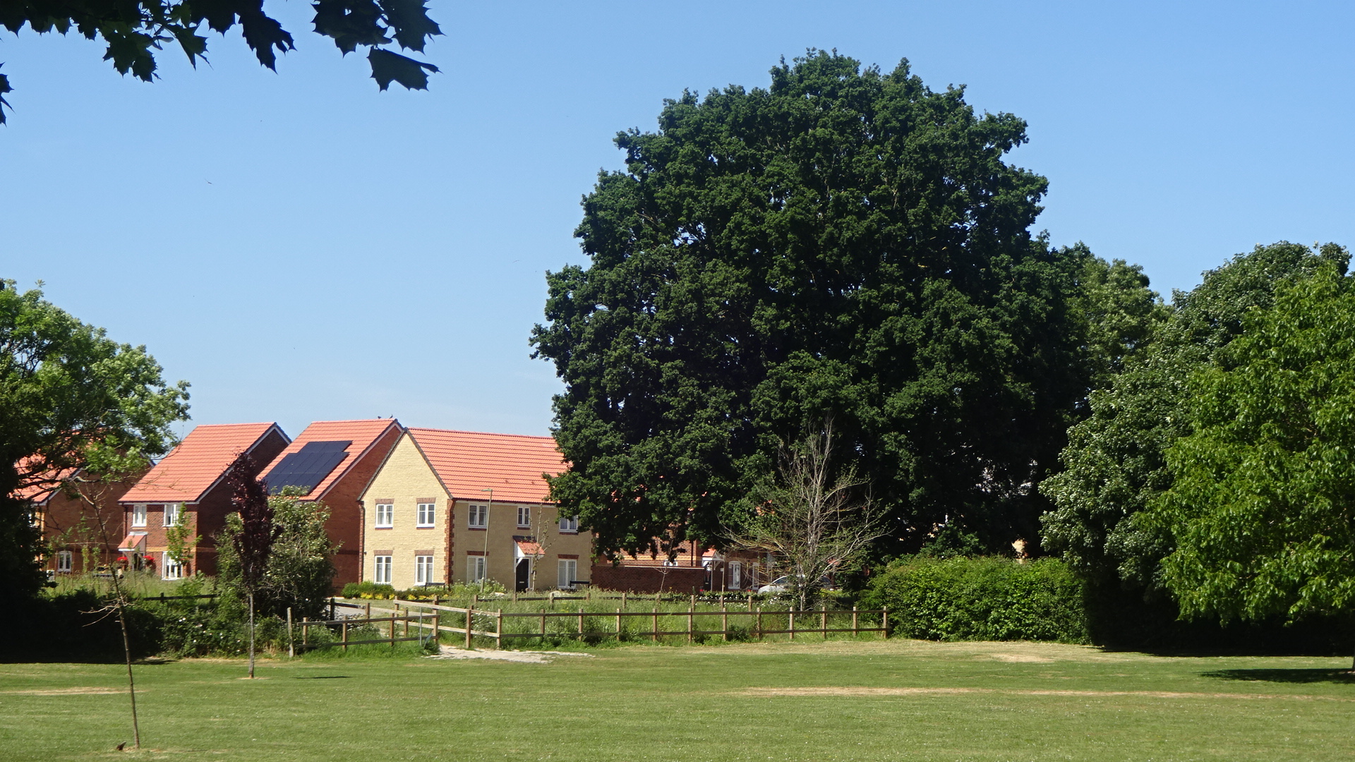
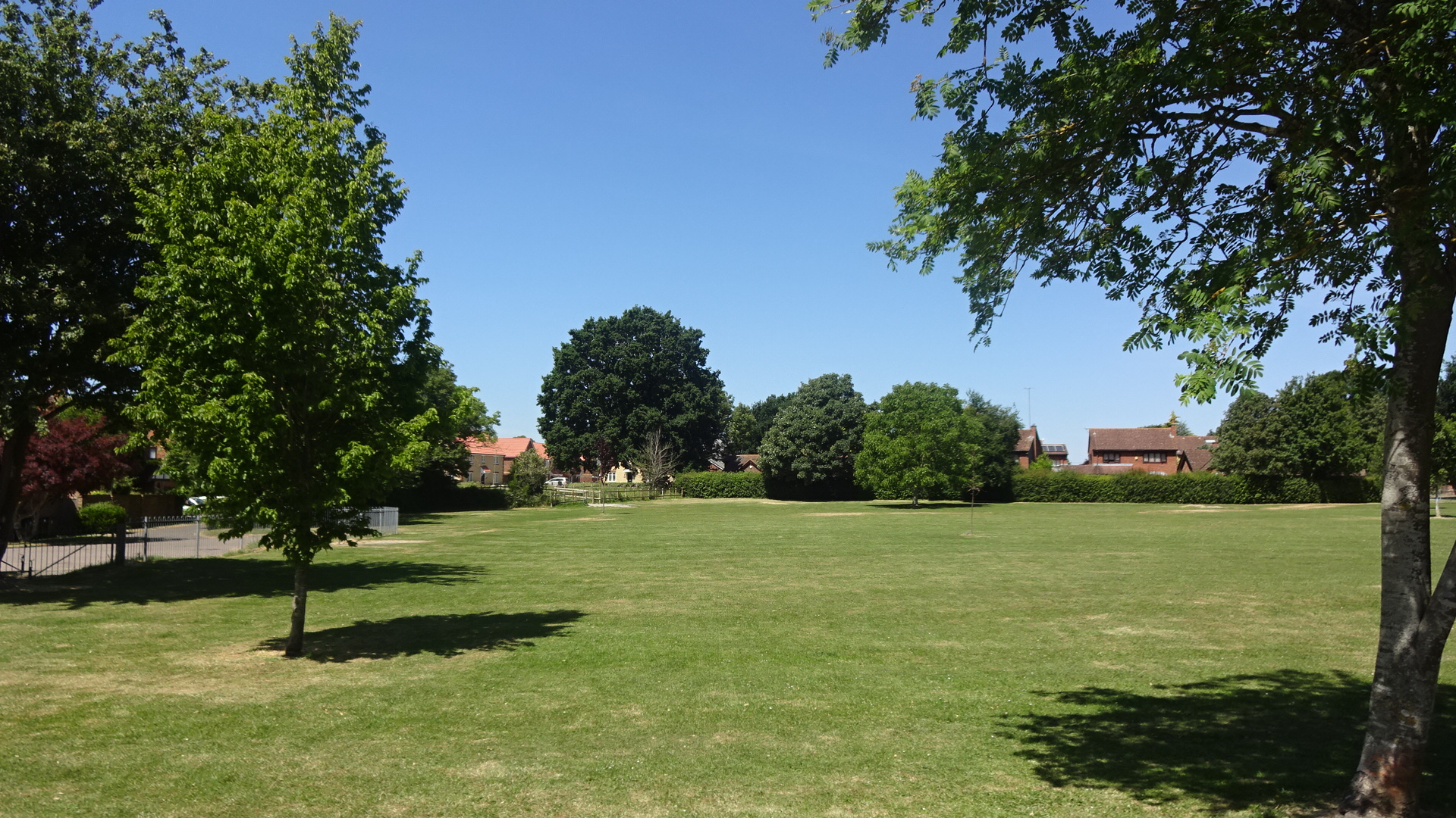
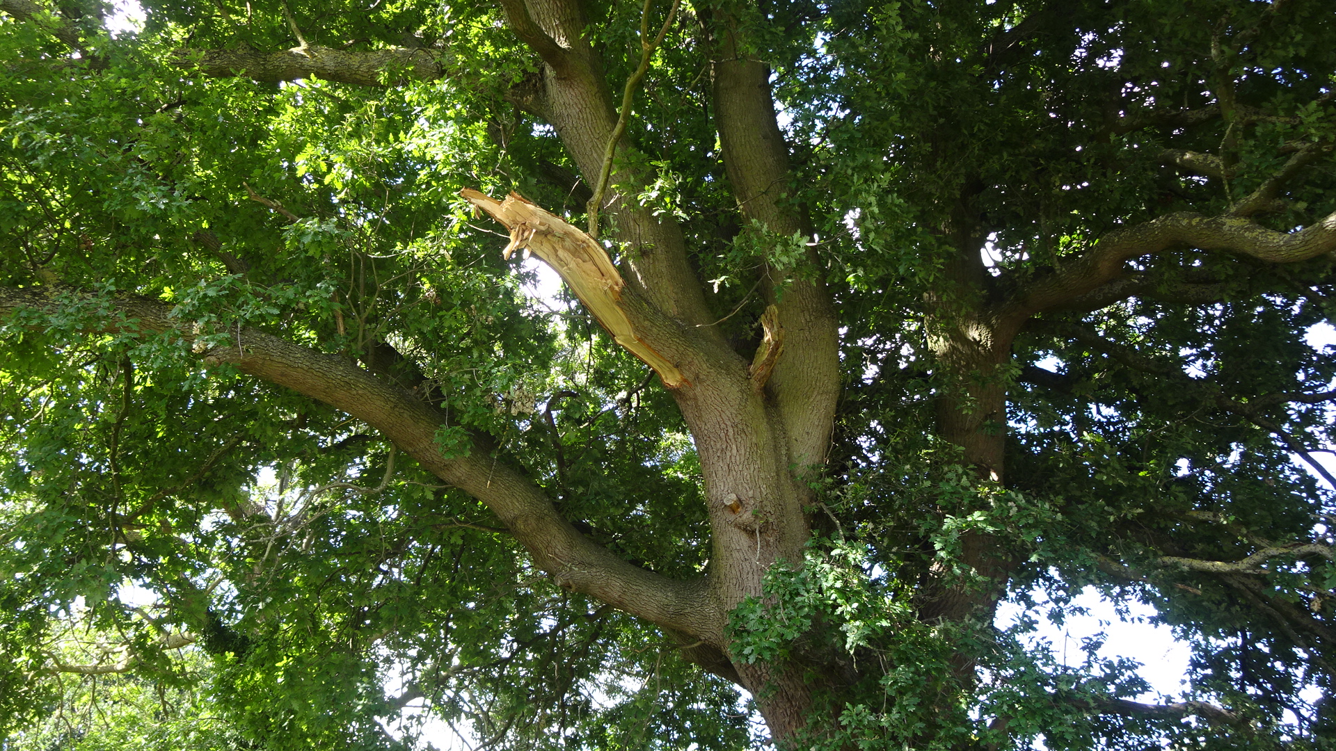
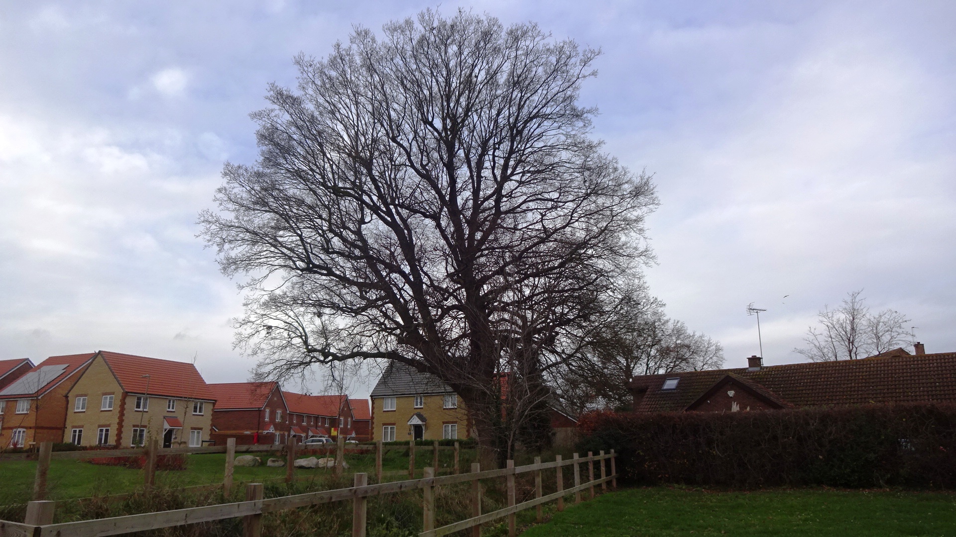
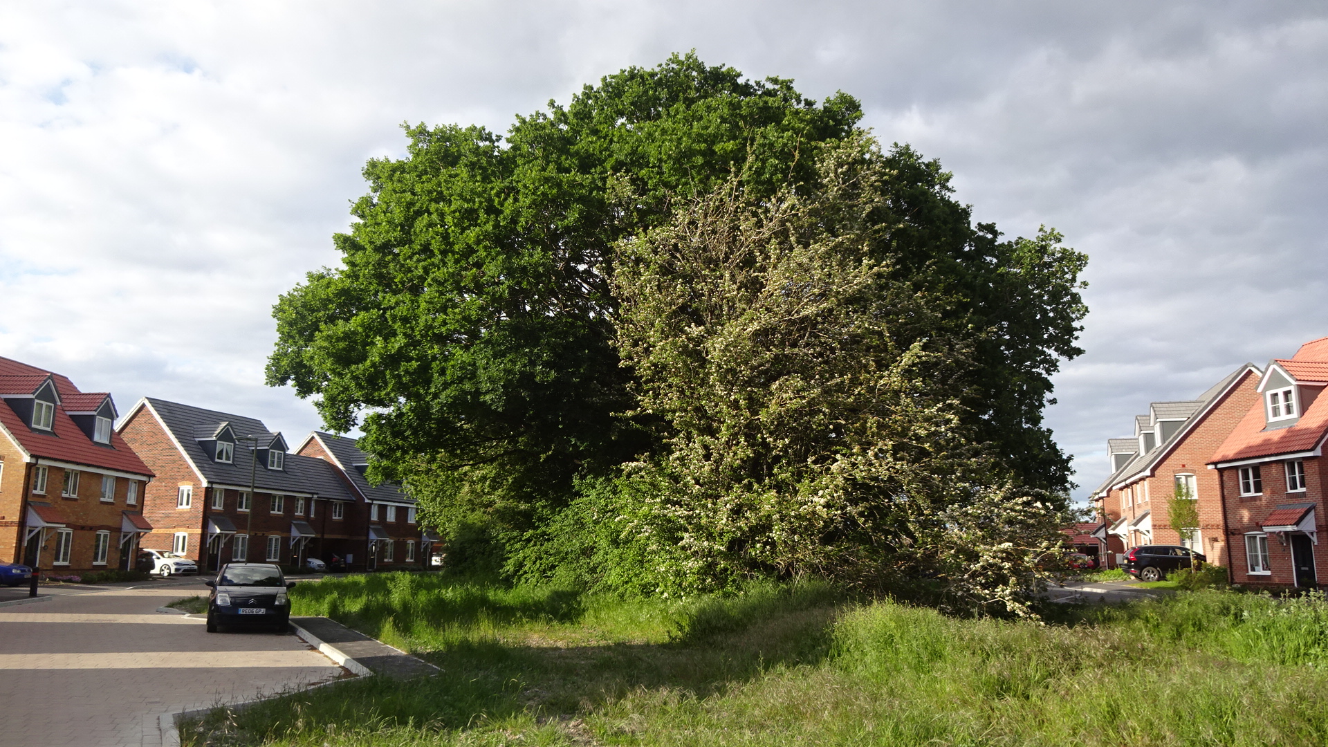
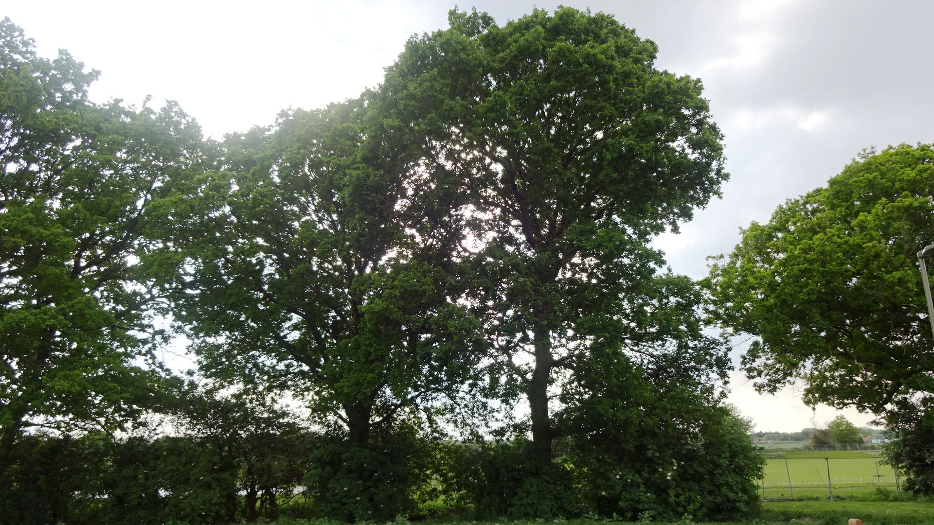
  EAST SIDE  Towards the east of Great Western Park south, starting at Reed Street and walking east then south, two large oaks and a large ash appear just as a view opens over the medium-sized recreation field known as Stubbings Land (or on some maps Two Fields). The nearest oak to the footbridge is recorded on the Woodland Trust Ancient Tree Inventory – it is the fourth largest oak in Didcot, dating from around 1820. From here, on the other side of the field along West Hagbourne footpath, can be seen another large oak of similar size and age. Now becoming Bluebell Lane, the road eventually meets West Hagbourne footpath at a small copse containing eight oaks. 

MAP


  WEST AND SOUTHWEST 

 Southbound down Moreland Road and Sorrel Crescent

GWP S Moreland Road (a)

TPO: no

GWP S Moreland Road (b)

TPO: no

GWP S Wynton Close (T9)

TPO: 06S24T9

GWP S Moreland Rd (G3)

TPO: 06S24G3

Group: Birch, 2 Cherry, Lime,

2 Maple, Oak

GWP S Moreland Rd (T54-49)

TPO: 06S24G3a, T54-T49

Largest T53: 279 cm in 2020

120 years = 1900

GWP S Sorrel Crescent (T54)

TPO: 06S24T54

Young

GWP S Sorrel Cresc (T45-47)

TPO: 06S24T45, T46, T47

Largest T47 296 cm in 2020

130 years = 1890

GWP S Sorrel Crescent (T44)

TPO: 06S24T44

Young

GWP S Sorrel Cresc (T42-43)

TPO: 06S24T42, T43

T42: Girth 171 cm in 2020

70 years = 1950. T43: large

GWP S Sorrel Cresc (T40-41)

TPO: 06S24T40, T41

T40: Girth 182 cm in 2020

T41: small

GWP S Sorrel Crescent (T40)

TPO: 06S24T40

Girth 182 cm in 2020

70 years = 1950

GWP S Sorrel Cresc (T37-39)

TPO: 06S24T37, T38, T39

Inaccessible (undergrowth)

GWP S Sorrel Cresc (T34-36)

TPO: 06S24T34, T35, T36

Inaccessible (undergrowth)

T35: large

GWP S Sorrel Crescent (T34)

TPO: 06S24T34

Inaccessible (undergrowth)

GWP S Sorrel Crescent (T33)

TPO: 06S24T33

Girth 351 cm in 2020

165 years = 1855

GWP S Sorrel Crescent (T33)

TPO: 06S24T33

Girth 351 cm in 2020

165 years = 1855

GWP S Sorrel Crescent (T33)

TPO: 06S24T33

Girth 351 cm in 2020

165 years = 1855

GWP S Sorrel Crescent (T32)

TPO: 06S24T32

Girth 223 cm in 2020

90 years = 1930

GWP S Wagtail Haven (T26-27)

TPO: 06S24T27, T27

Inaccessible in

construction site

GWP S unnamed road (T55)

TPO: 06S24T55

Inaccessible in

construction site

To be updated and completed after building work has finished and construction fencing removed.


  CENTRAL NORTH 

 Wintergreen footpath, Pill Pond

GWP S Wintergreen path (a)

TPO: no

Largest 268 cm in 2020

113 years = 1907

GWP S Wintergreen path (b)

TPO: no

Largest 268 cm in 2020

113 years = 1907

GWP S Wintergreen path (b)

TPO: no

Largest 268 cm in 2020

113 years = 1907

GWP S Wintergreen path (d)

TPO: no

Girth 220 cm in 2020

90 years = 1930

GWP S Wintergreen walnut

TPO: no

Private garden to north

GWP S Wintergreen path (e)

Look out for birds along this

path, and for young walnut

trees

GWP S Pill Pond in spring

Usually has water in after rain

and in winter, but may be

dry in summer

GWP S Pill Pond in summer

GWP S Pill Pond in winter

##Furlong Wood

TPO: no

Accessible via ##


  CENTRAL SOUTH 

 Around the double ponds and orchard

GWP S Ramsons Crescent (a)

TPO: 06S24T1

Girth 196 cm in 2020

80 years = 1940

GWP S Ramsons Crescent (b)

TPO: no

Girth 196 cm in 2020

80 years = 1940

GWP S Ramsons Crescent (c)

TPO: no

Girth 196 cm in 2020

80 years = 1940

GWP S twin lakes

TPO: 06S24T7

View from Scots Pine Way

Ash in distance

GWP S orchard – under

construction N of Down Farm.

Progress can be viewed

from Ransoms Crescent


  EAST SIDE 

 Reed Street, Stubbings Land, Bluebell Lane

Bluebell Lane

TPO: 15S05T4

Girth 272 cm in 2020

115 years = 1905

Bluebell Lane, at Stubbings

Land (a)

TPO Ash: 15S05T5, Oak T6

(Ash hollow: felled 2023)

Stubbings Land (b)

TPO: 15S05T6

Girth 392 cm in 2020

200 years = 1820

Stubbings Land (c)

TPO: 15S05T6

Girth 392 cm in 2020

200 years = 1820

Stubbings Land (d)

TPO: 15S05T6

Girth 392 cm in 2020

200 years = 1820

Stubbings Land (e)

TPO: 15S05T6

Girth 392 cm in 2020

200 years = 1820

Stubbings Land (f)

TPO: 15S05T6

Girth 392 cm in 2020

200 years = 1820

Stubbings Land (g)

TPO: 15S05T6

Girth 392 cm in 2020

200 years = 1820

Stubbings Land (h)

TPO: 15S05T6

Girth 392 cm in 2020

200 years = 1820

W Hagbourne path group of 8

TPO: 06S42G2

Eight-oak copse

along Bluebell lane

From the small copse containing eight oaks, a walk can be continued either southbound on the West Hagbourne path, or northbound back to the Wantage Road, passing a view over Stubbings Land to the large oak (shown above), and encountering several other large oaks.