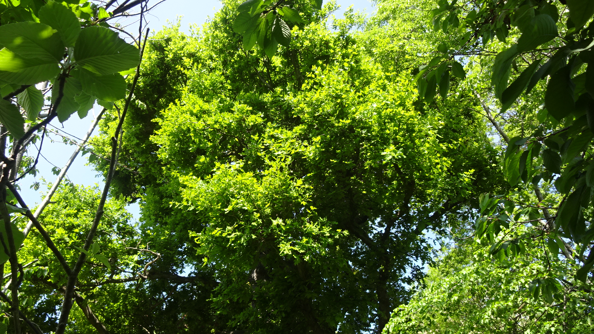
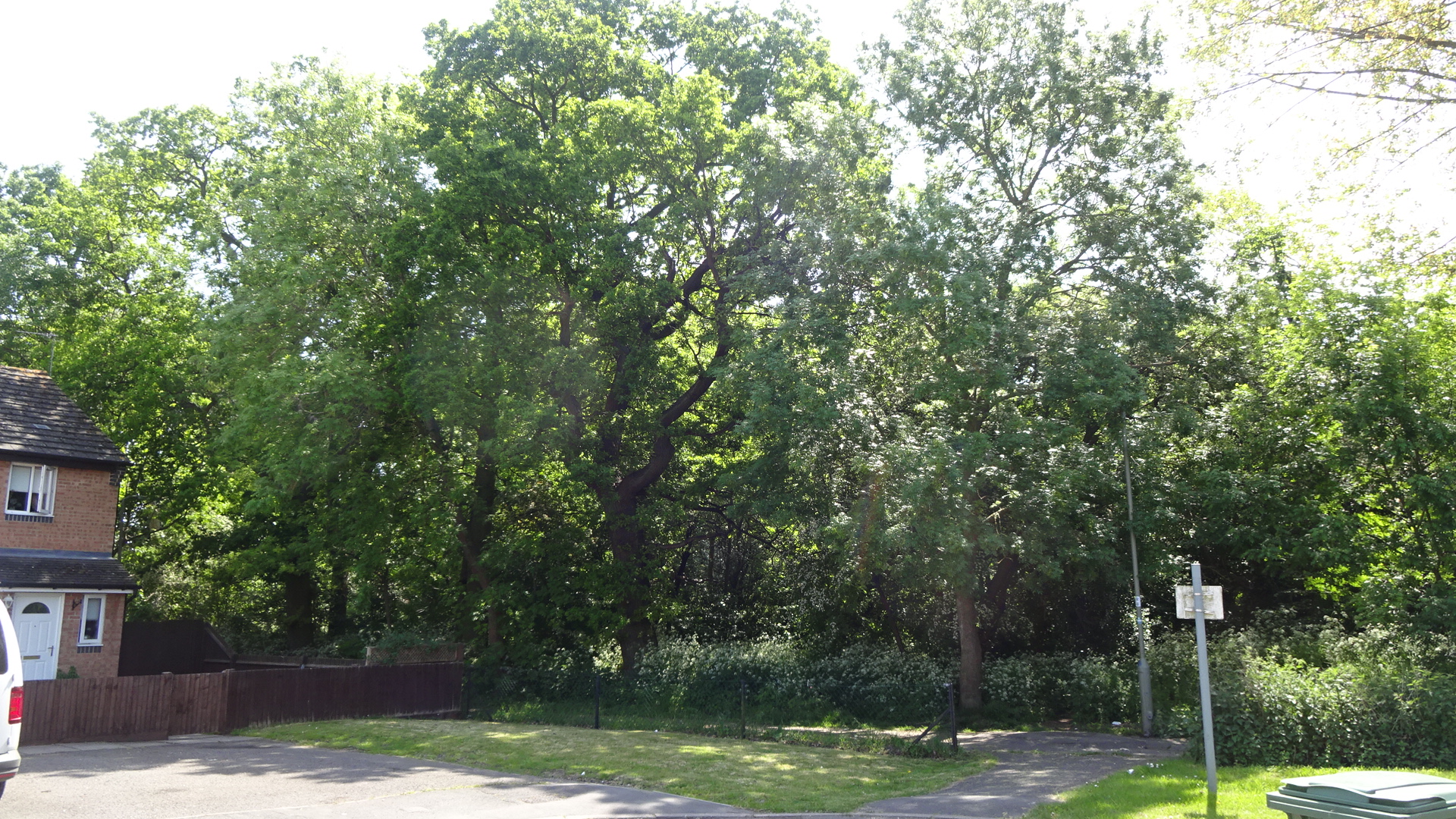
Mostly oak trees and a wood in Ladygrove Park east of Mersey Way
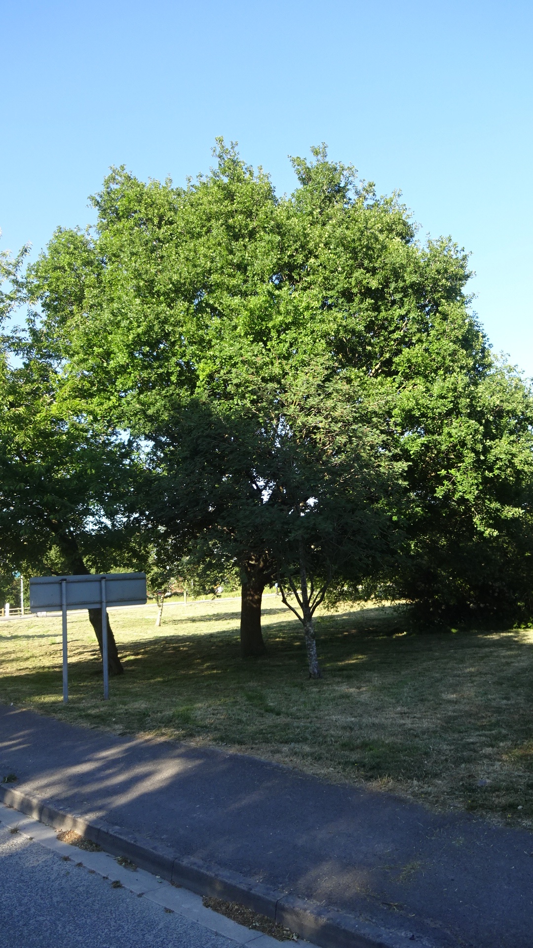
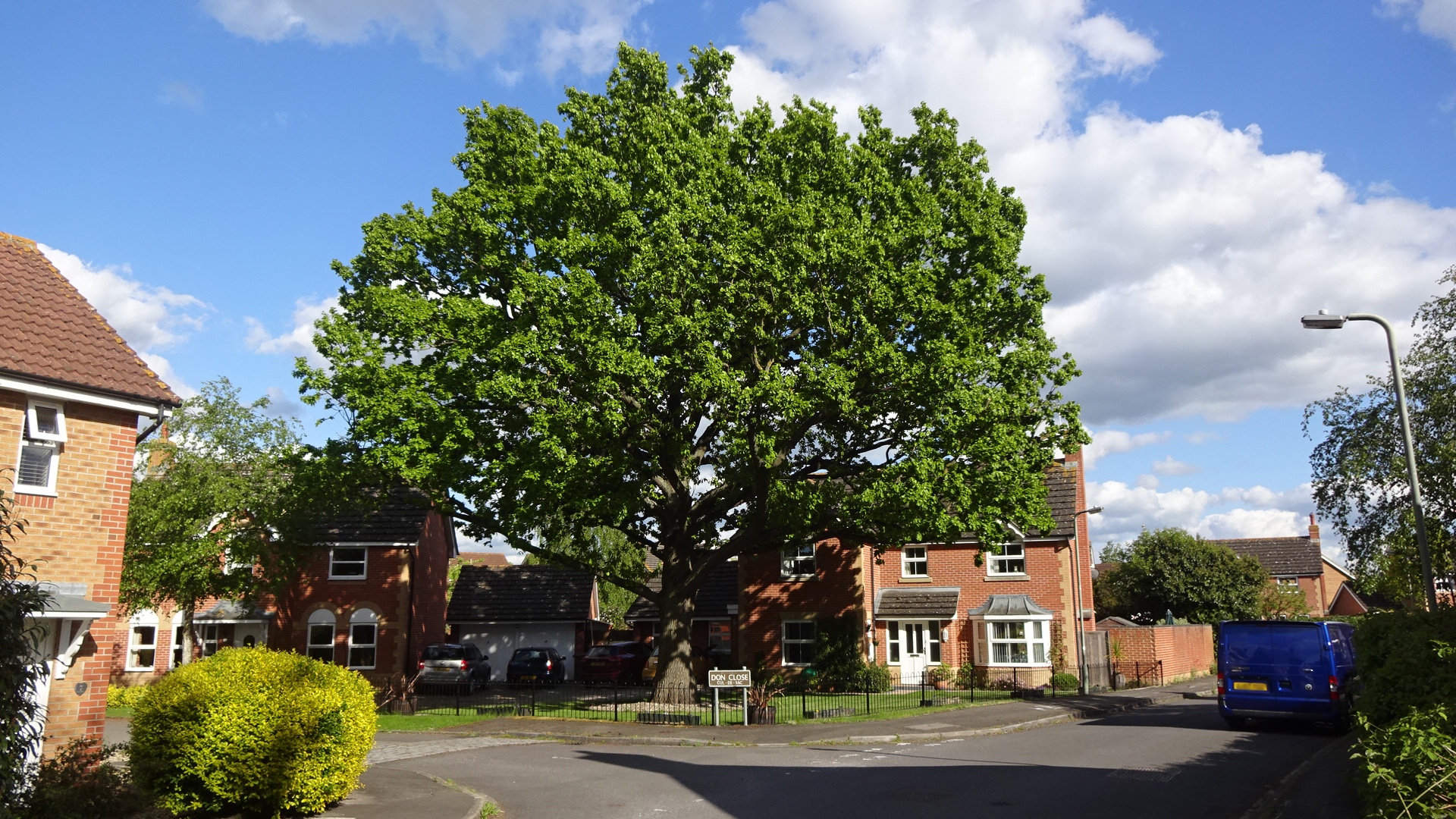
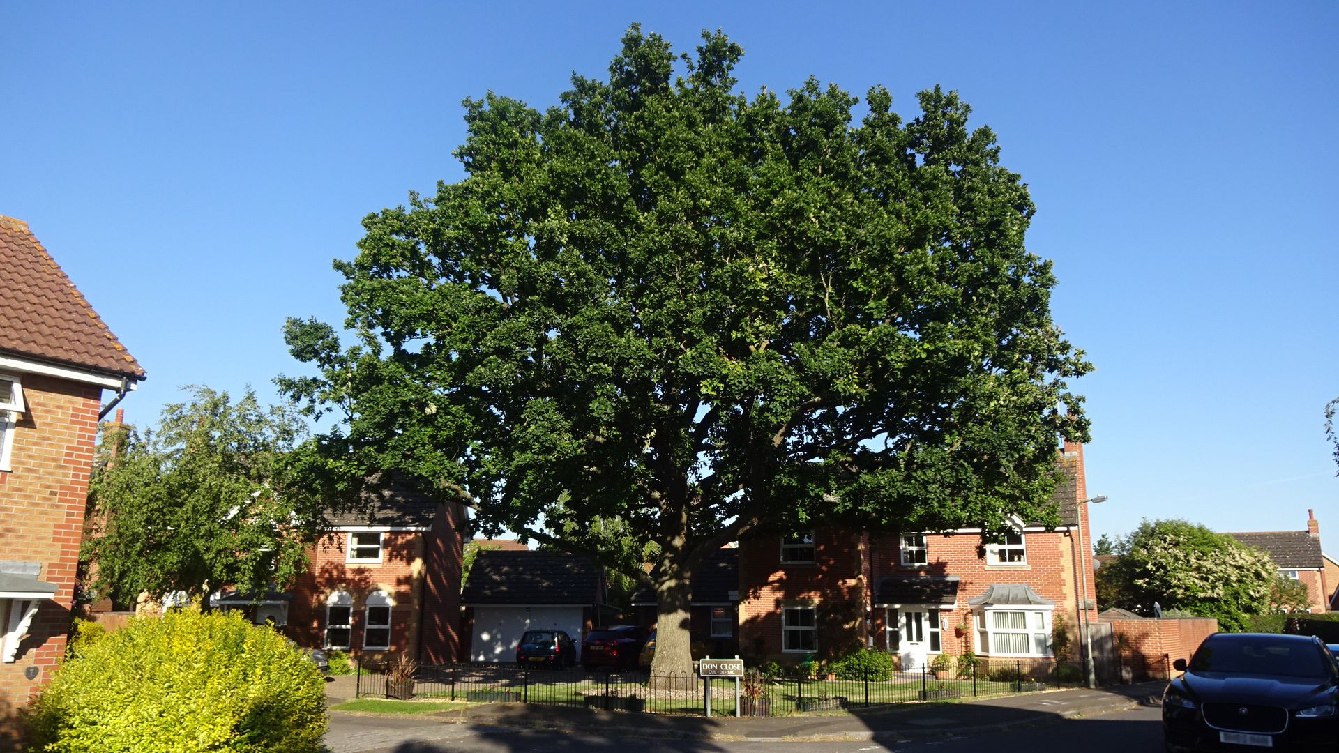
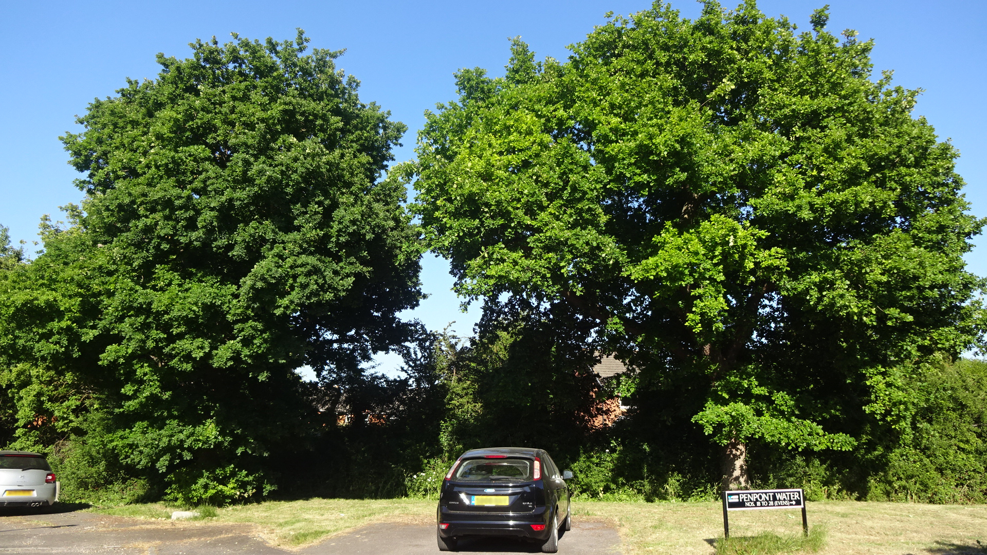
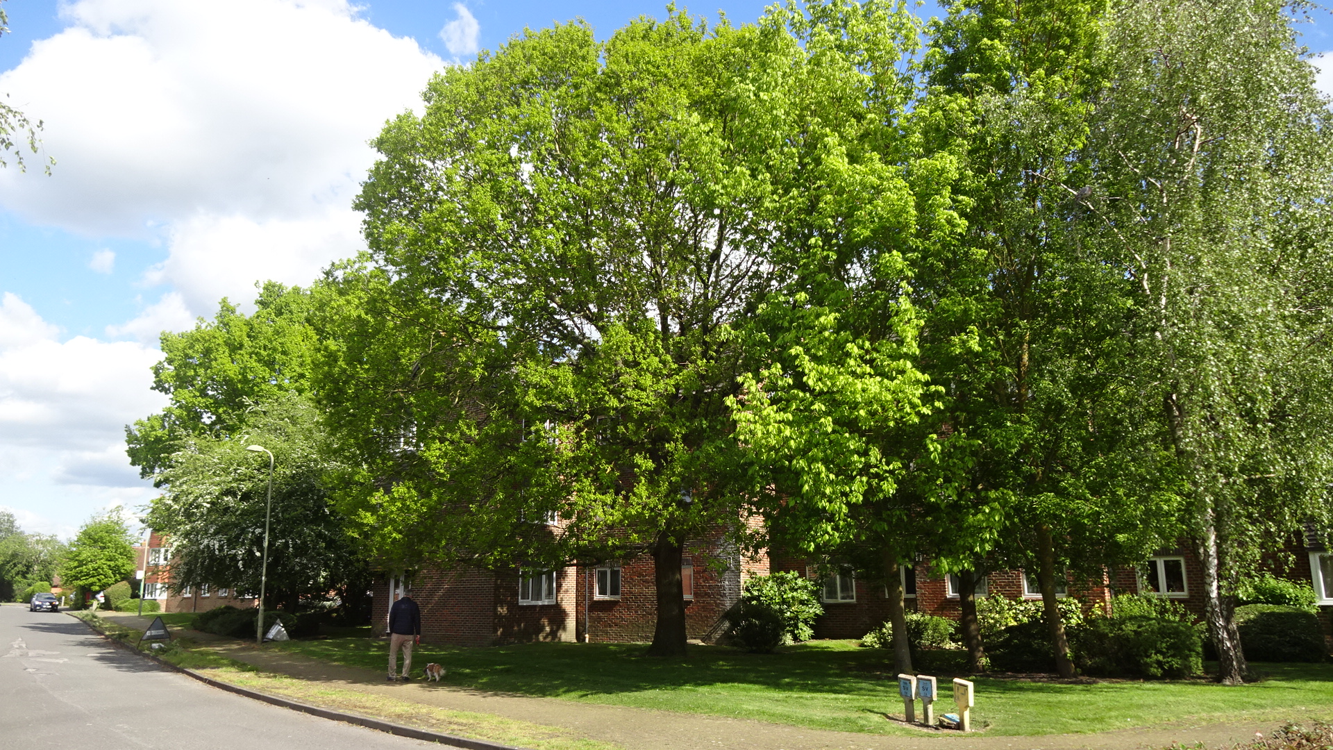
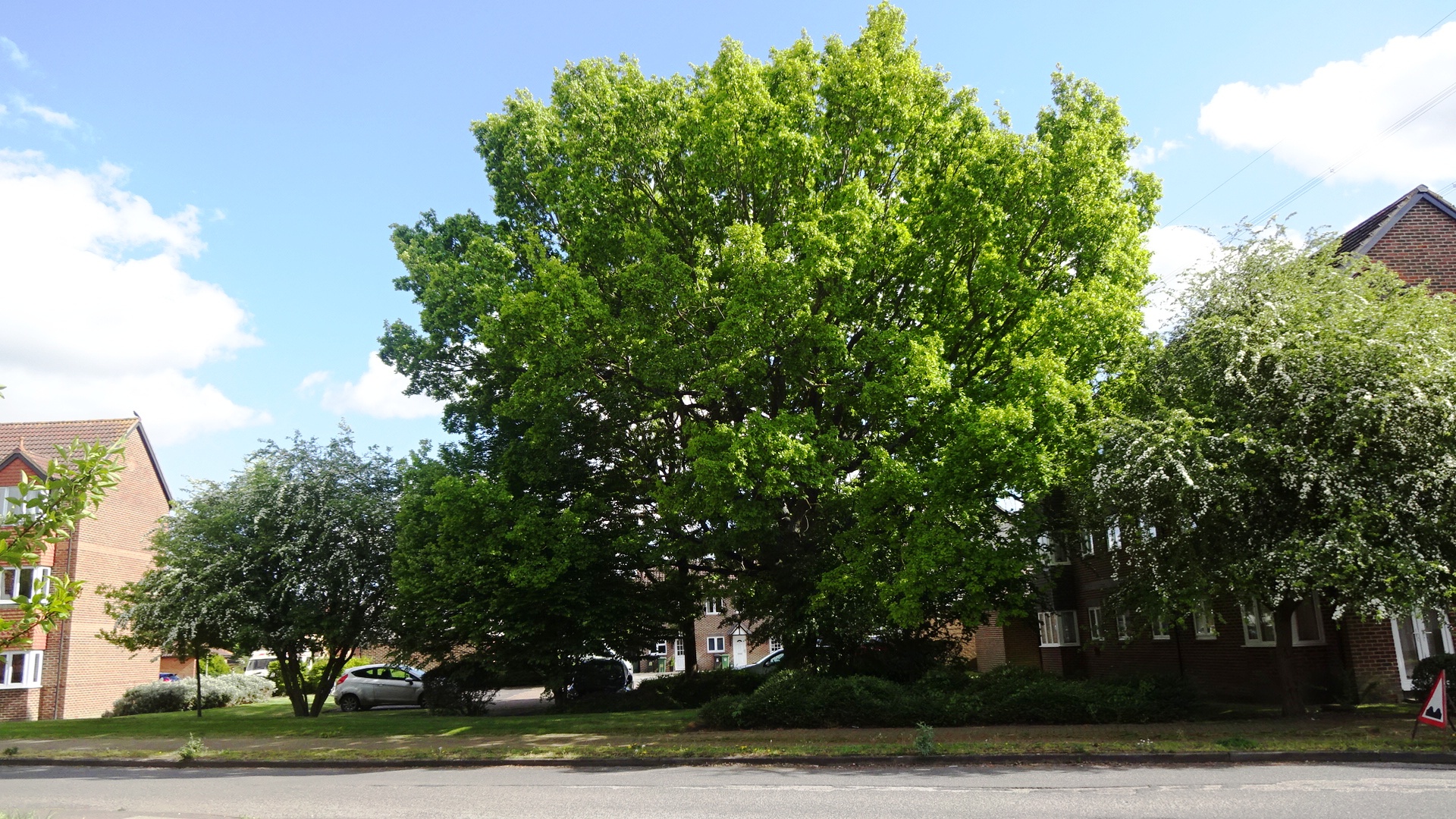
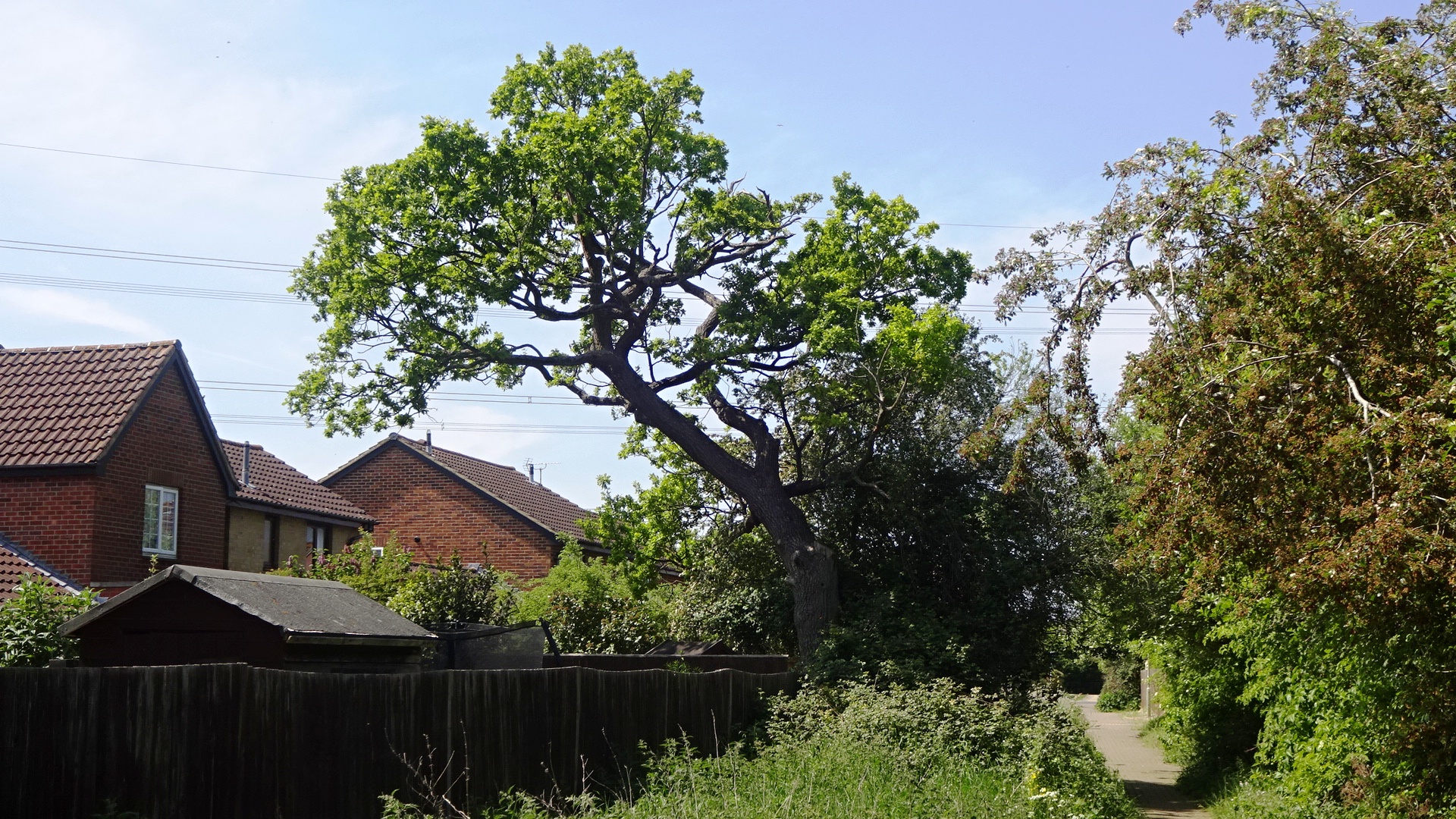
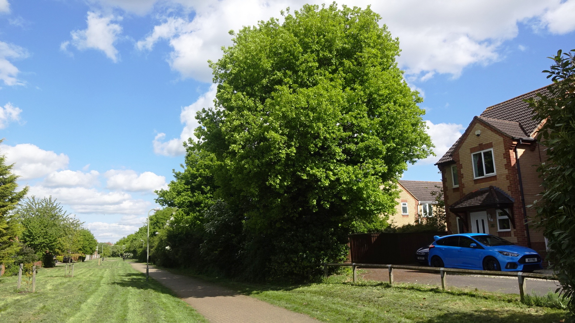
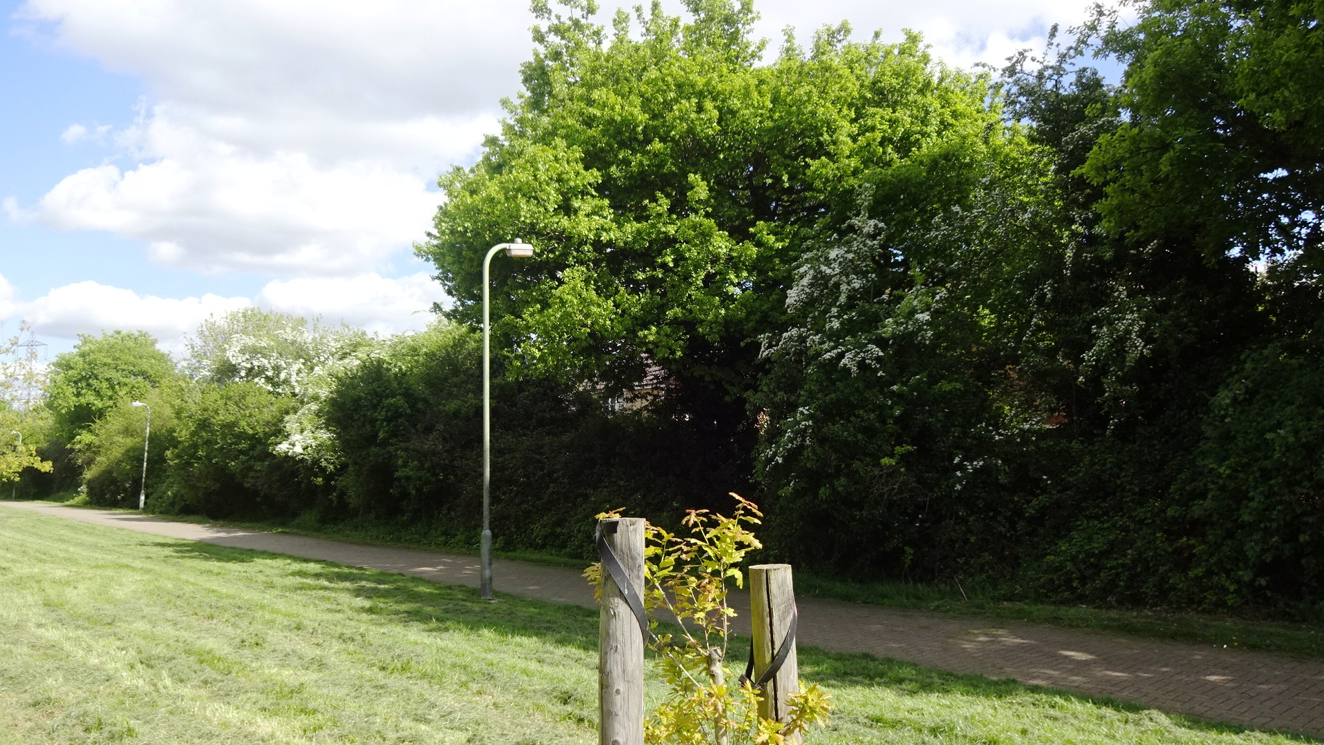
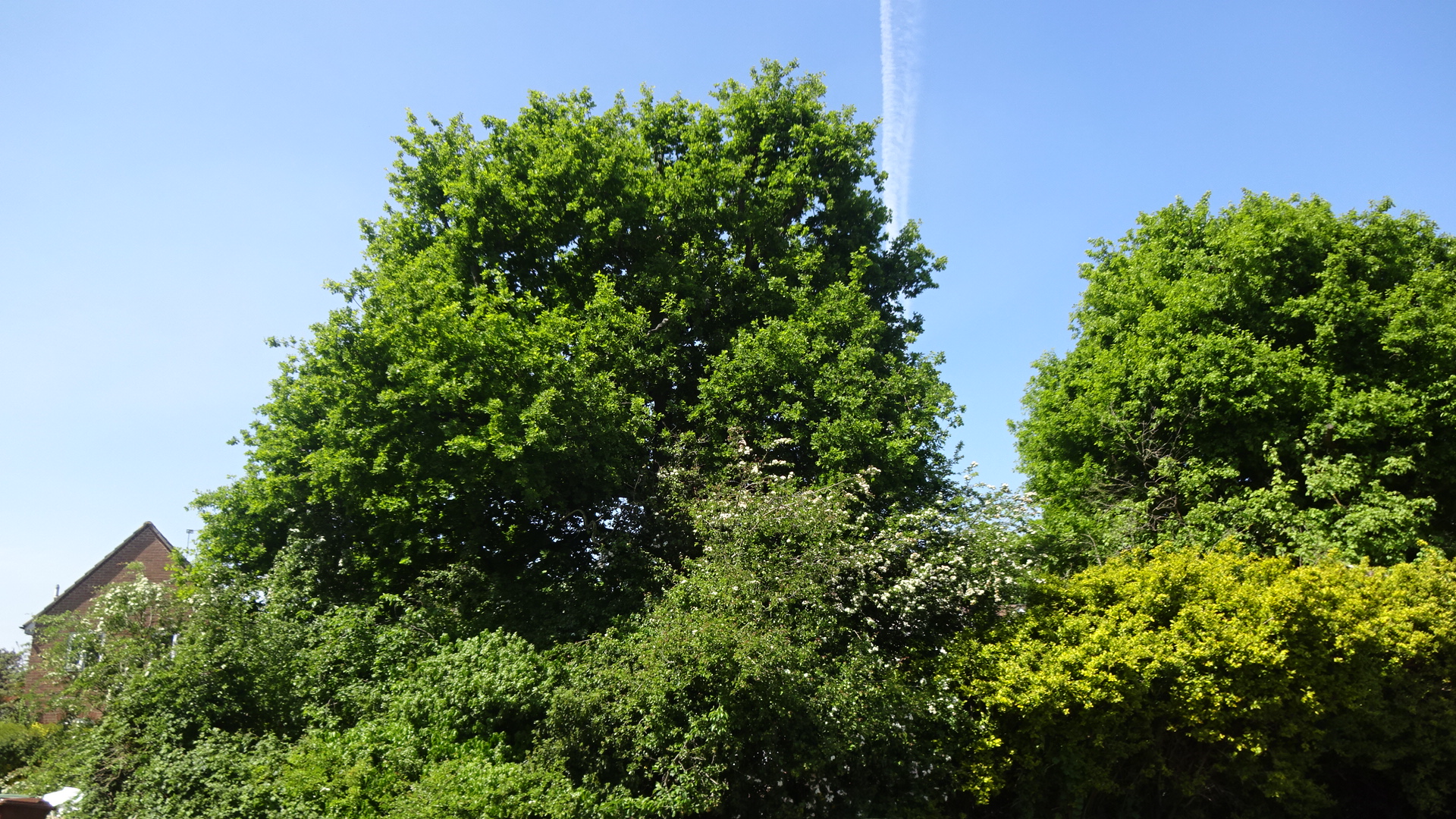
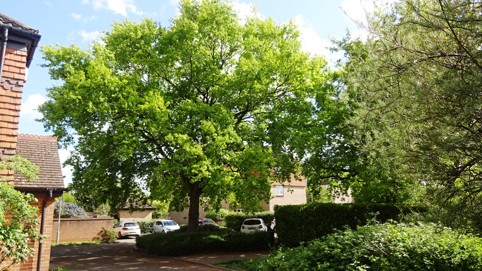
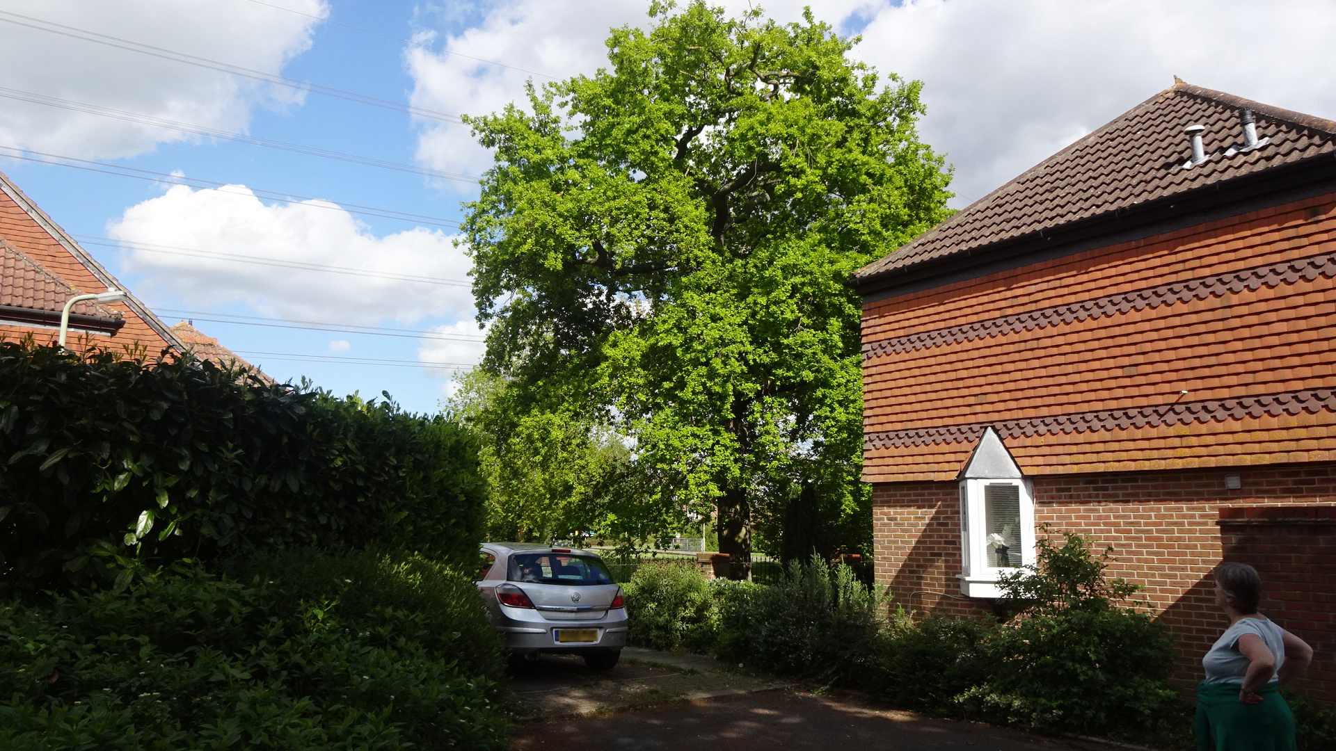
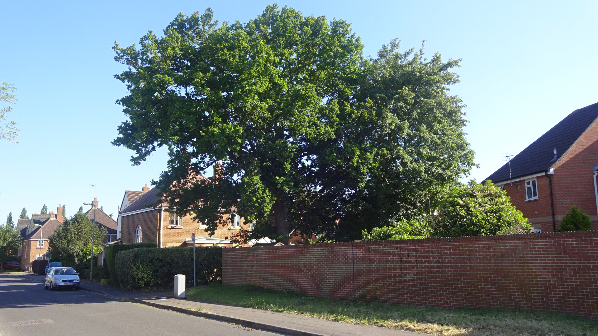
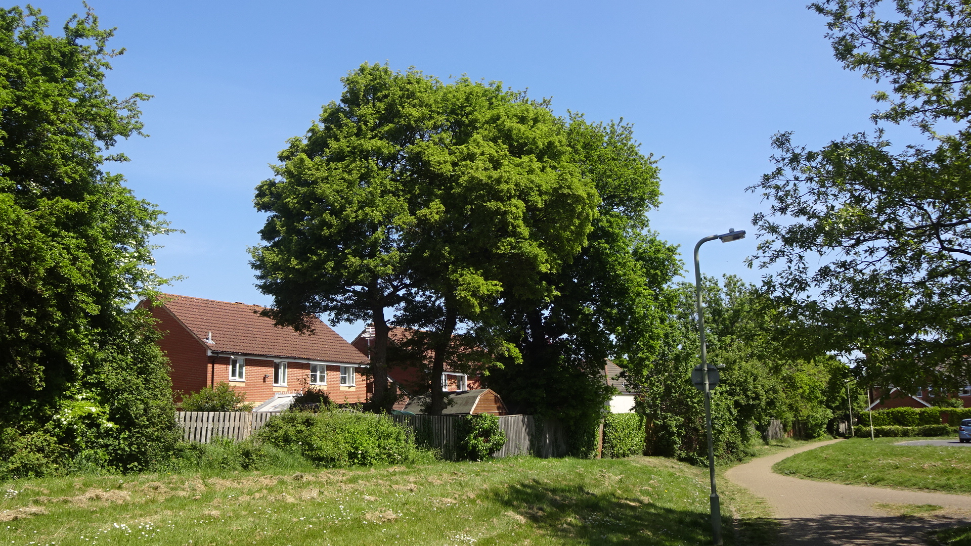
NORTHERN Starting at the north end of Mersey Way, there are a few notable oaks giving character to the streets of the northern part of Ladygrove Park. Another line of oaks can be found lining the brook. After a visit to Ladygrove Wood (see below) there are a few more trees along Trent Road.
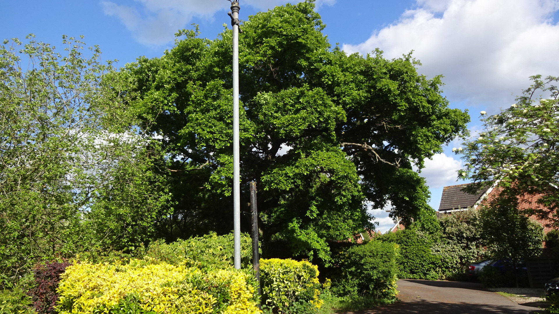
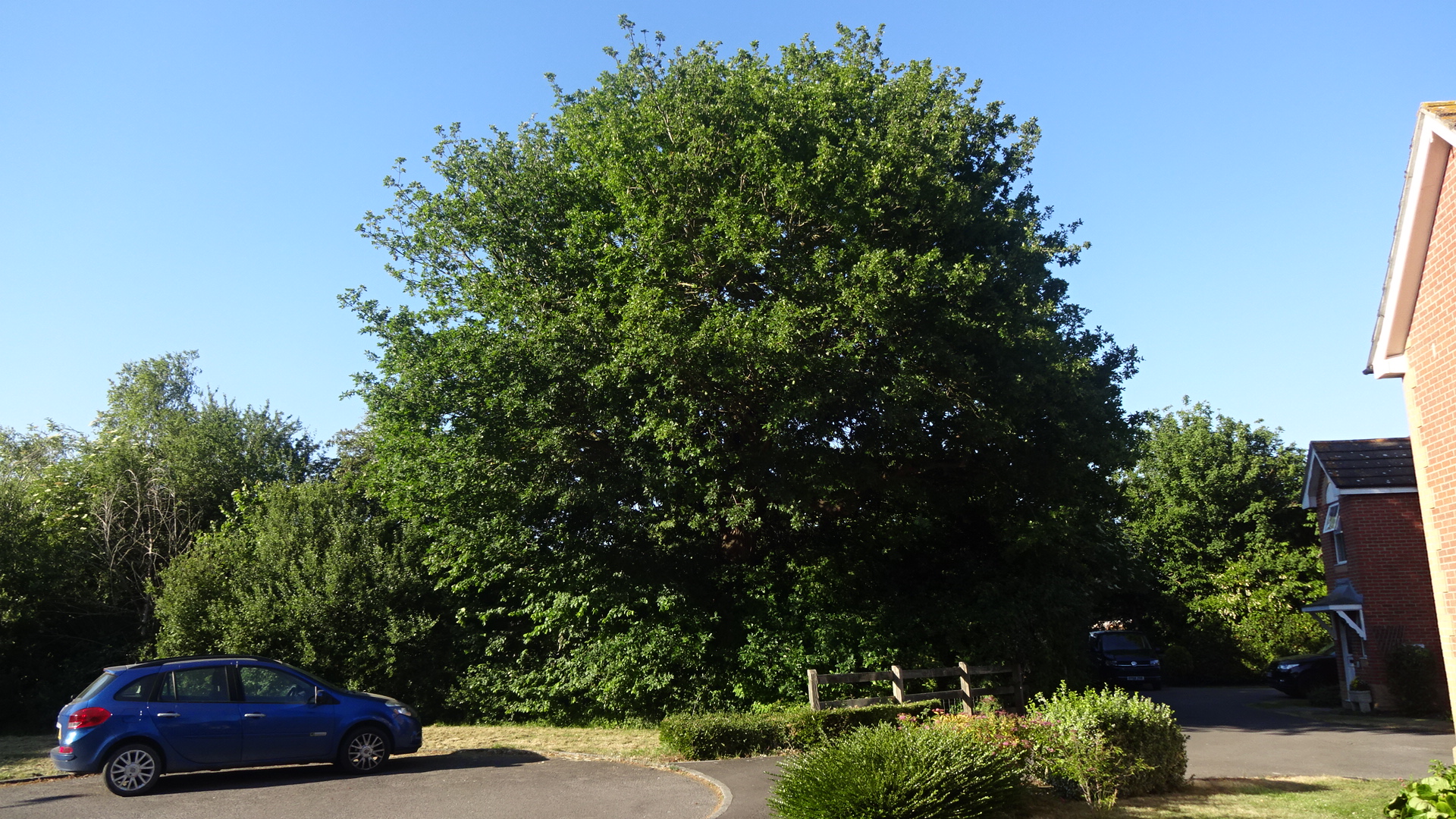
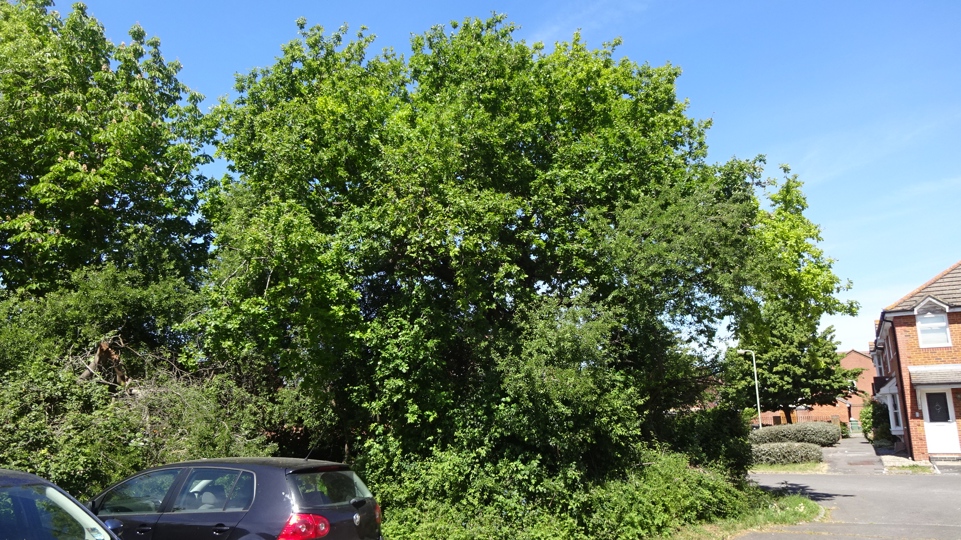
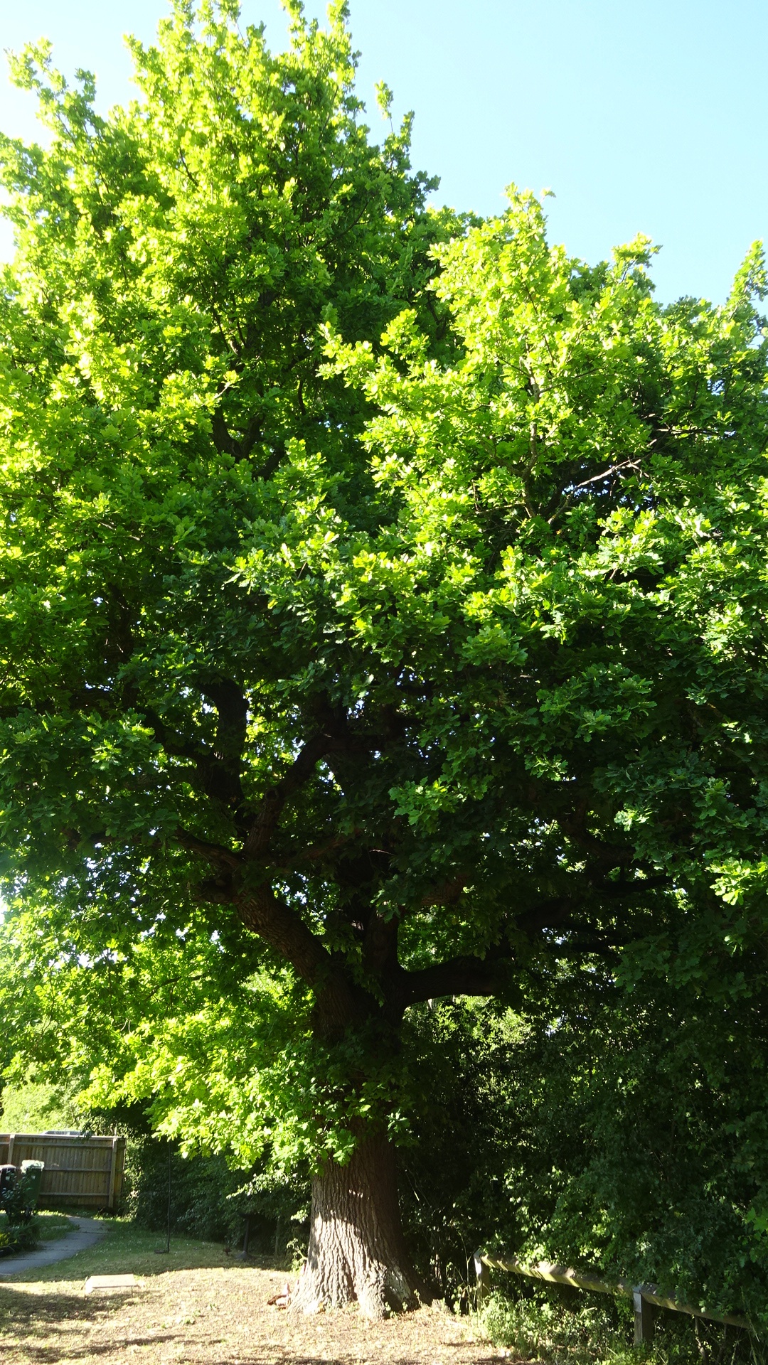
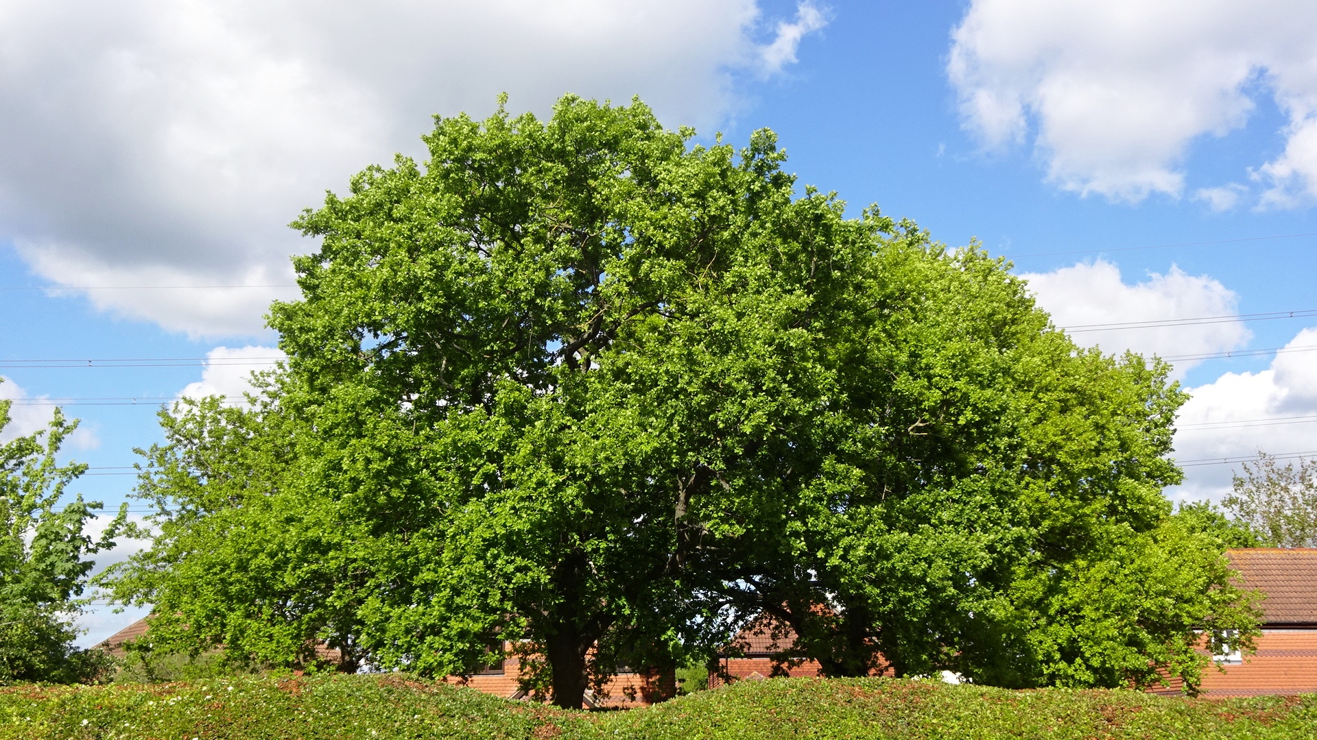
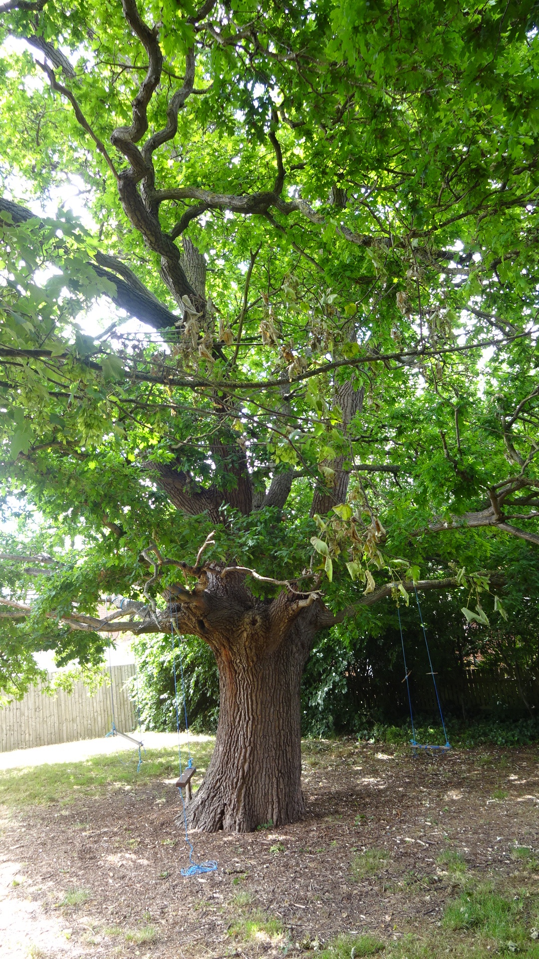
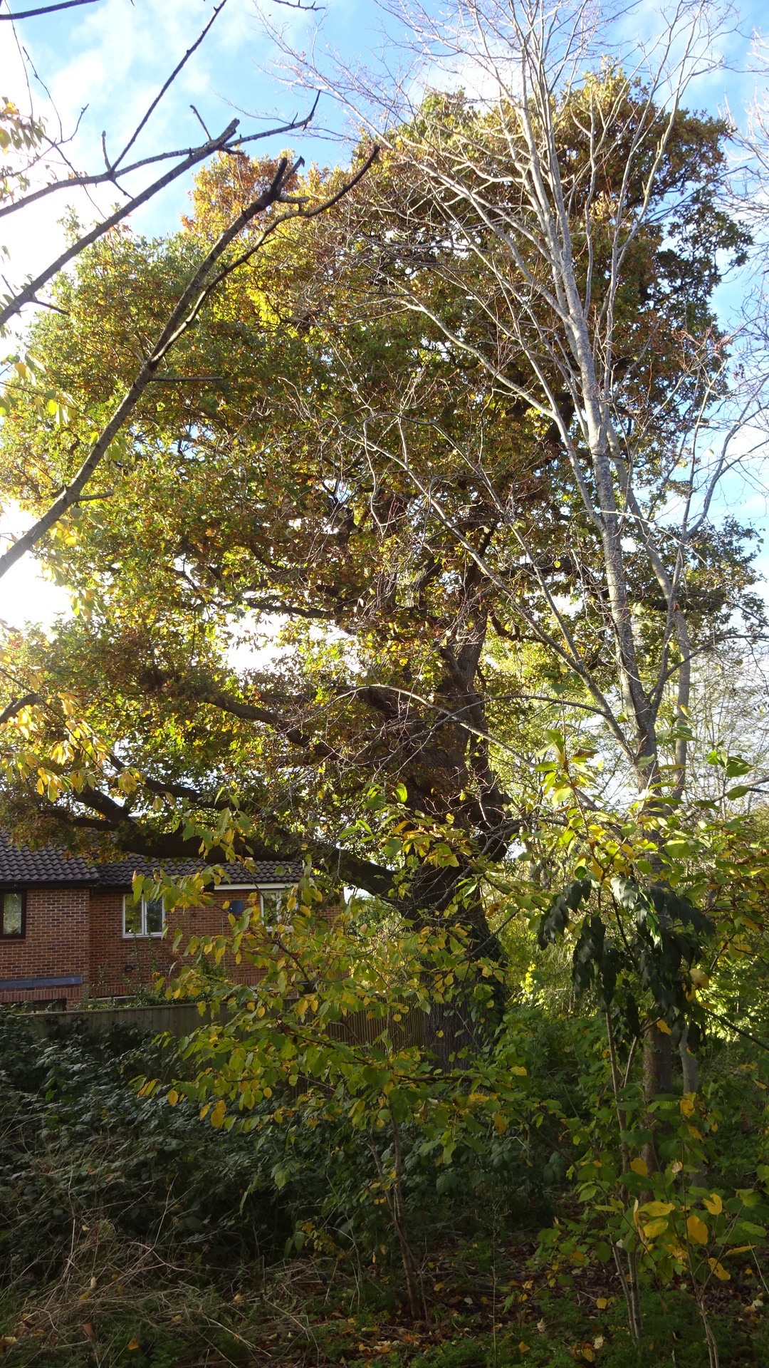
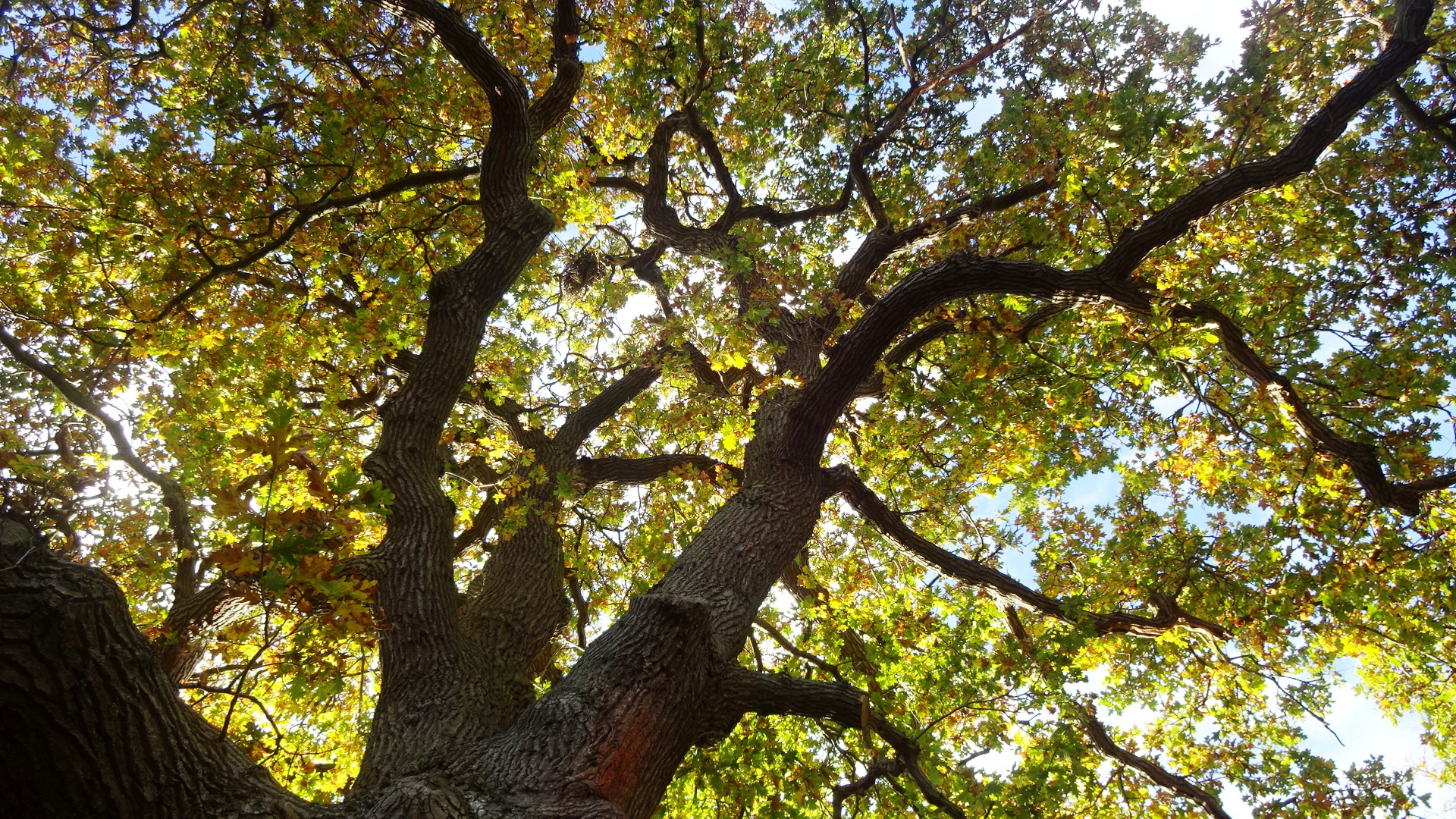
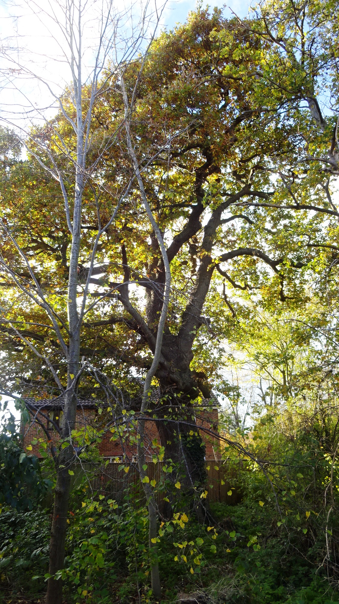
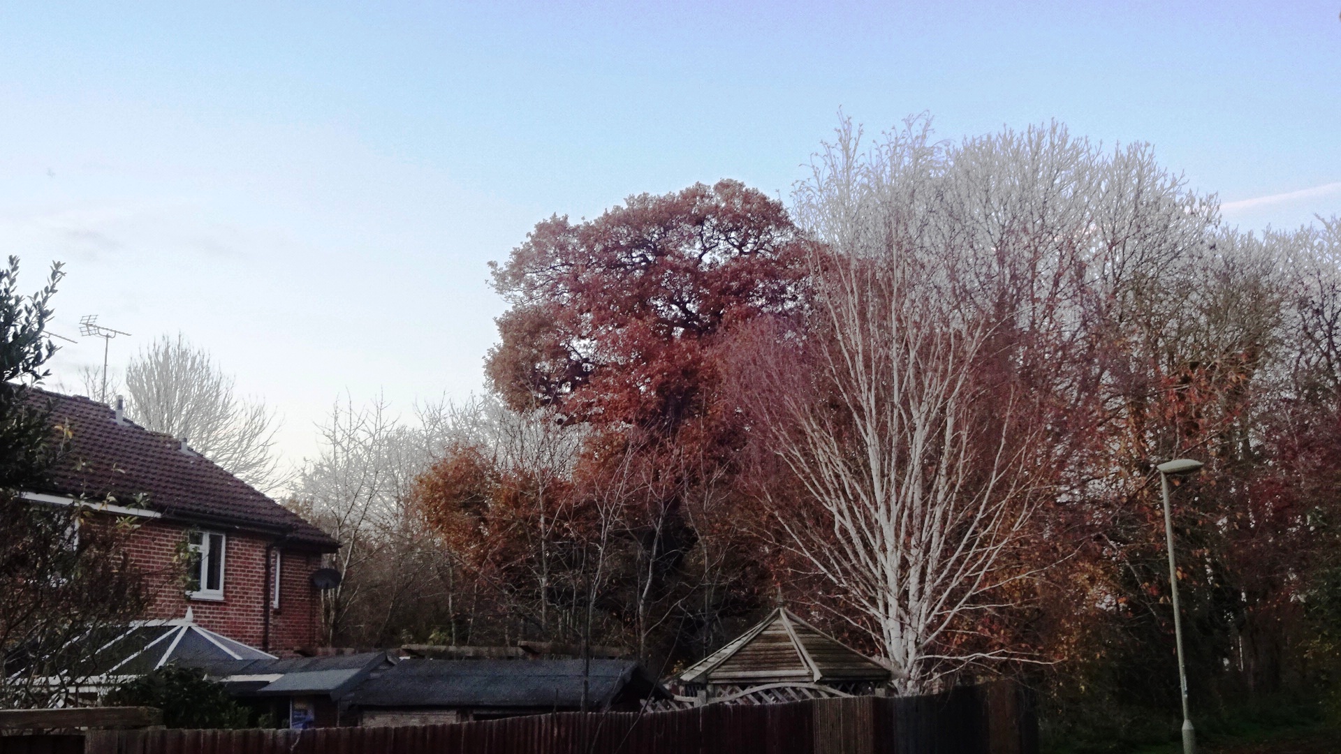
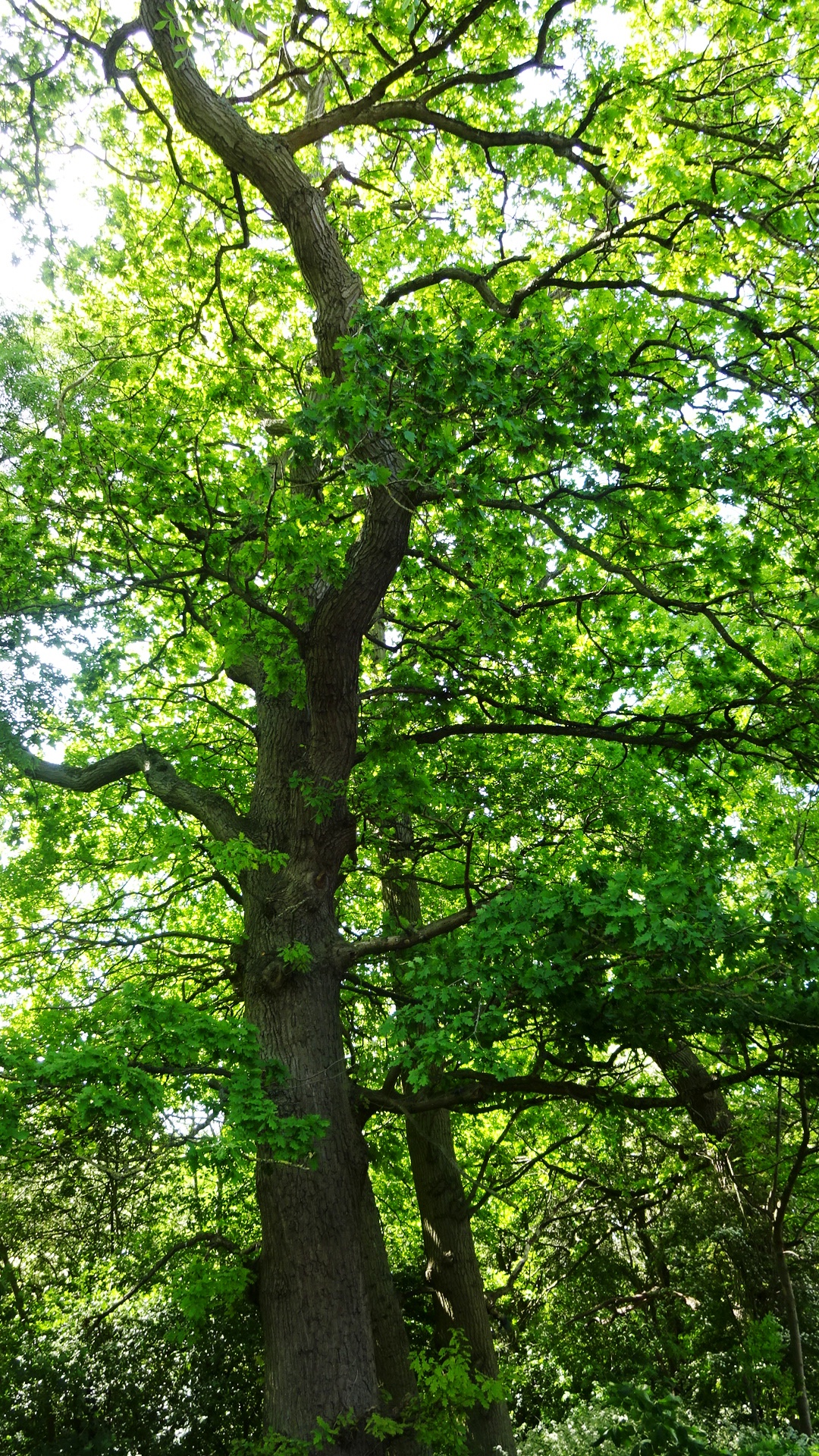
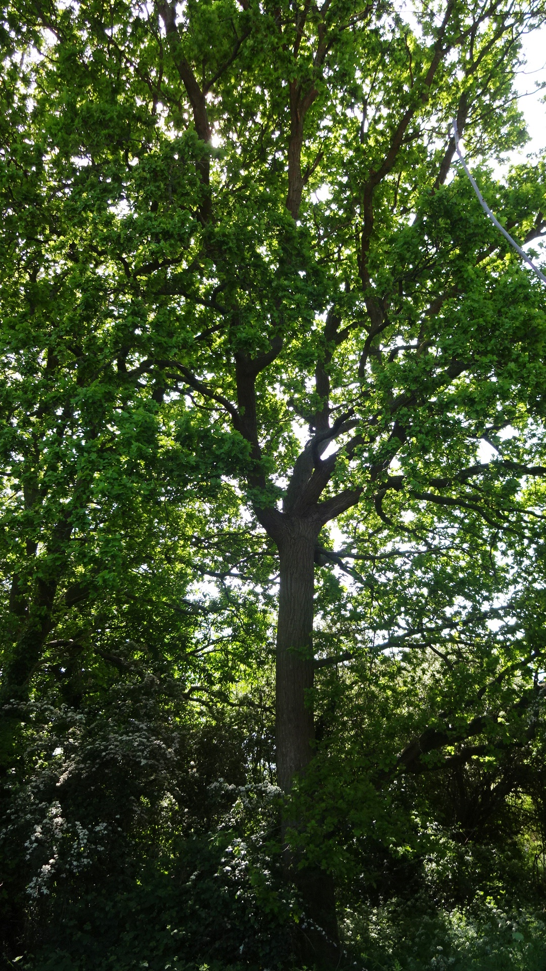
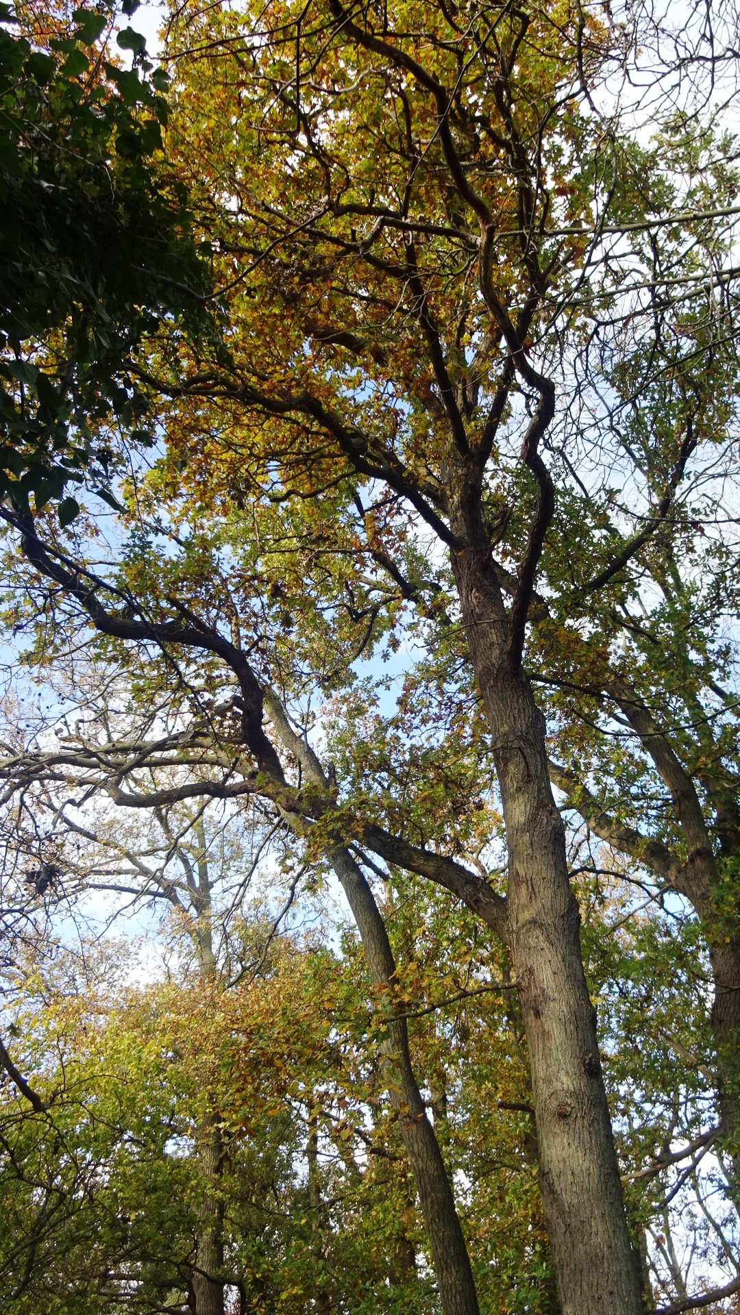
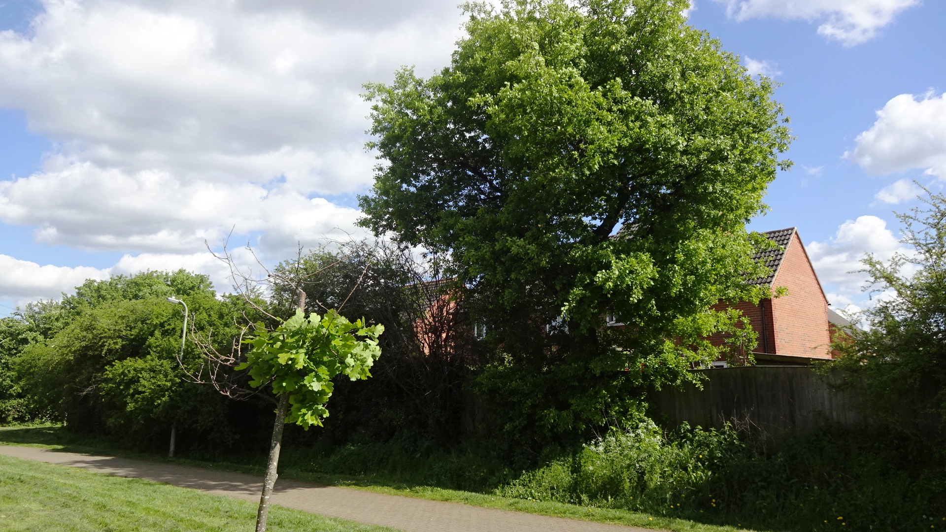
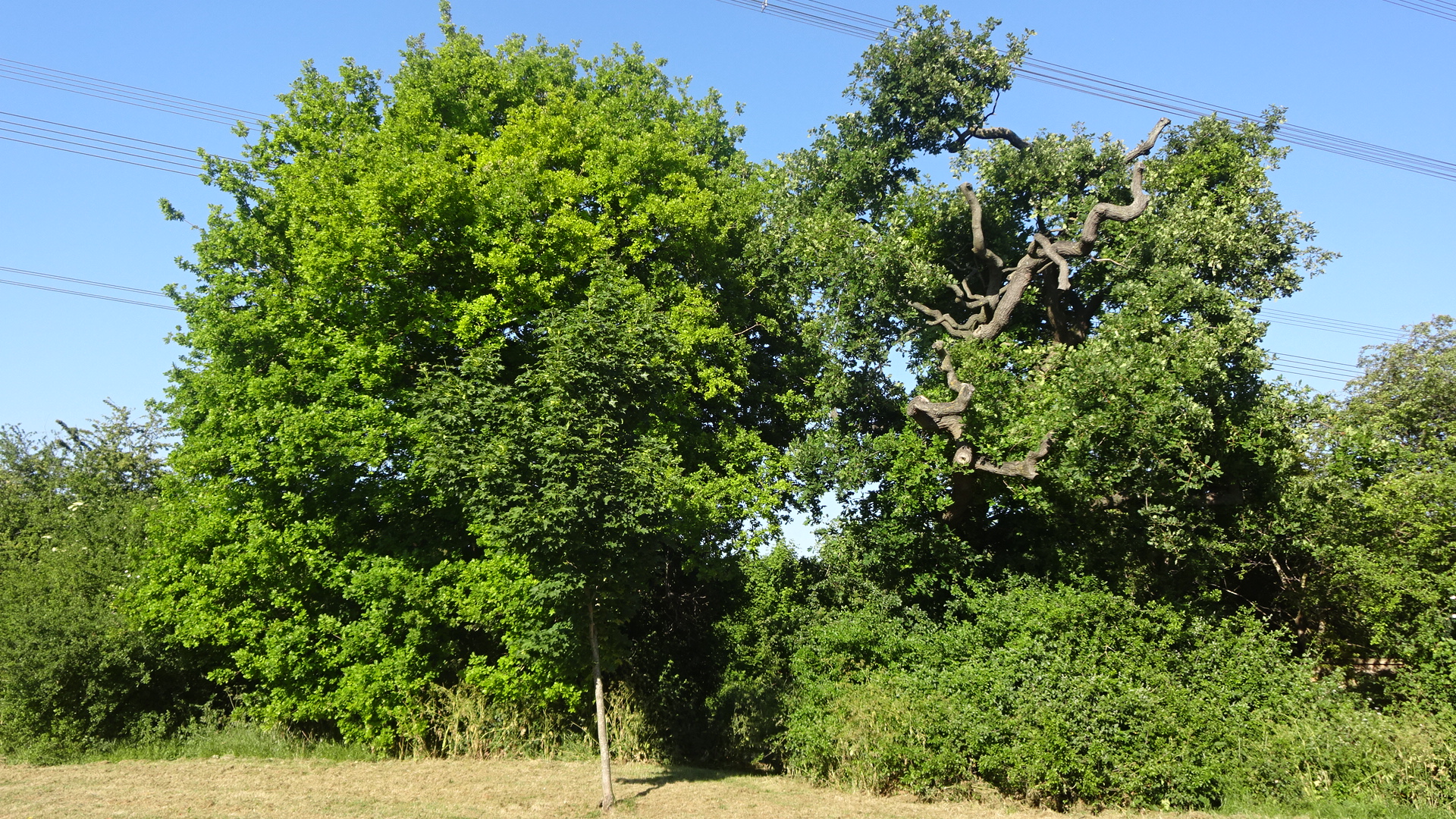
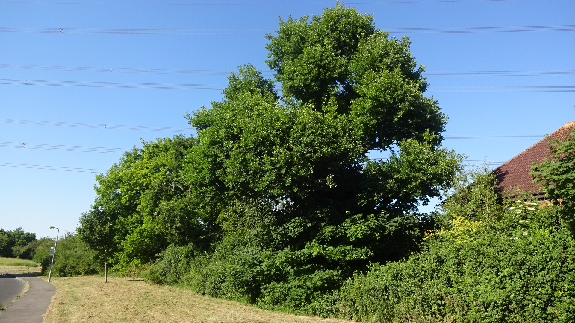
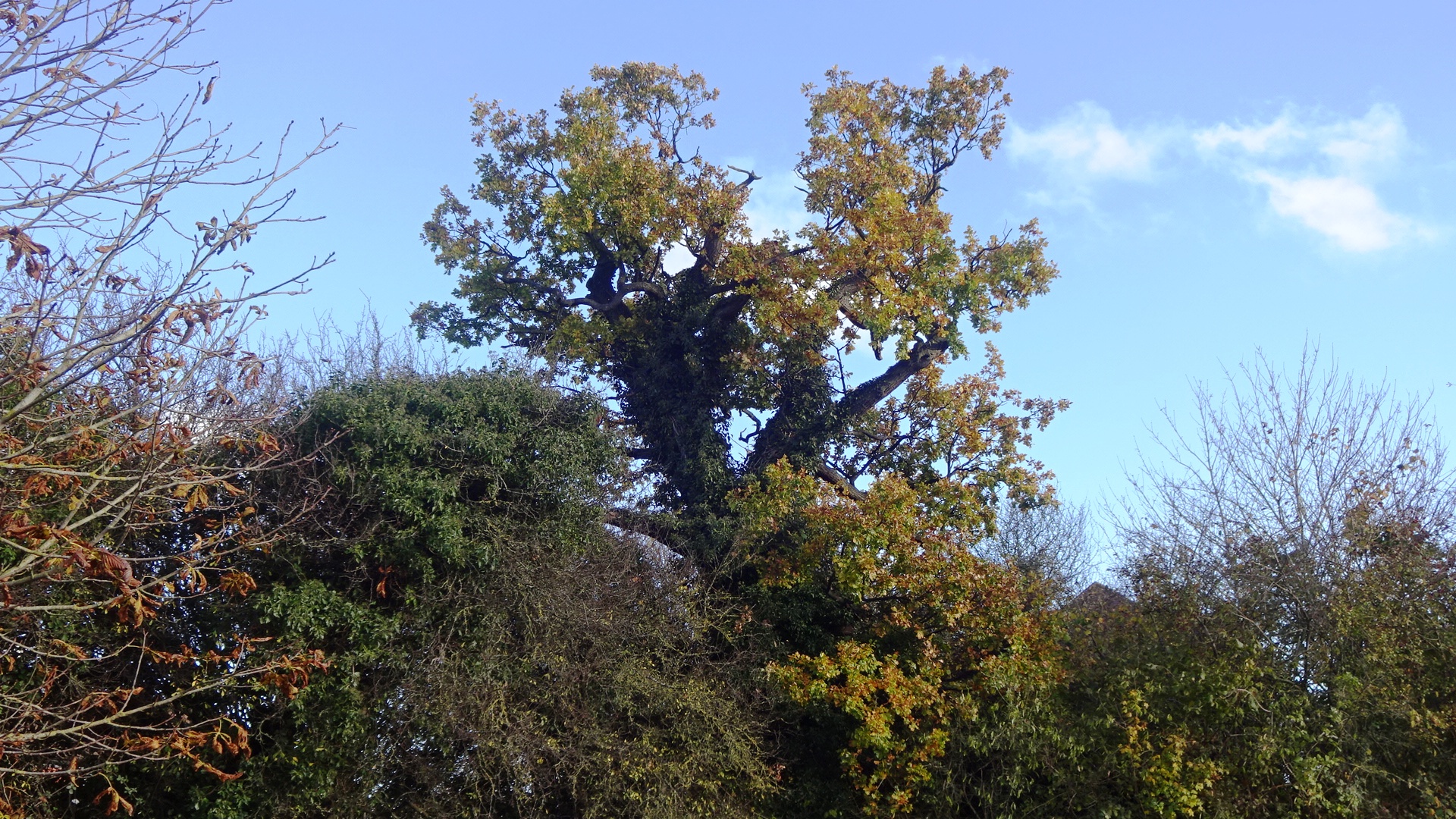
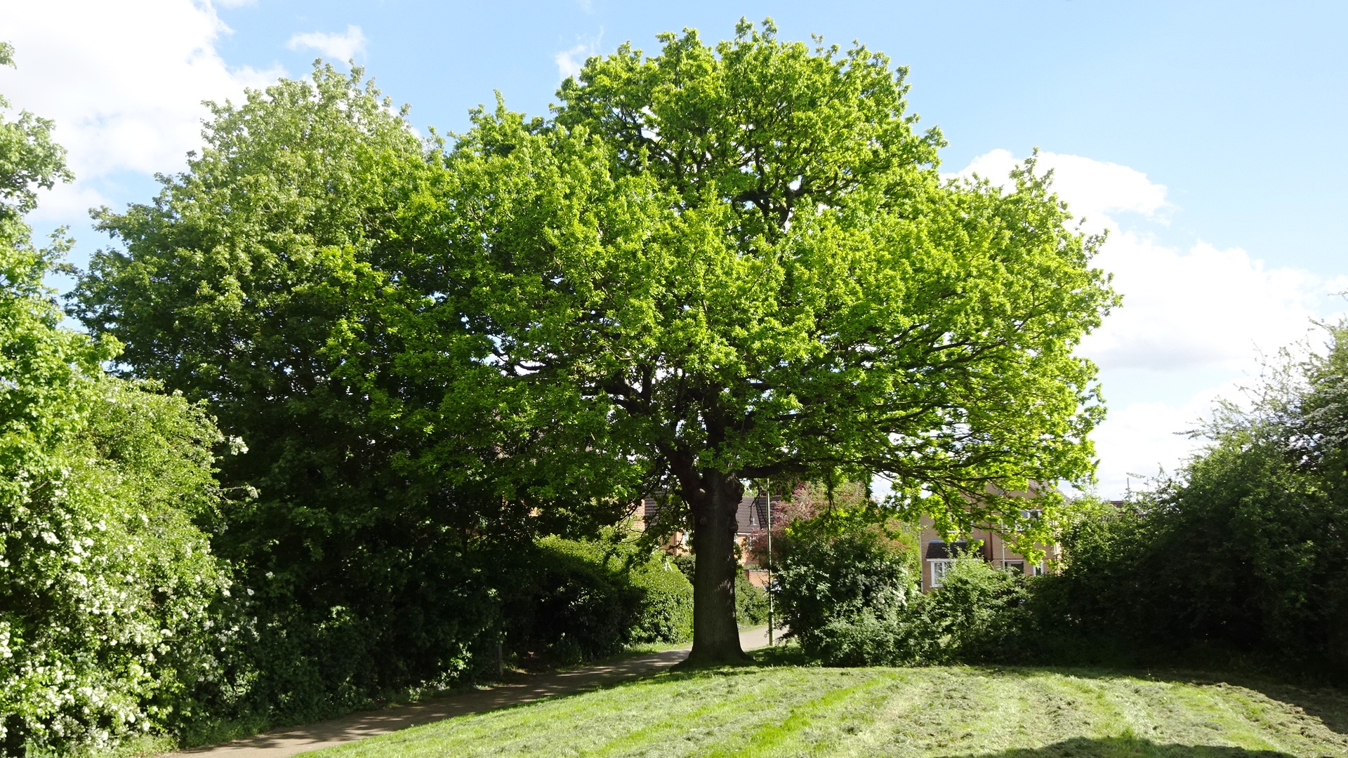
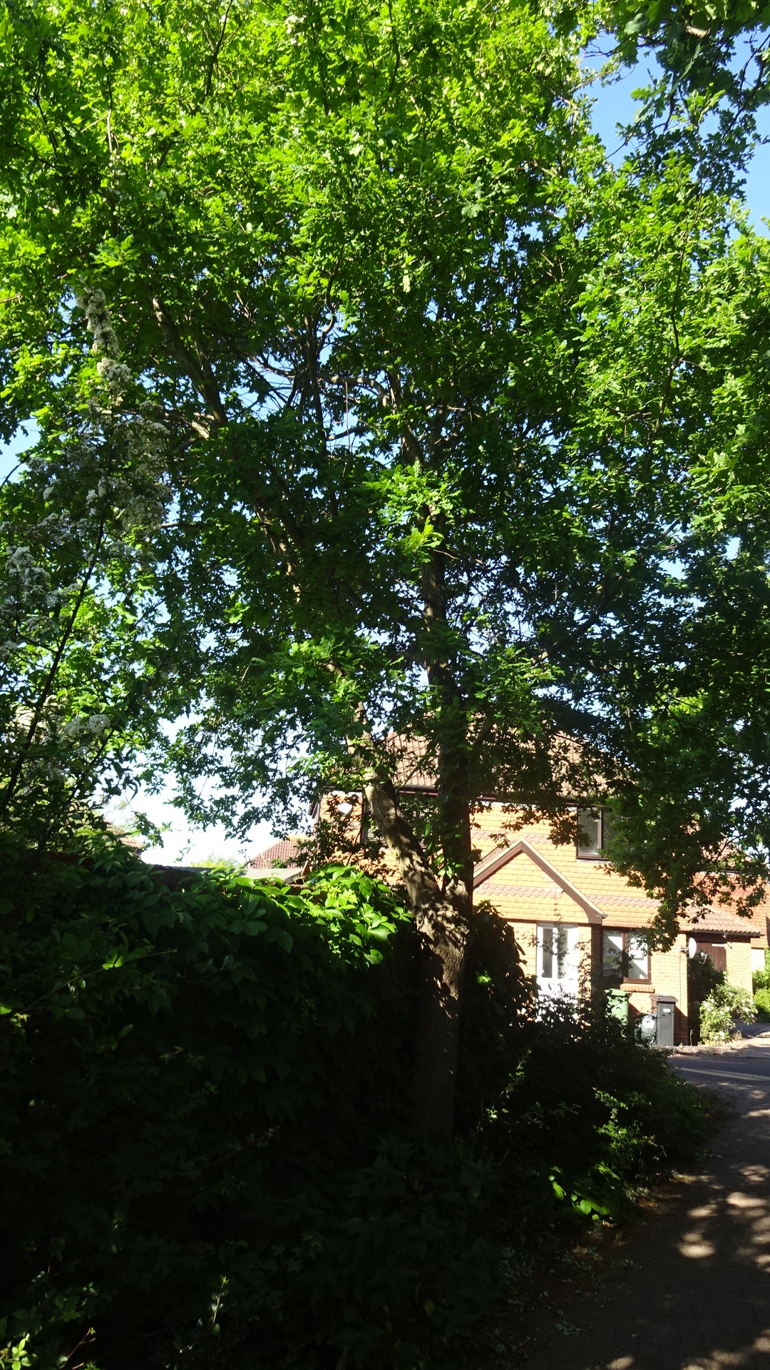
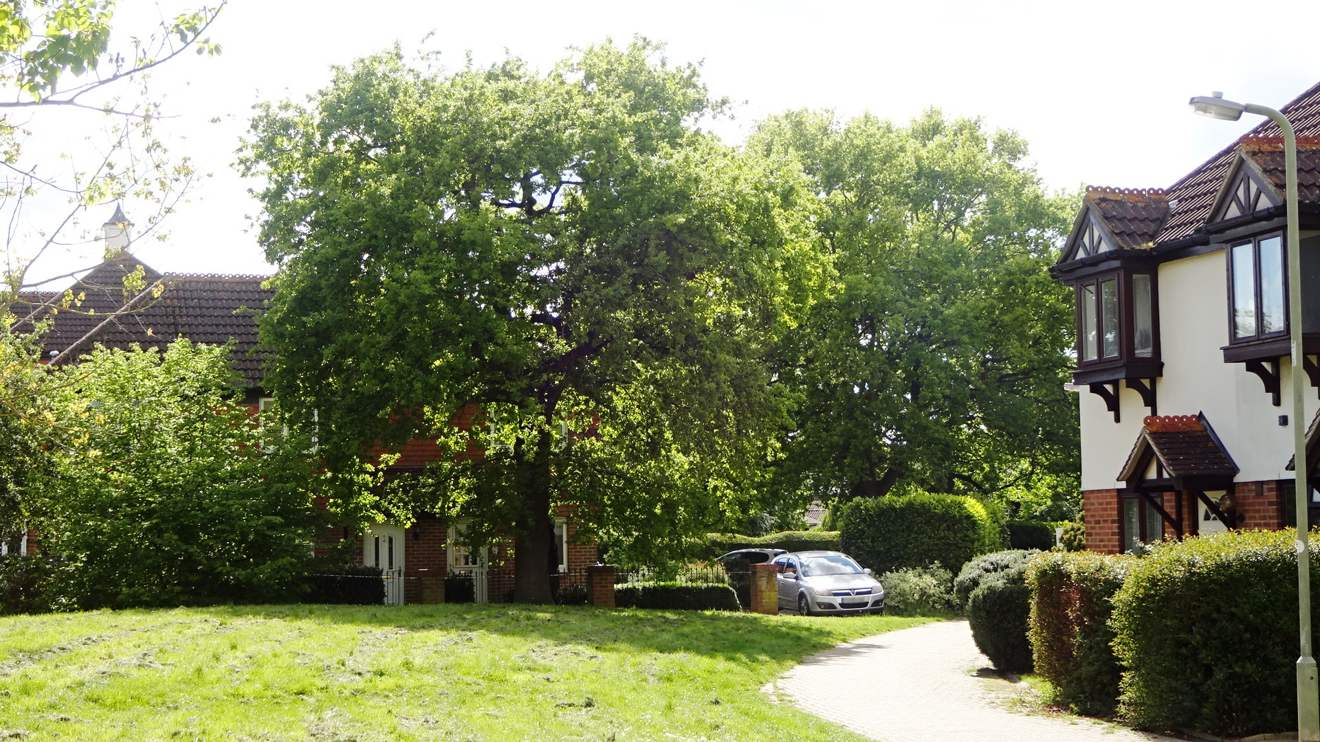
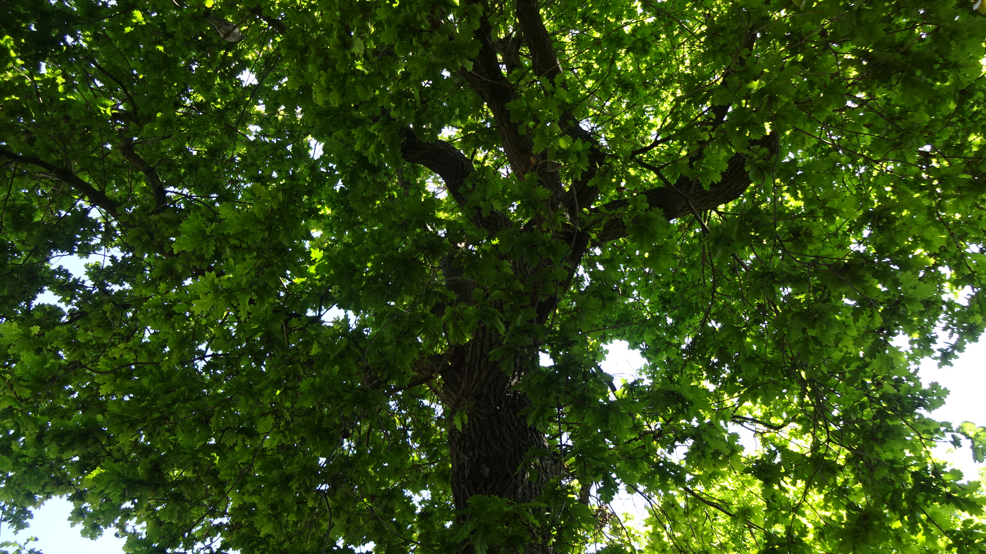
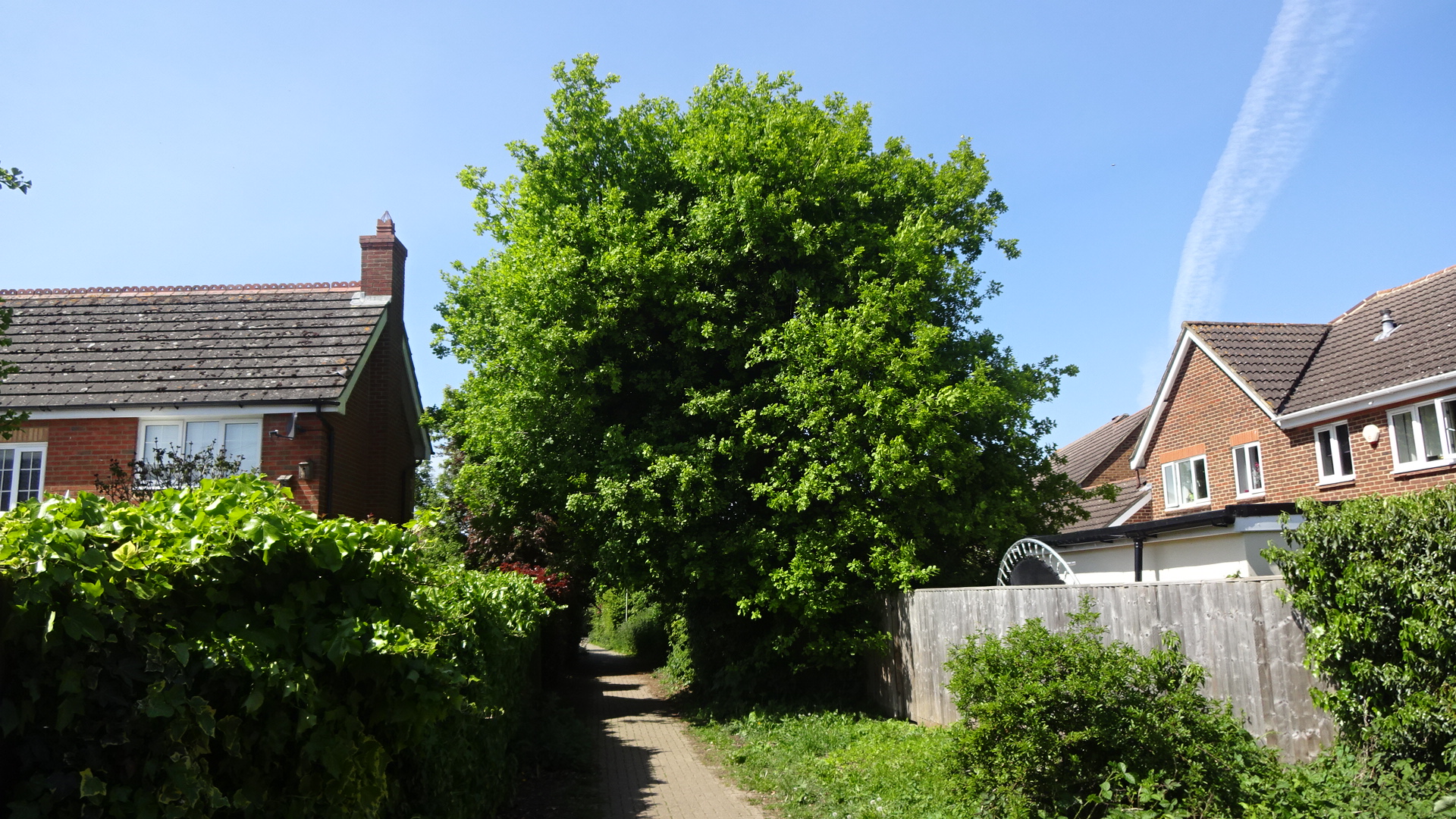
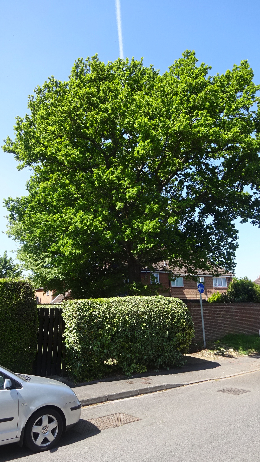
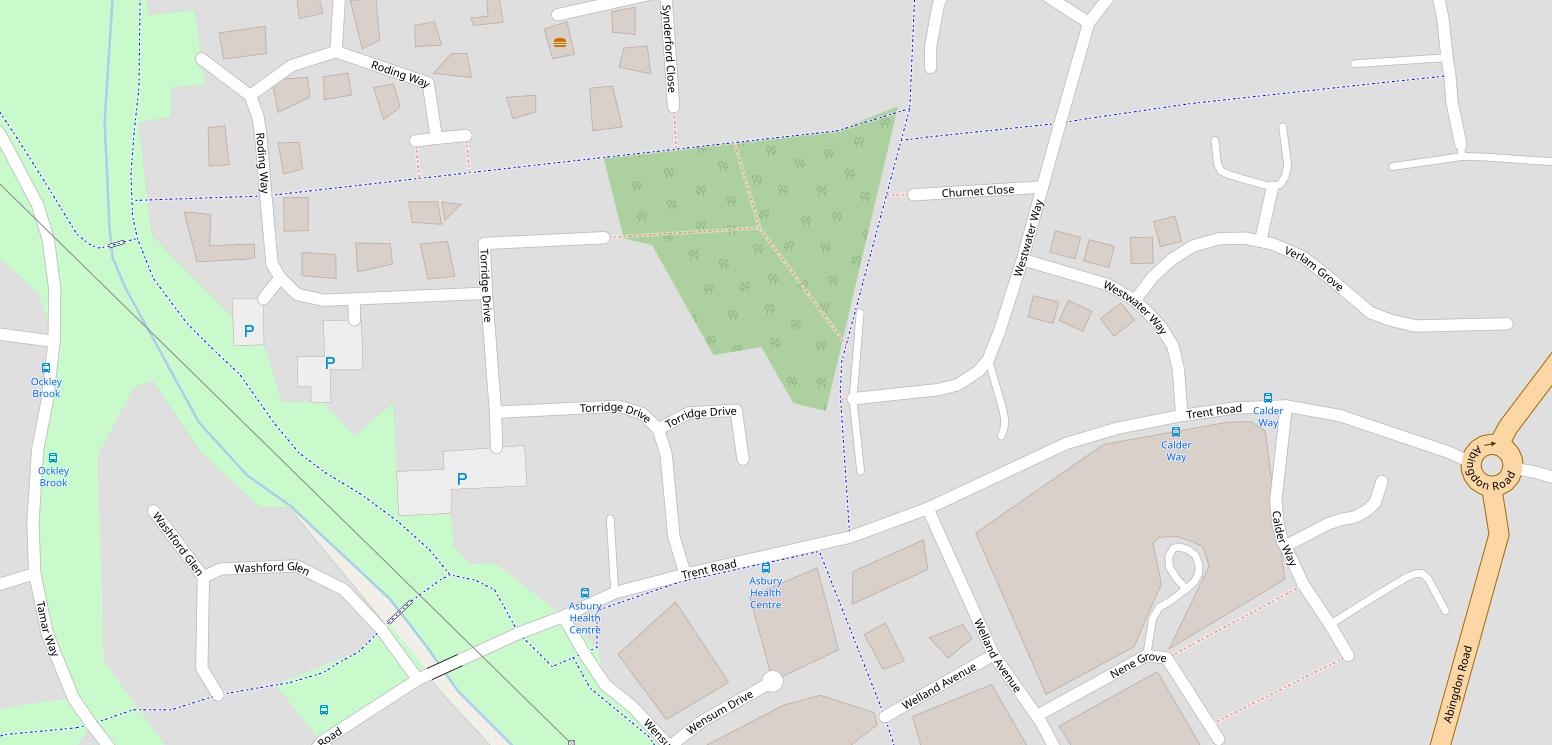
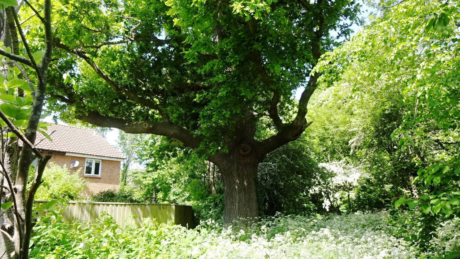
LADYGROVE WOOD – THE BOWER On some old maps of the area, long before the Ladygrove Park estate was built, there is a triangular wood named "The Bower". The wood has matured since then, and although there are few obvious paths, there are fine specimens of many tree species. Perhaps the most notable tree is at the south end, readily seen after walking down the footpath almost opposite the pillar box in Trent Road. Using the Woodland Trust's ready reckoner, this tree started growing around 1850 – more than 170 years old.
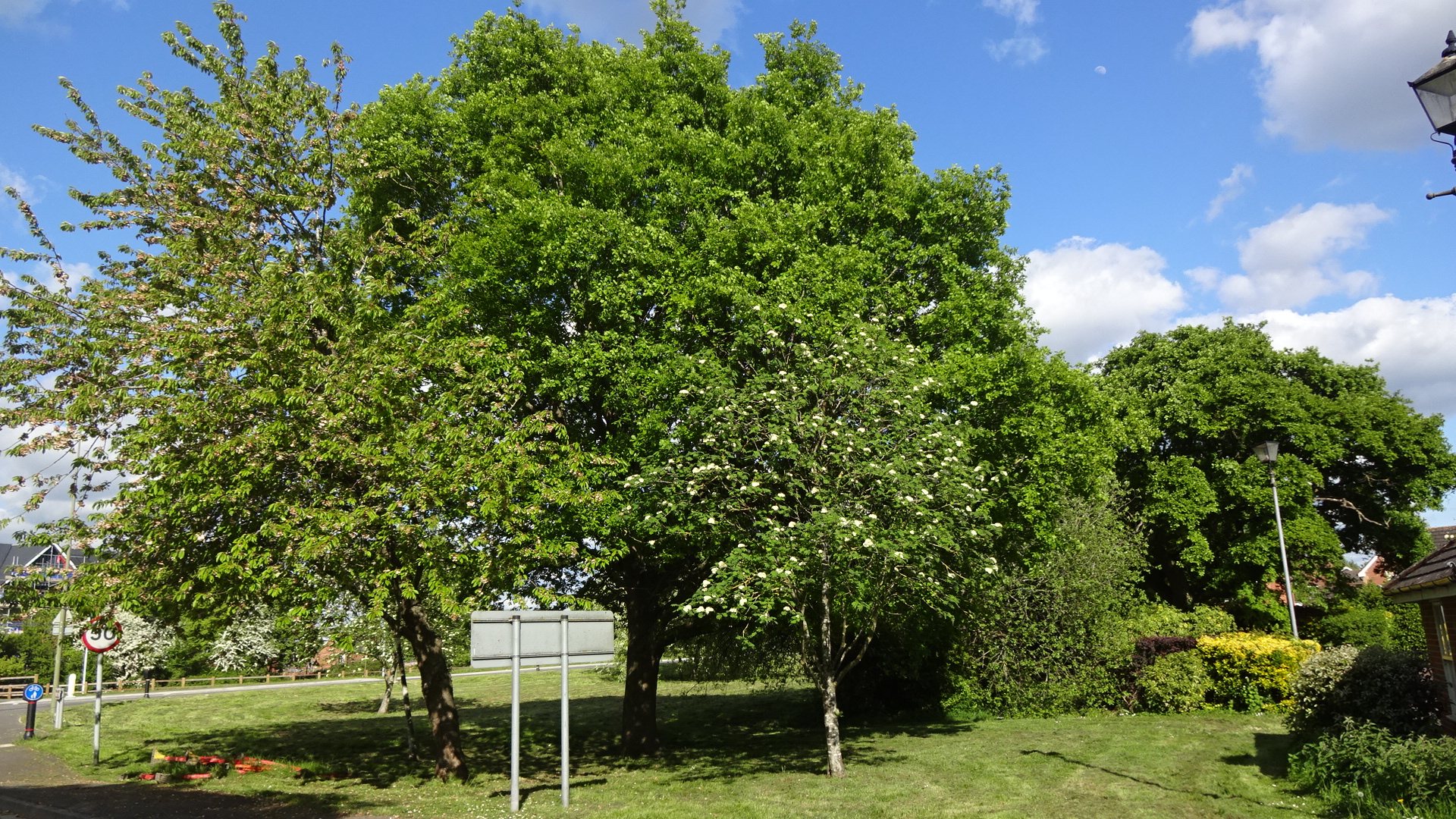
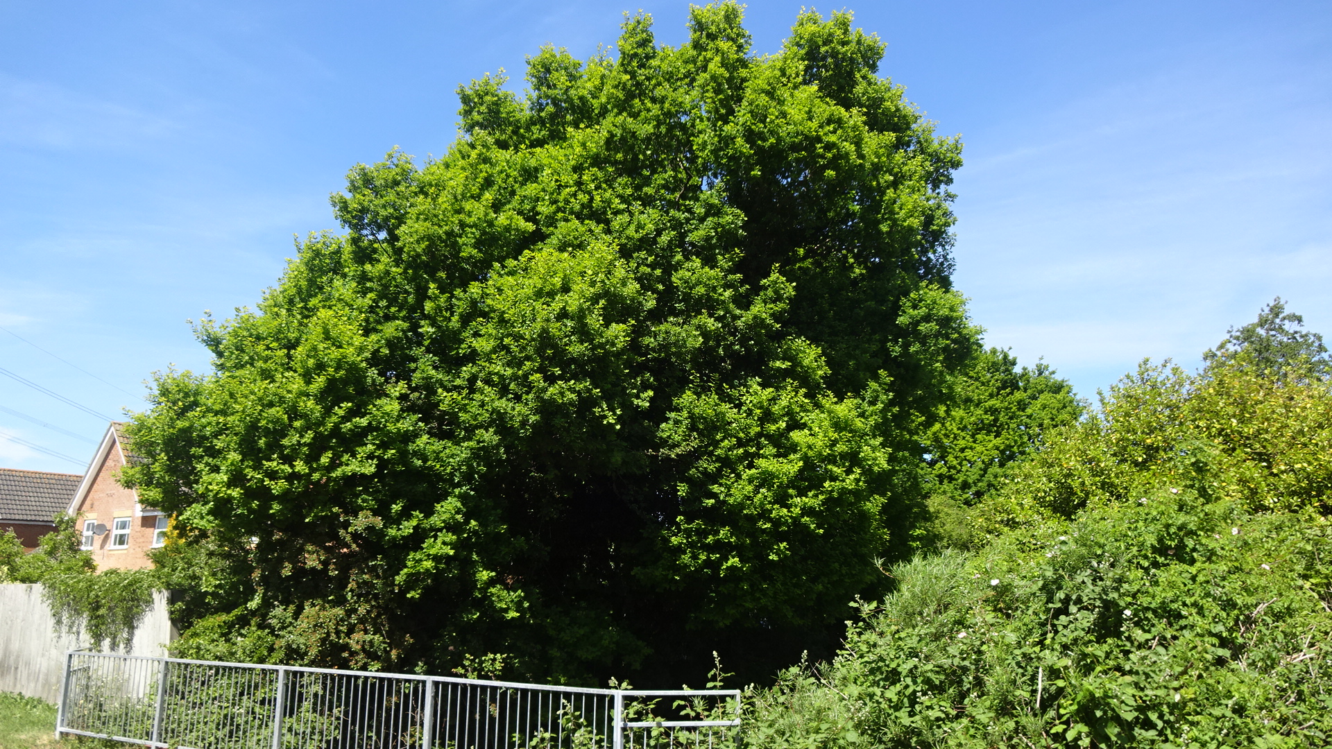
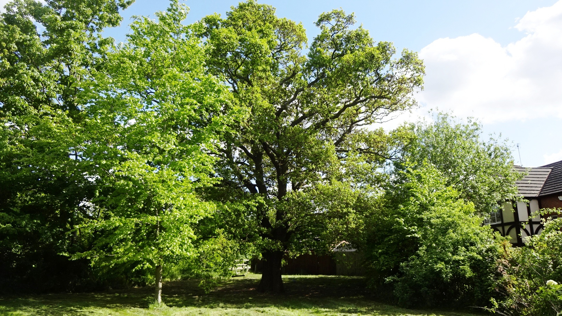
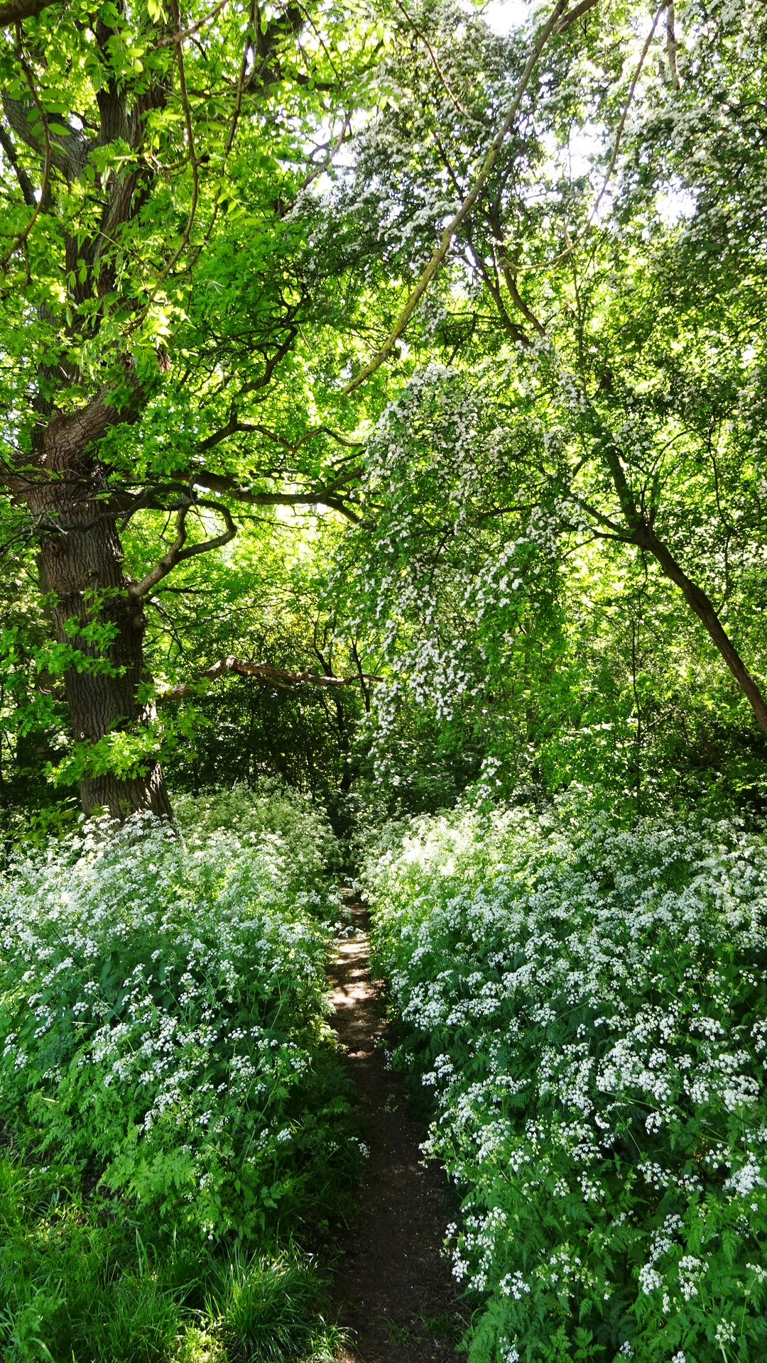
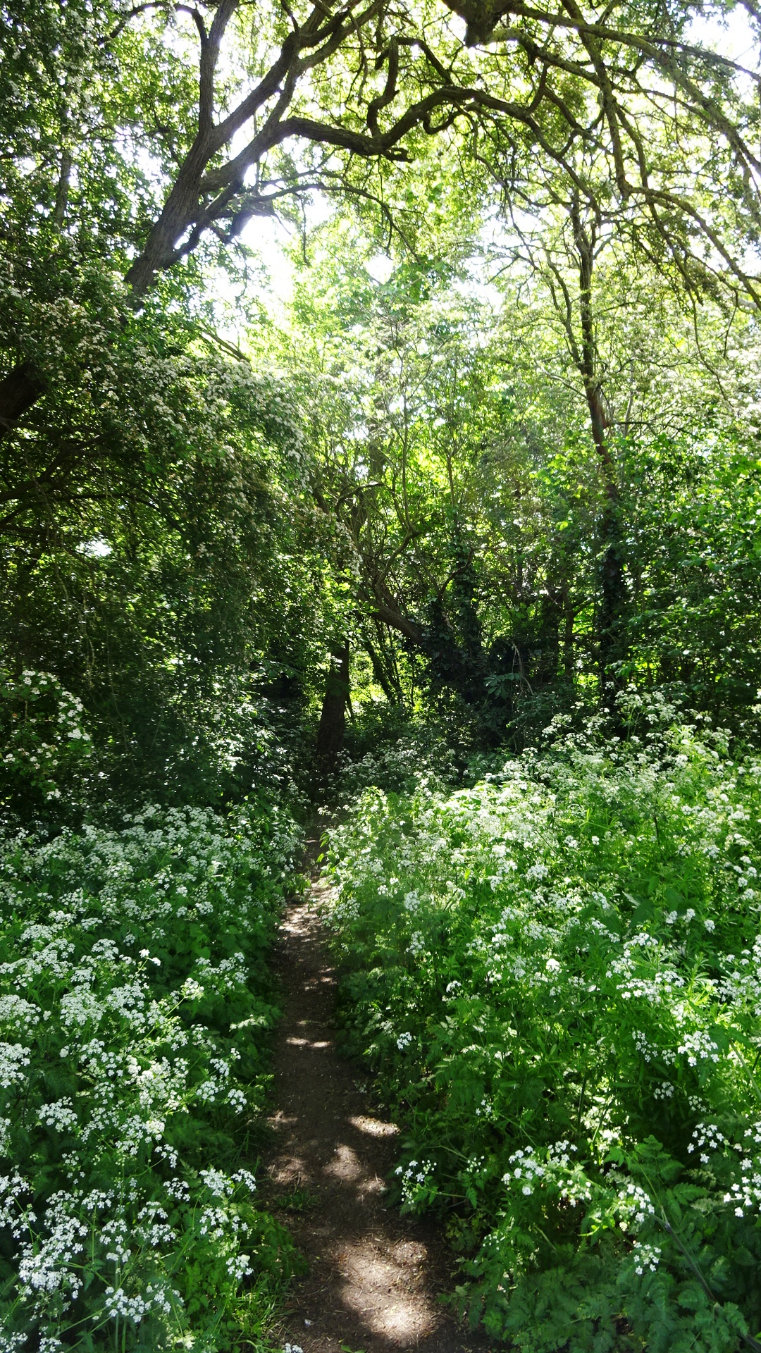
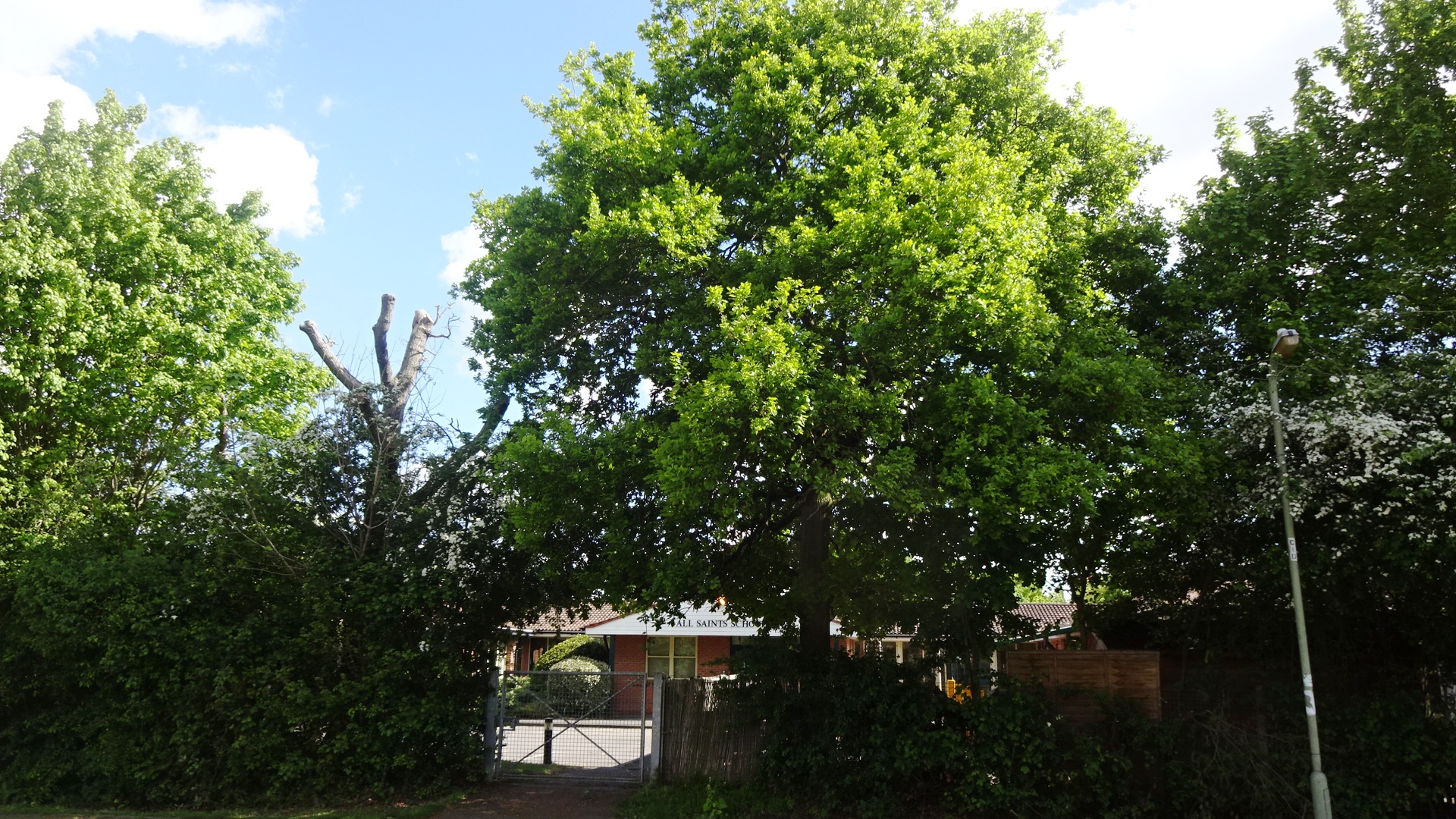
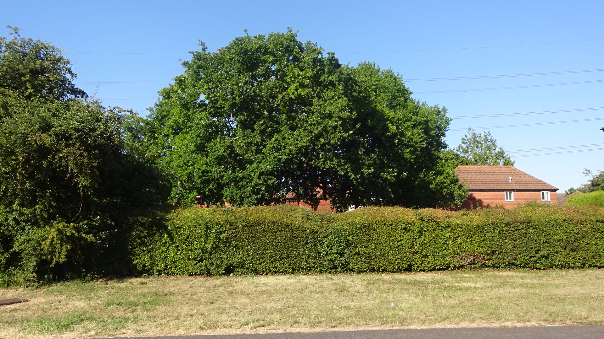
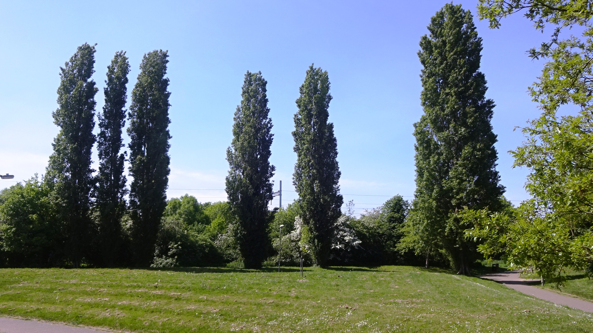
SOUTHERN South of the power lines and the brook, there are several groups of trees in Tamar Way, and in the east-west footpath that runs either side of Tamar Way and north of All Saints Primary School. In the south, near the railway, a stately row of poplars is easily reached via a number of footpaths.
TPO IN EASTERN LADYGROVE South Oxfordshire District Council has revoked the Tree Preservation Order 09S118 which covered the part of Ladygrove Park east of Mersey Way and south of Halse Water and the former Cow Lane. A Freedom of Information request sent to the council seeking the reason for this produced the following explanation:
"When any TPO is first served it is served as a temporary order for the first 6 months and only becomes a permanent order if it is confirmed before the 6 month deadline. In September 2020 it became clear that the council had no legal document to prove TPO 09S118 had been confirmed. We have reason to believe TPO 09S118 was confirmed, however the copy of the legal confirmation document was destroyed in the fire at the council's offices in 2015 and without a confirmed order the TPO ceases to be legally enforceable. This issue was discovered as a result of an investigation by the Forestry Team who took immediate action to remove the order from the council's interactive map on our website, which is why the order is no longer shown."
"As the majority of the trees covered by 09S118 are now on land owned by the council (the land was transferred to the council following the completion of the Ladygrove development), the ongoing management of the trees is therefore the council's responsibility. The Parks team who manage our trees follow professional industry standards striving to manage the trees for the benefit of residents as well as addressing our duty of care as landowner. Considering this, it would no longer be expedient to seek to protect the majority of the trees covered by the original order. However, as part of our ongoing review process we will be assessing the small number of privately owned trees which were covered by the original order to determine if it is expedient to serve a new order."
Click / tap photos to enlarge / close
Click / tap to go to a map for each tree:
Public access Private / inaccessible
Ladygrove north of the power lines and brook
Accessible from footpath N of Trent Road
Ladygrove south of the power lines and brook