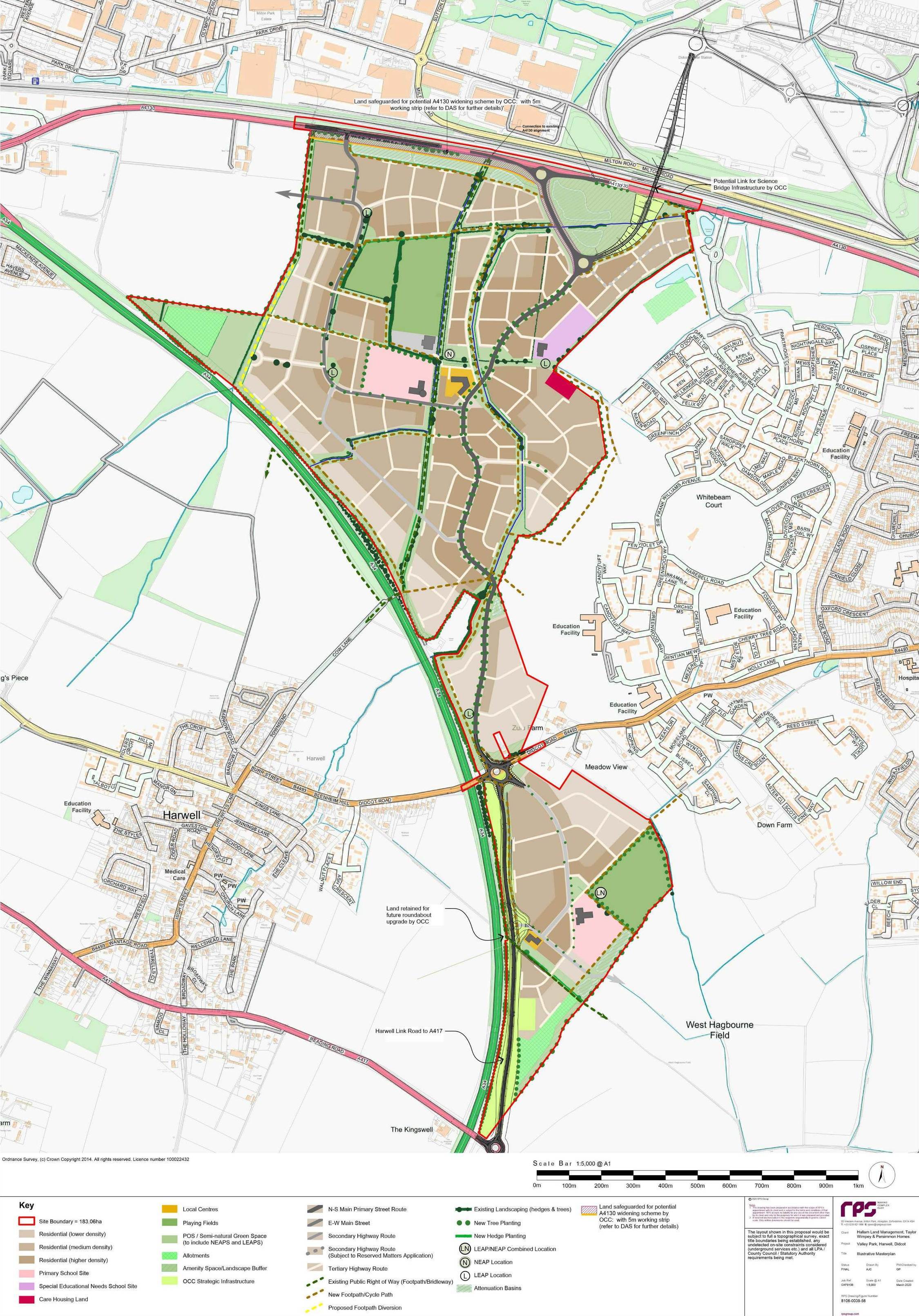
Valley Park north and south of Didcot Road
Didcot is one of Oxfordshire's designated growth towns. Valley Park is a proposed westward extension of Didcot with the A4130 at its northern boundary and the majority of its construction in open farmland to the north of the Didcot Road, with a smaller part south of the Didcot Road. (Although most of Didcot is in South Oxfordshire district, Valley Park is in the Harwell parish of Vale of White Horse district.) As described in Planning Application P14/V2873/O, approved on 28 July 2021, Valley Park is to be "a residential development of up to 4,254 dwellings, mixed use local centres, primary schools, sports pitches, community and leisure facilities, special needs school, open space and extensive green infrastructure, hard and soft landscaping, attenuation areas [temporarily storing storm water], diversions to public rights of way, pedestrian and vehicular access and associated works".
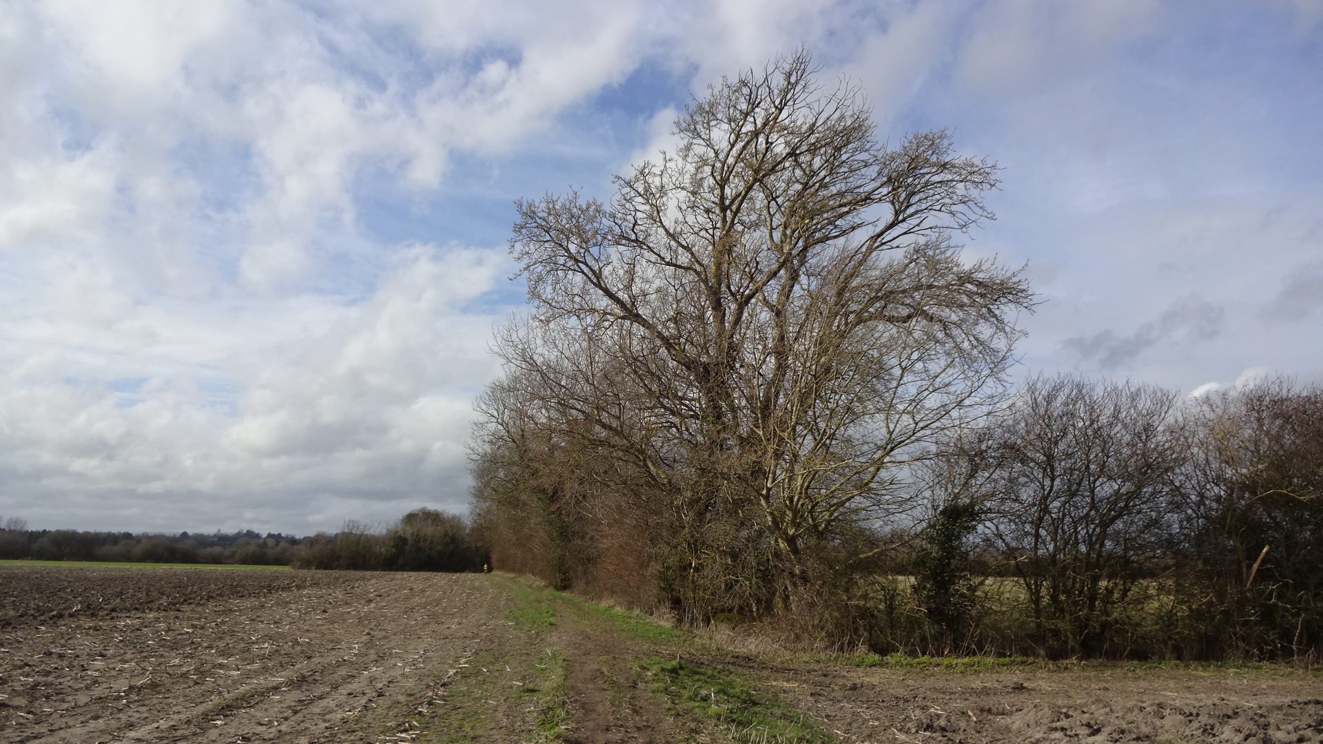
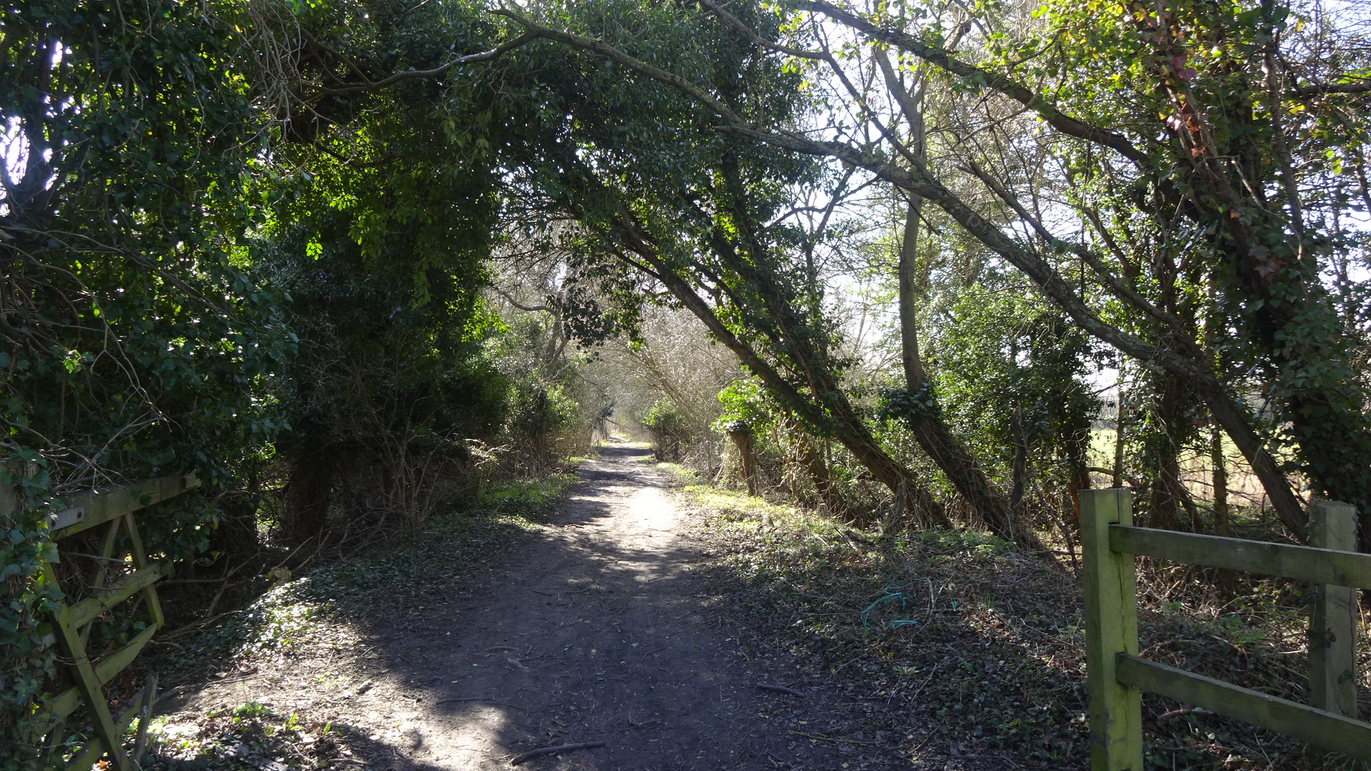
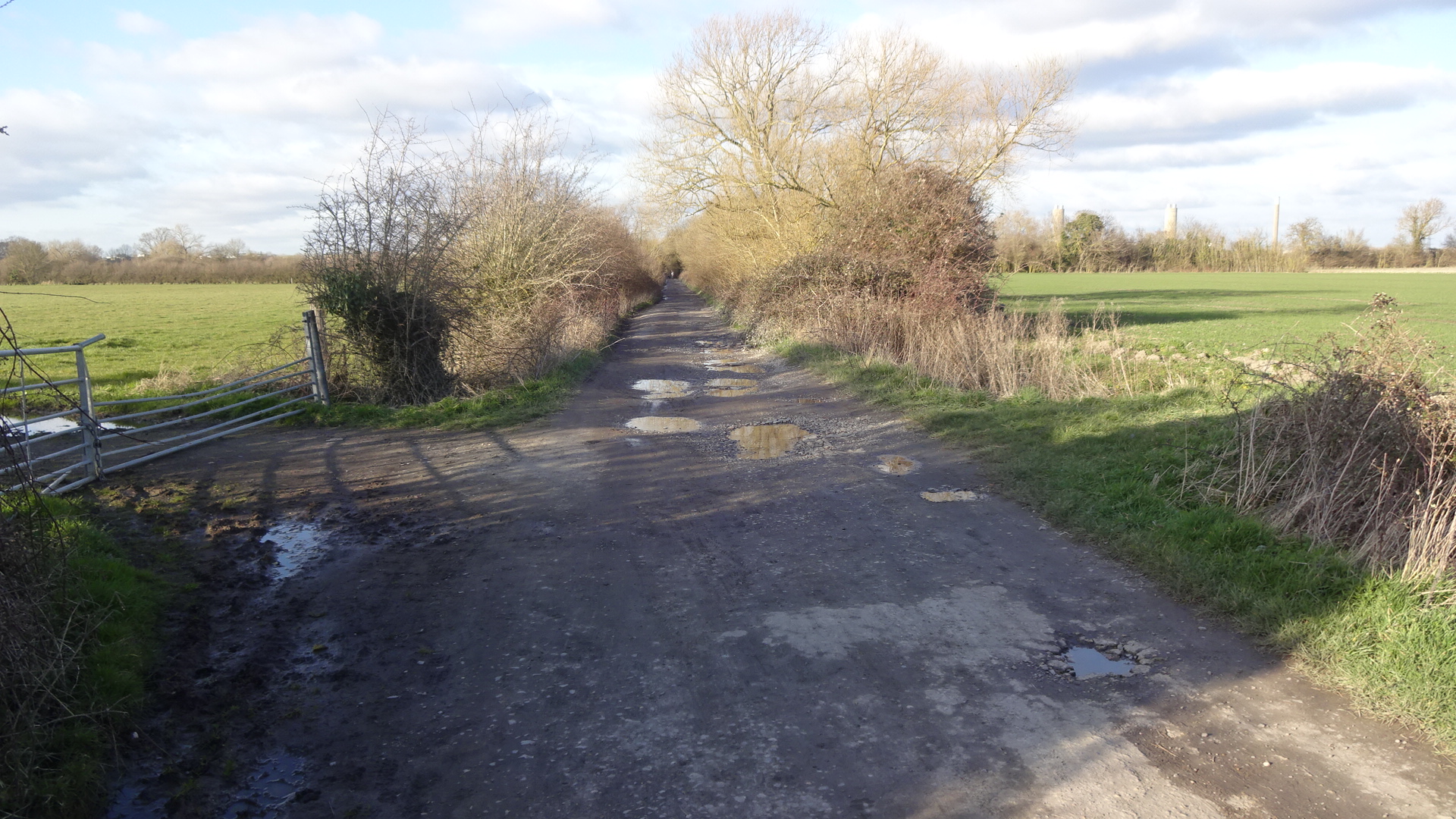
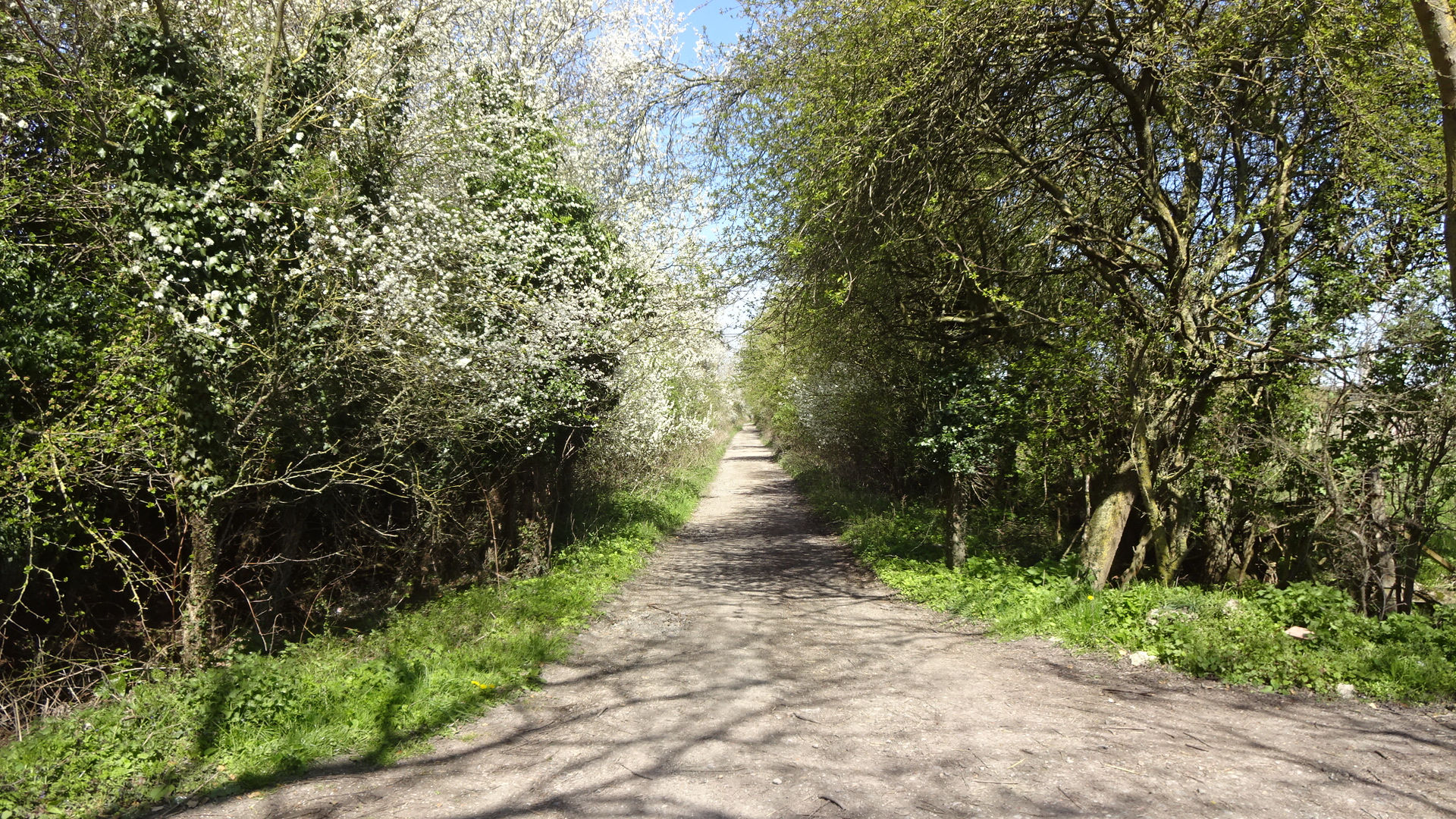
NORTH The northern section of Valley Park can be accessed from Harwell via Cow Lane (Oxfordshire footpath 243/1). This continues all the way to the A4130, giving an alternative access from the north. There is also footpath access to Cow Lane from Great Western Park via footpaths 243/23 and 243/25 which start to the north-west of Boundary Park, near the western end of Raven Road. Note that there is no permitted access to any farmland except on footpaths – posted notices by the landowner remind visitors to keep out of particular fields.
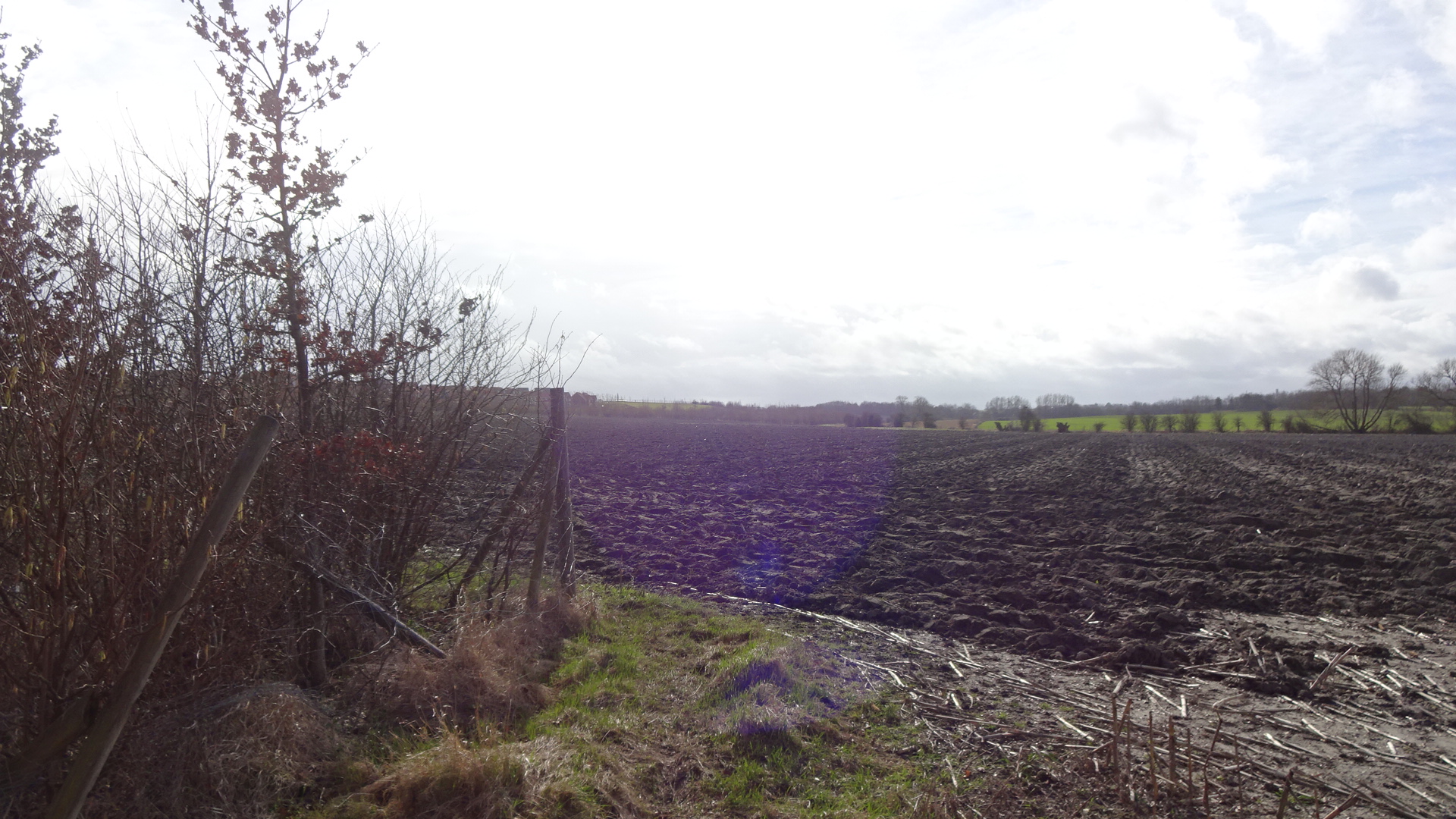
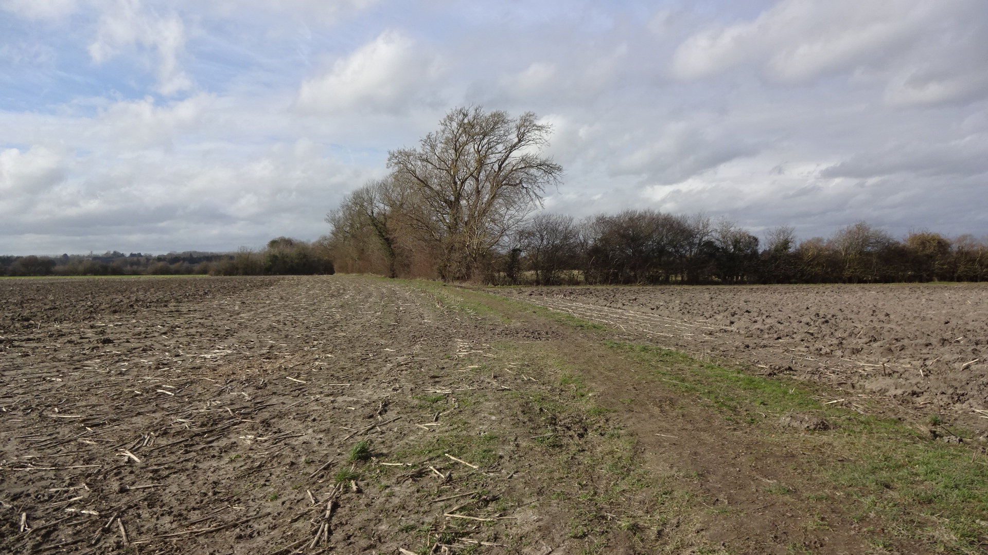
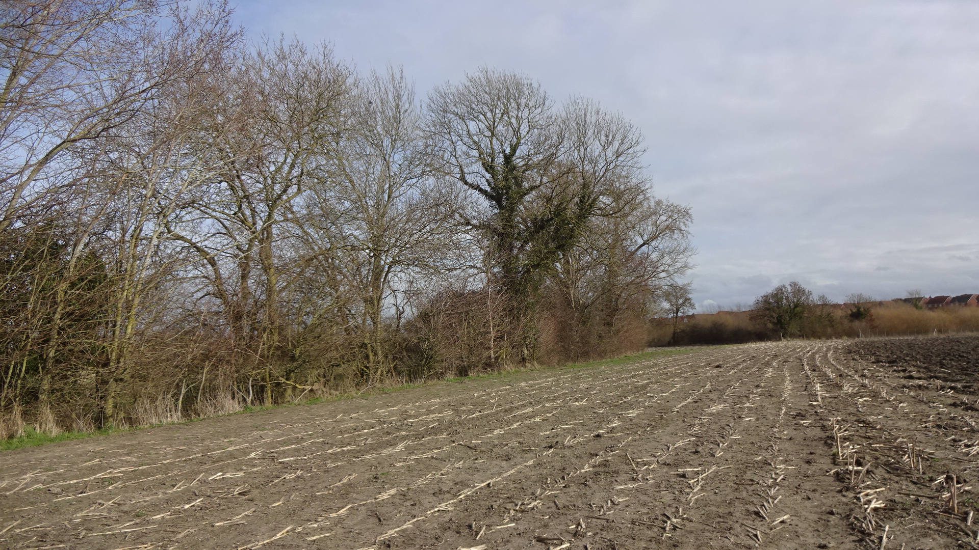
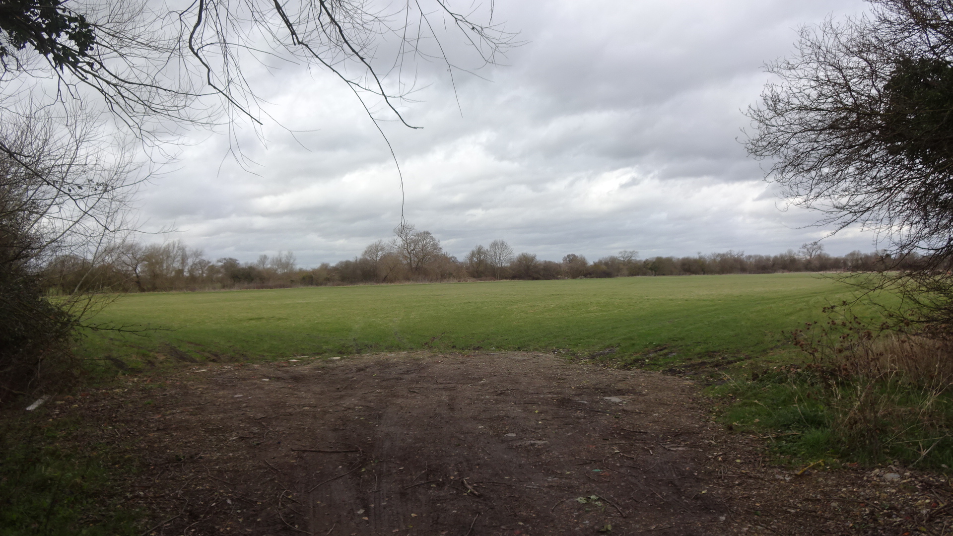
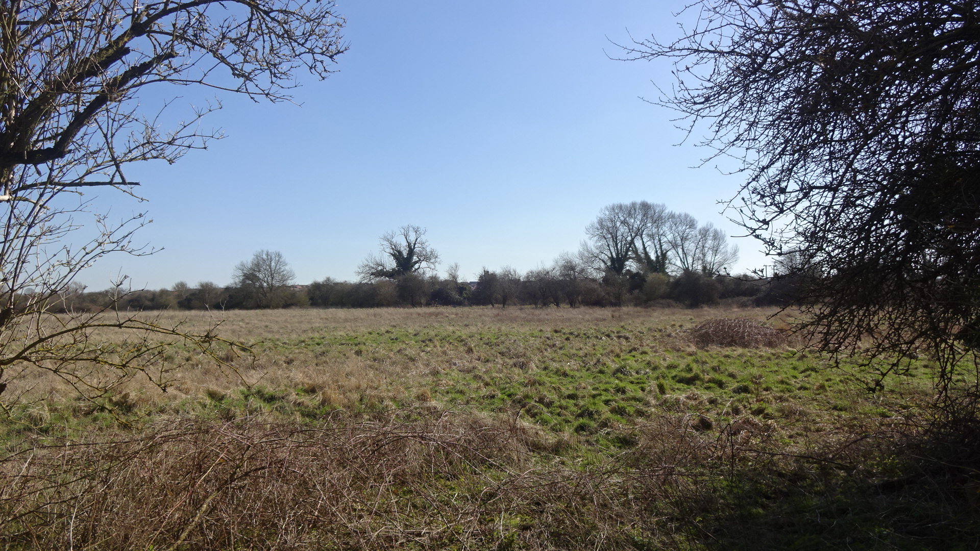
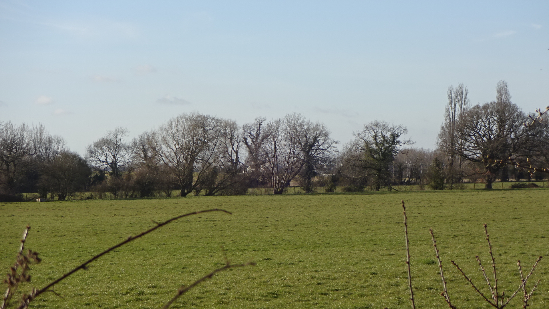
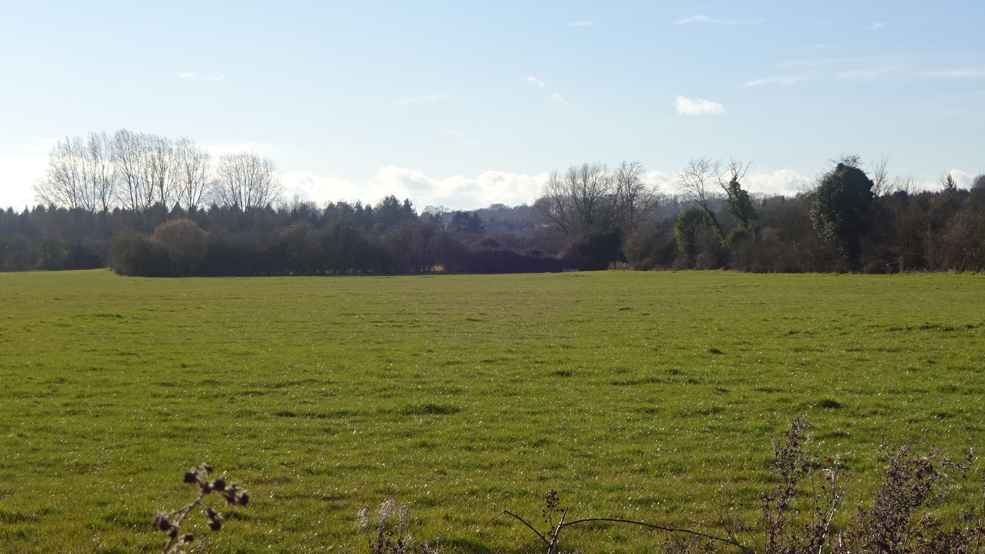
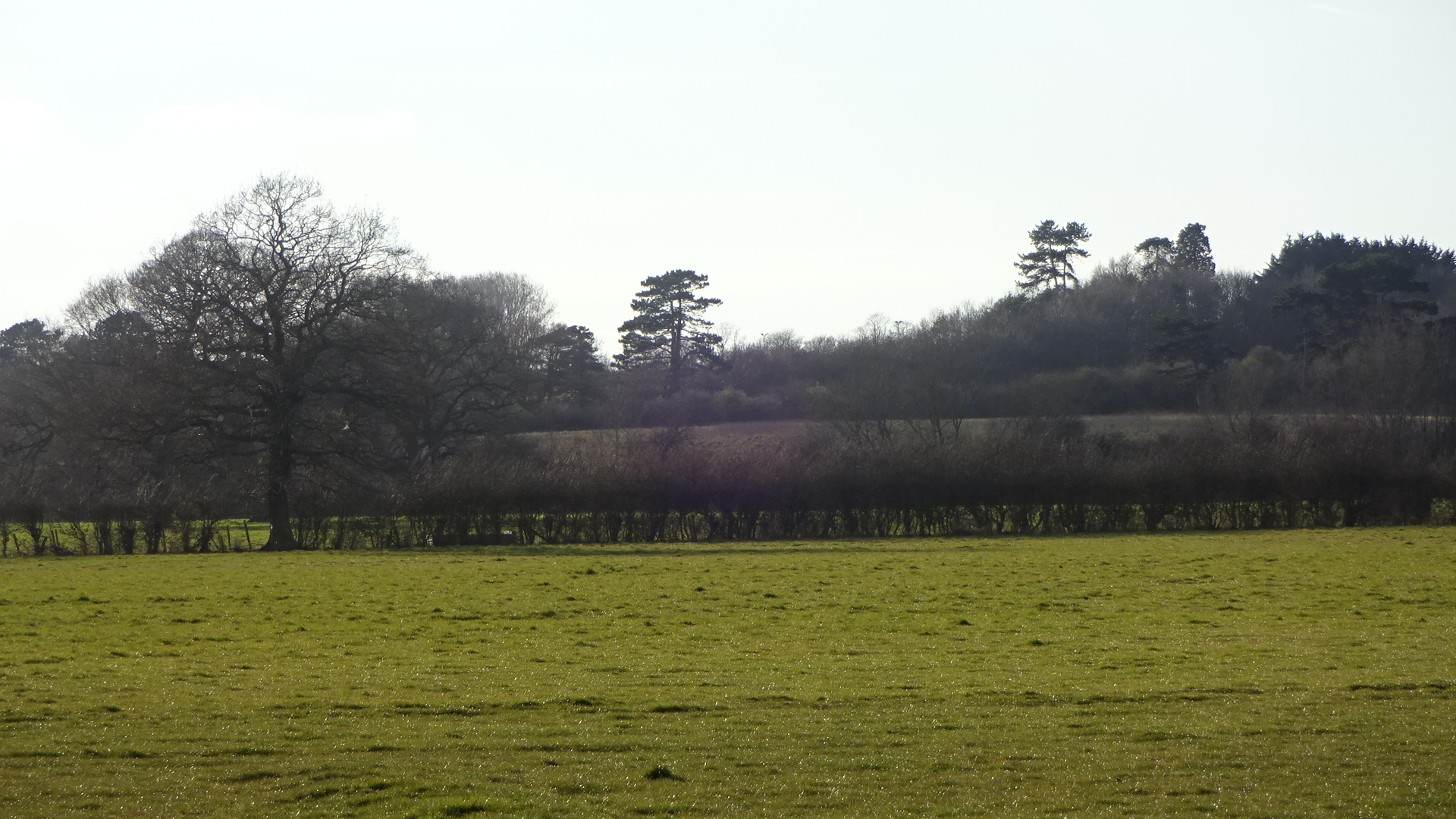
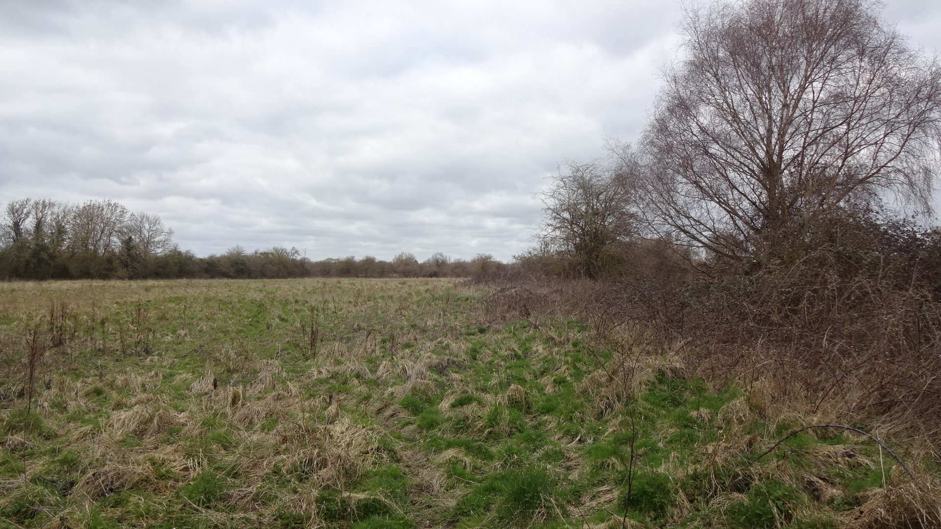
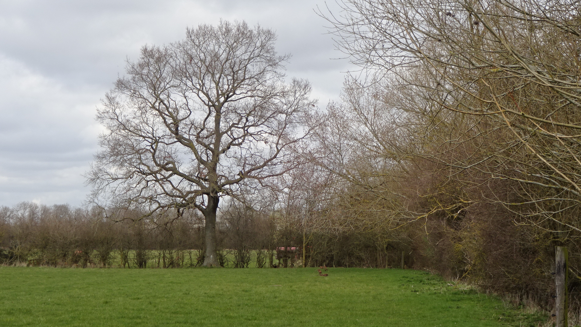
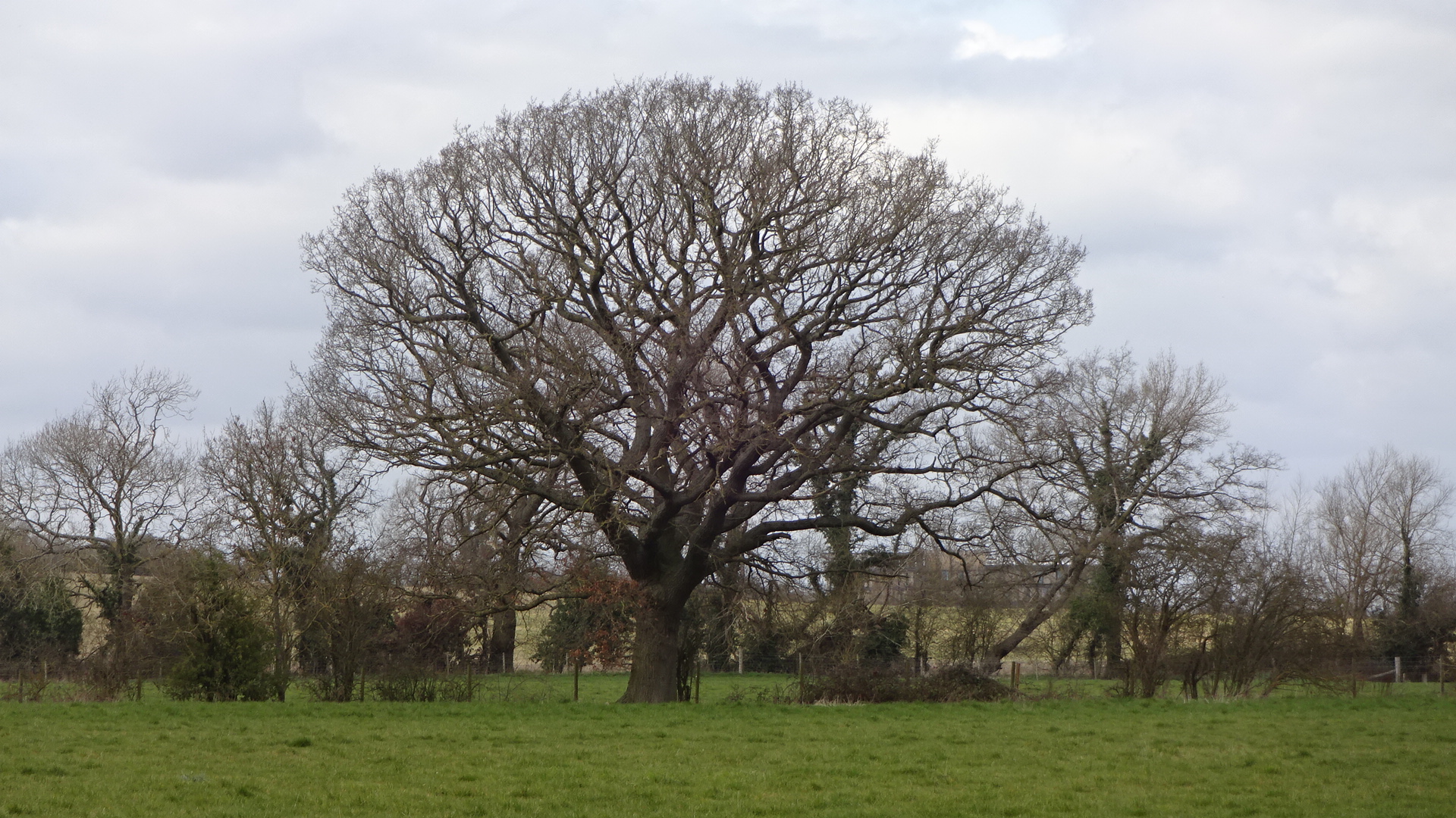
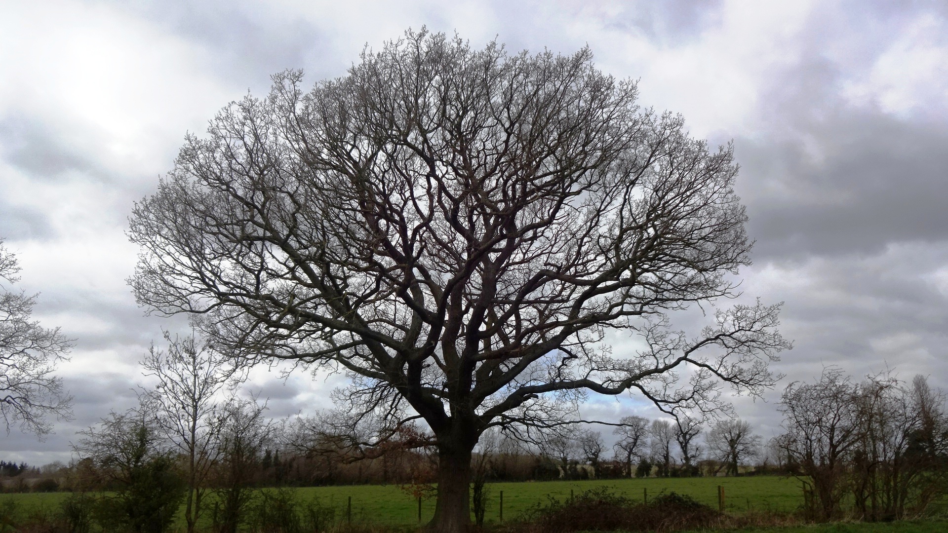
NORTH (WESTERN FIELDS) There is another footpath (Oxfordshire 243/3) that can be accessed from the A4130 just east of New Farm, however some locations where there should be stiles are almost impassable over barbed wire fences. This footpath used to go to Harwell via Barrow Road, but although the Harwell end of the footpath 243/3 is still in place, the complete route between the A4130 and Harwell is severed by the A34. This northern section of (what remains of) the footpath gives access to fields which are proposed to form the main part of Valley Park's northern neighbourhood. Noticing that the fields were in use by others including dog walkers, and not seeing any prohibition notices, the following photos will form a lasting record of what the Valley Park area was like before development into homes where approximately 10,000 people will live. The timeless agricultural landscapes dotted with mature oak trees will never be the same again.
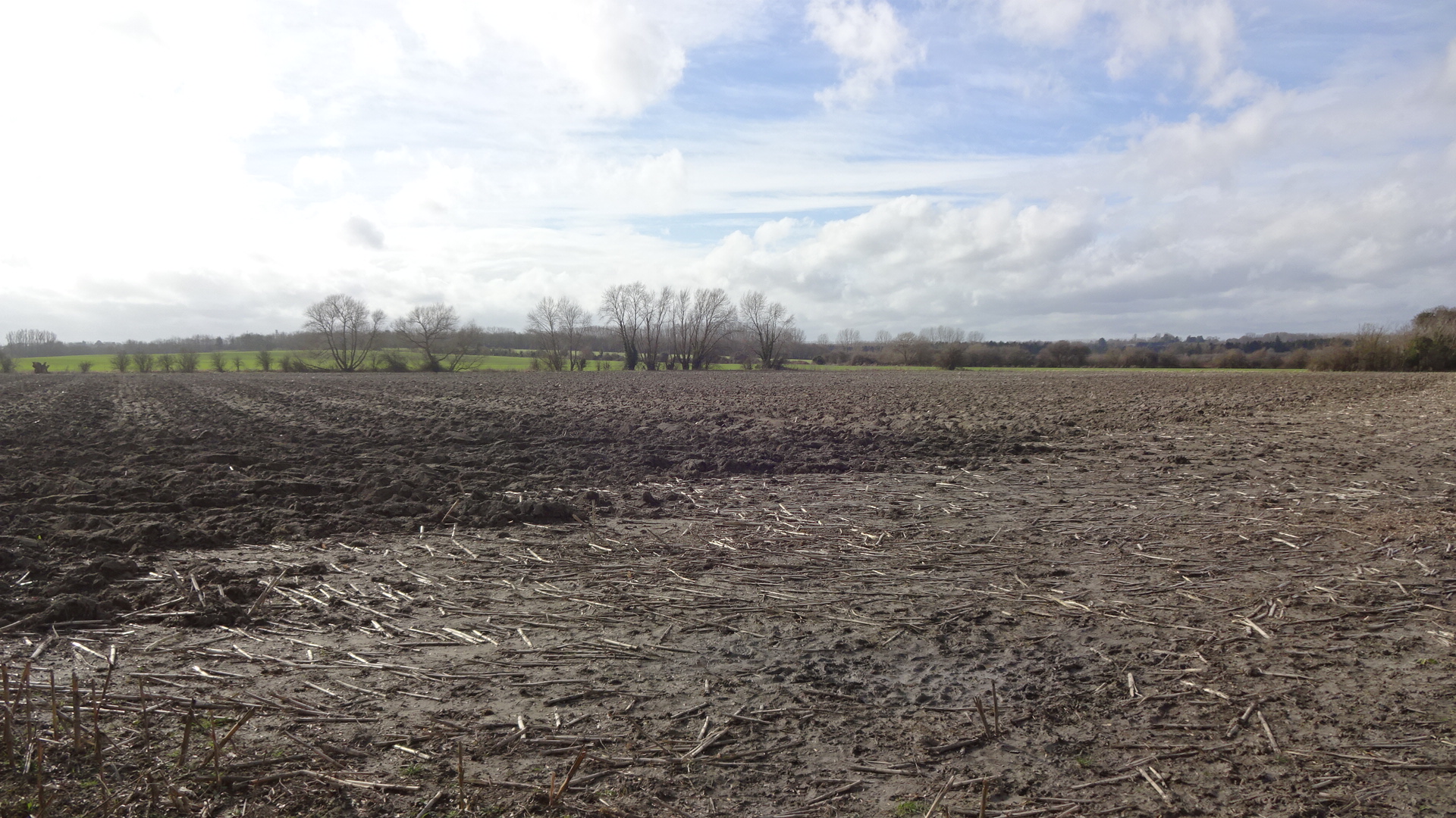
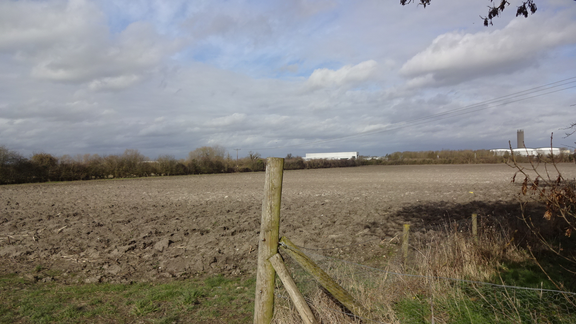
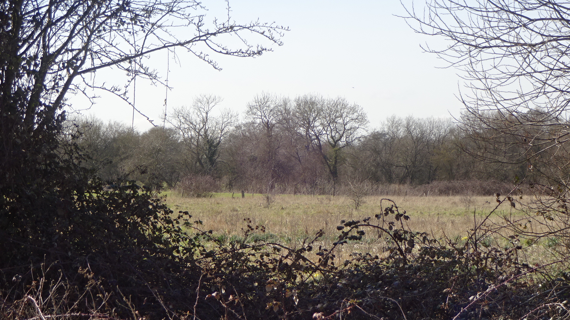
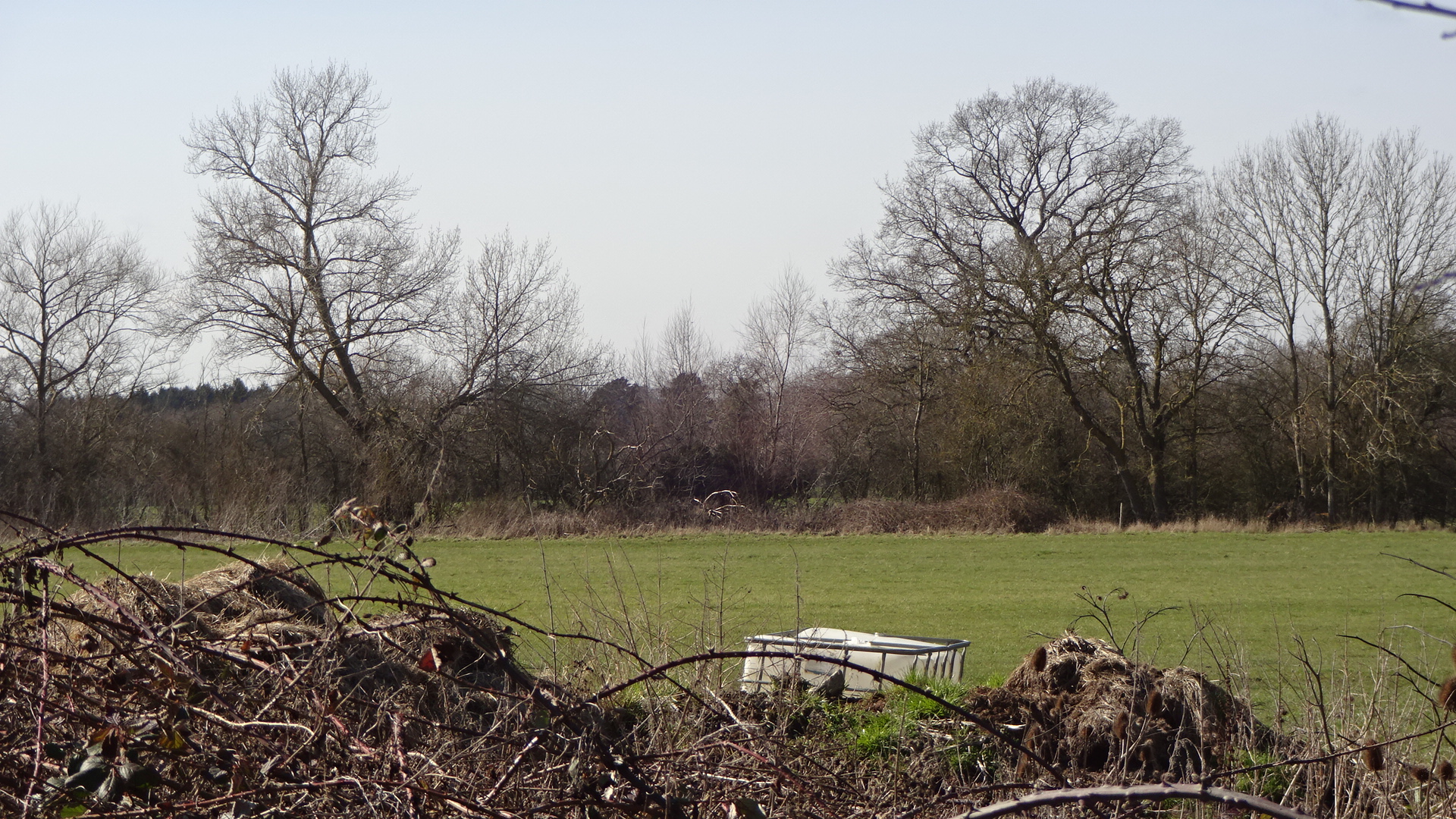
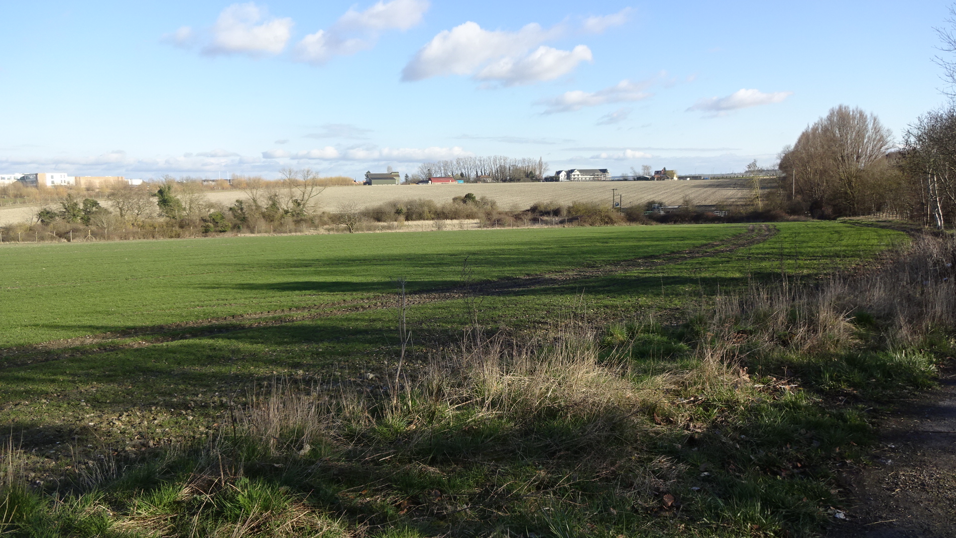
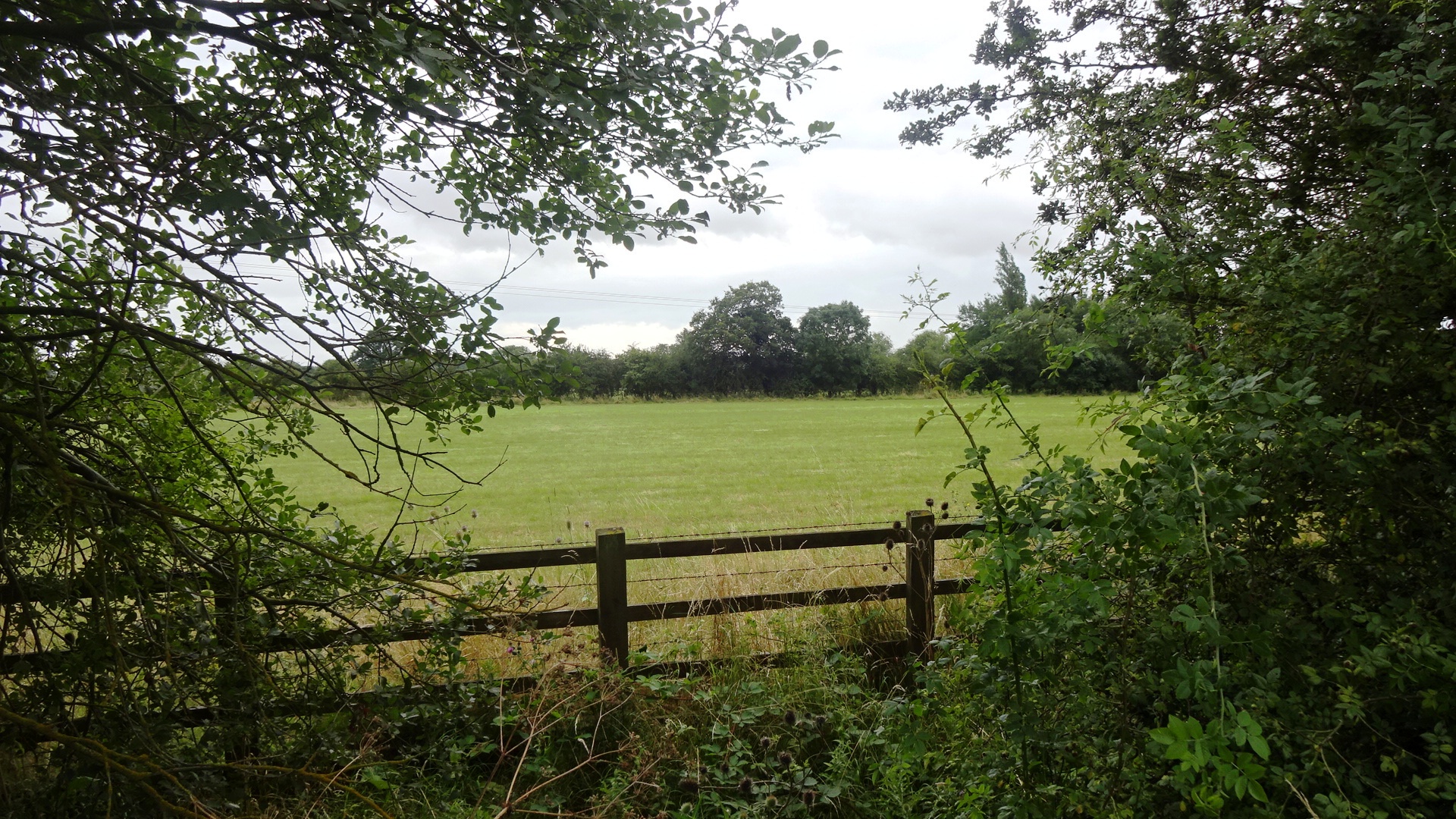
SOUTH This part of the future Valley Park is currently difficult to access. The area is privately-owned farmland, and the photographs on this page were only obtained after seeing that in places there are no fences or prohibition notices and the field margins appeared to be in regular use by dog-walkers.
Click / tap photos to enlarge / close
Click / tap to go to a map for each tree:
Public access Inaccessible
Including Cow Lane footpath north of Harwell
Valley Park footpath 243/25
Valley Park footpath 243/25
Valley Park footpath 243/25
Valley Park footpath 243/25
Valley Park footpath 243/25
Valley Park footpath 243/25
Valley Park footpath 243/25
Valley Park footpath 243/25
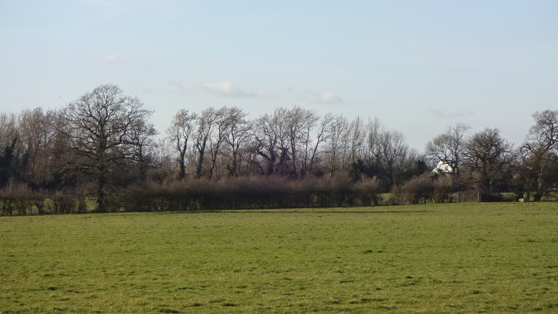
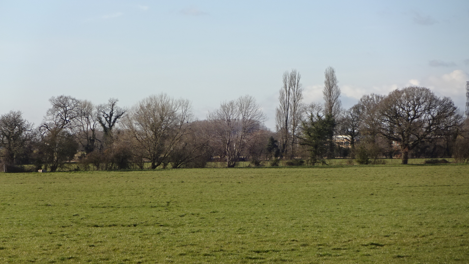
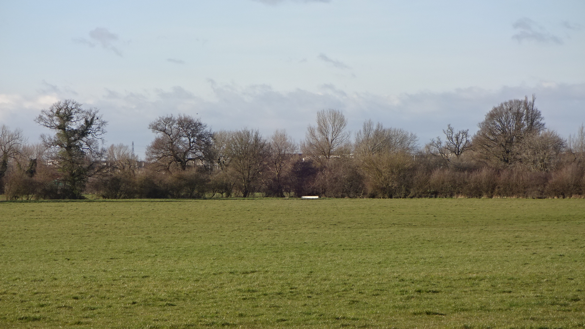
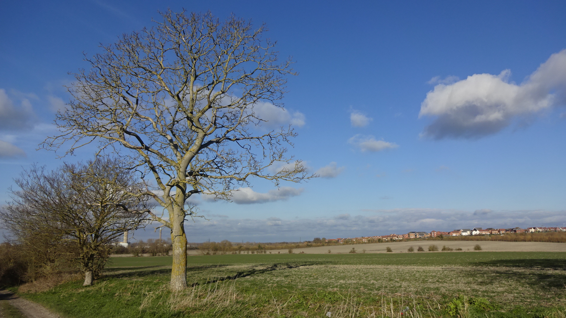
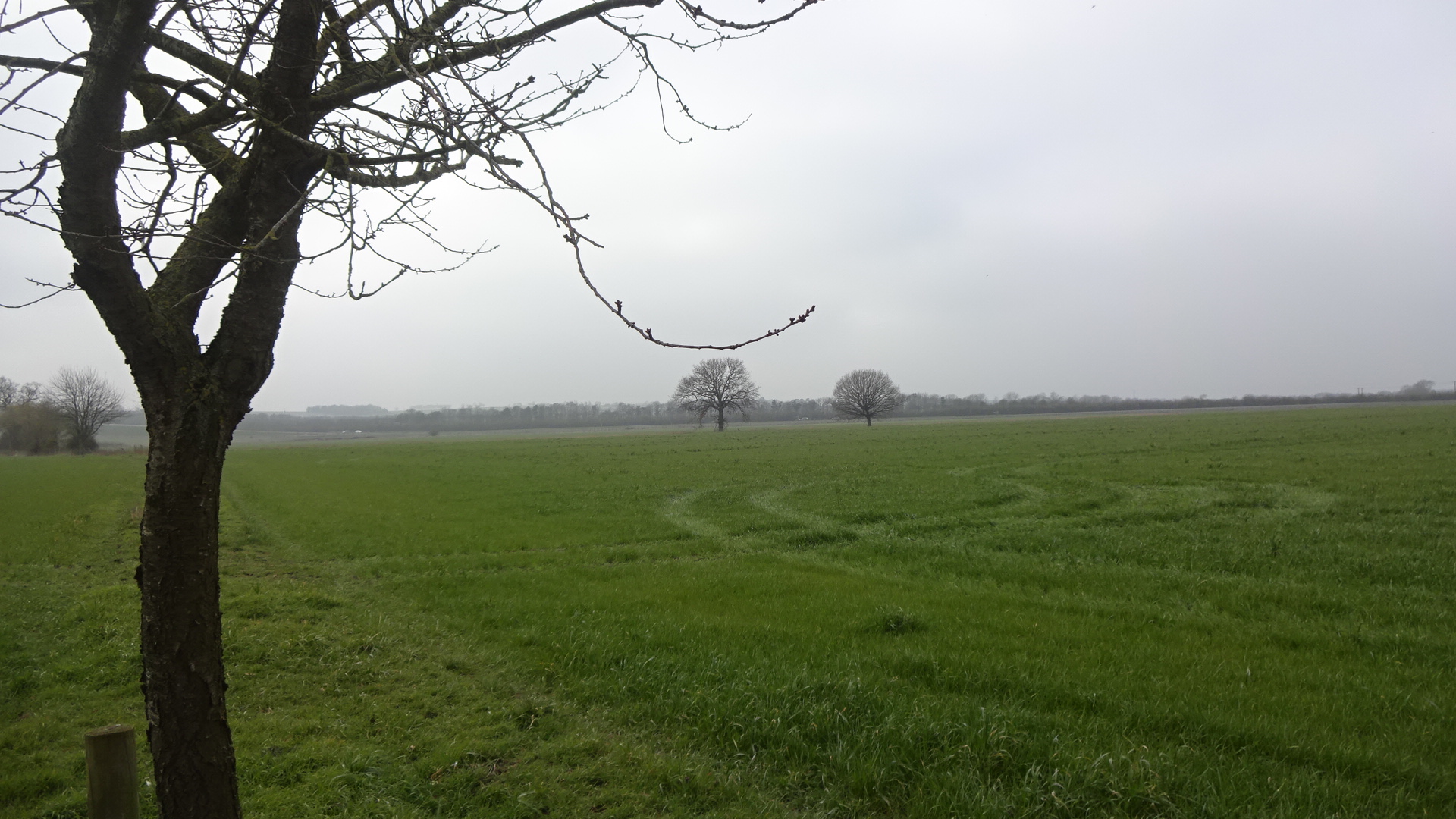
Valley Park N
Valley Park N
Valley Park N
Valley Park N
Valley Park N
Valley Park N
Valley Park N
Valley Park footpath 243/25
Valley Park footpath 243/25
Valley Park footpath 243/25
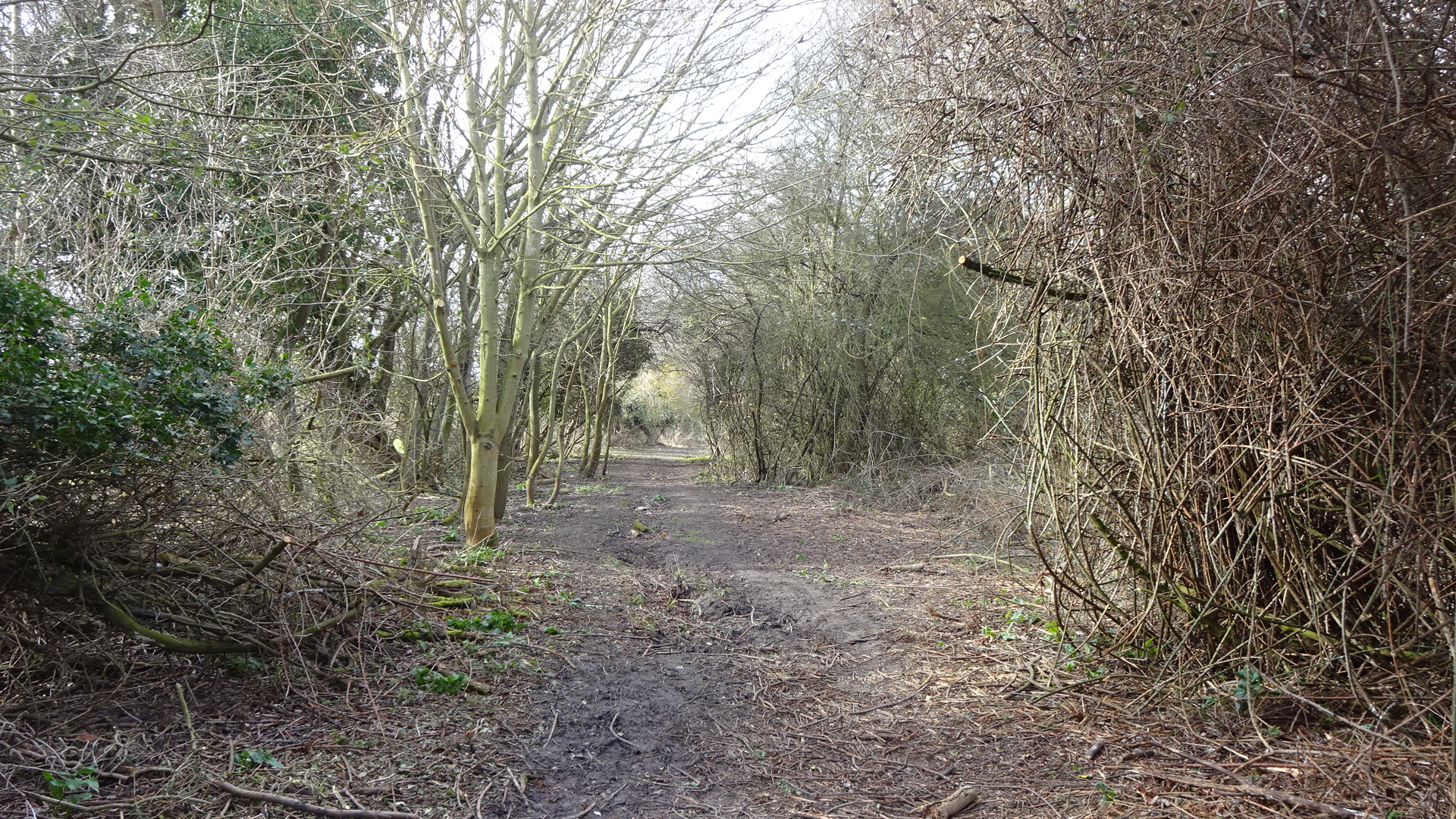
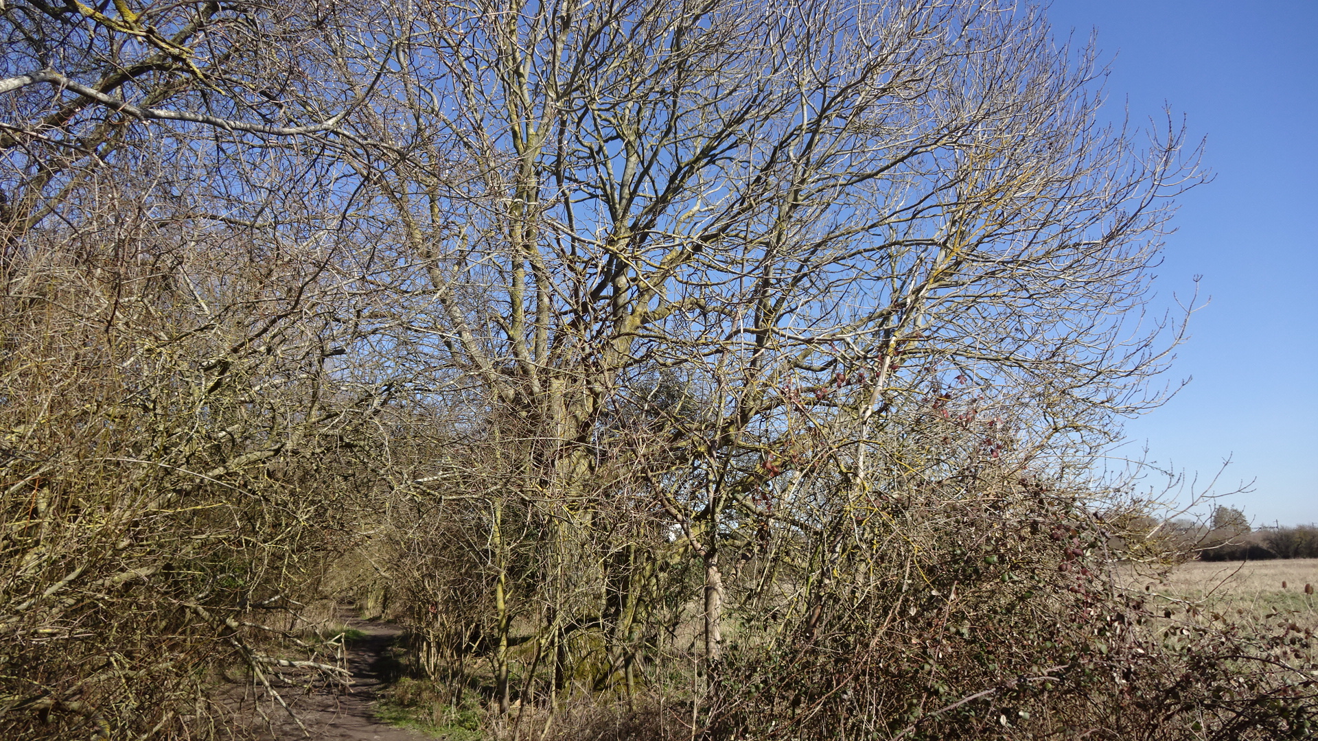
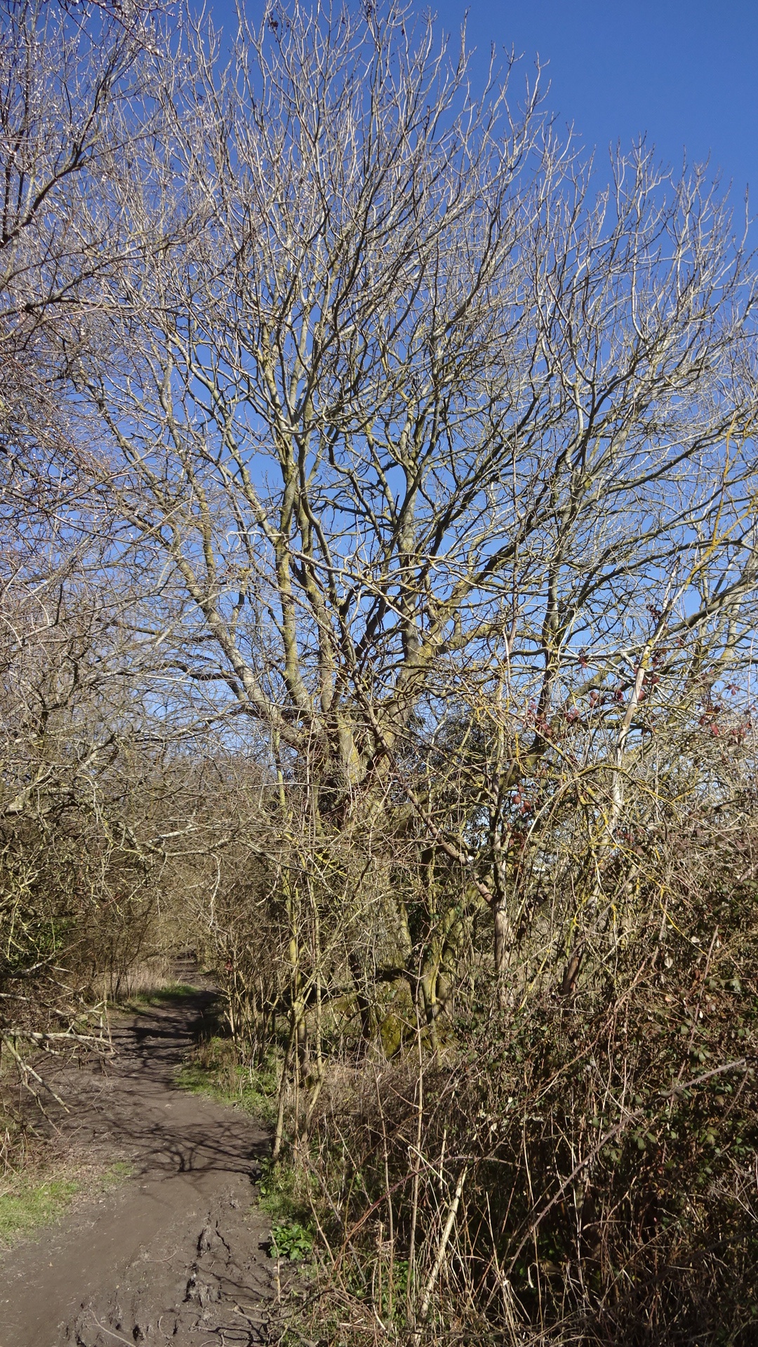
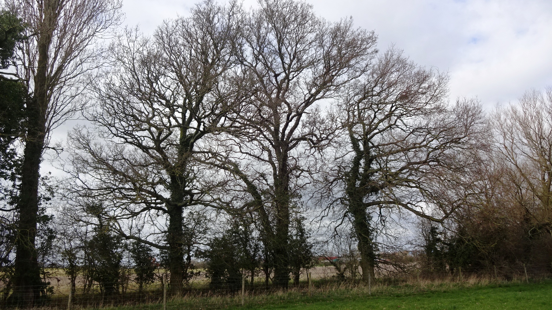
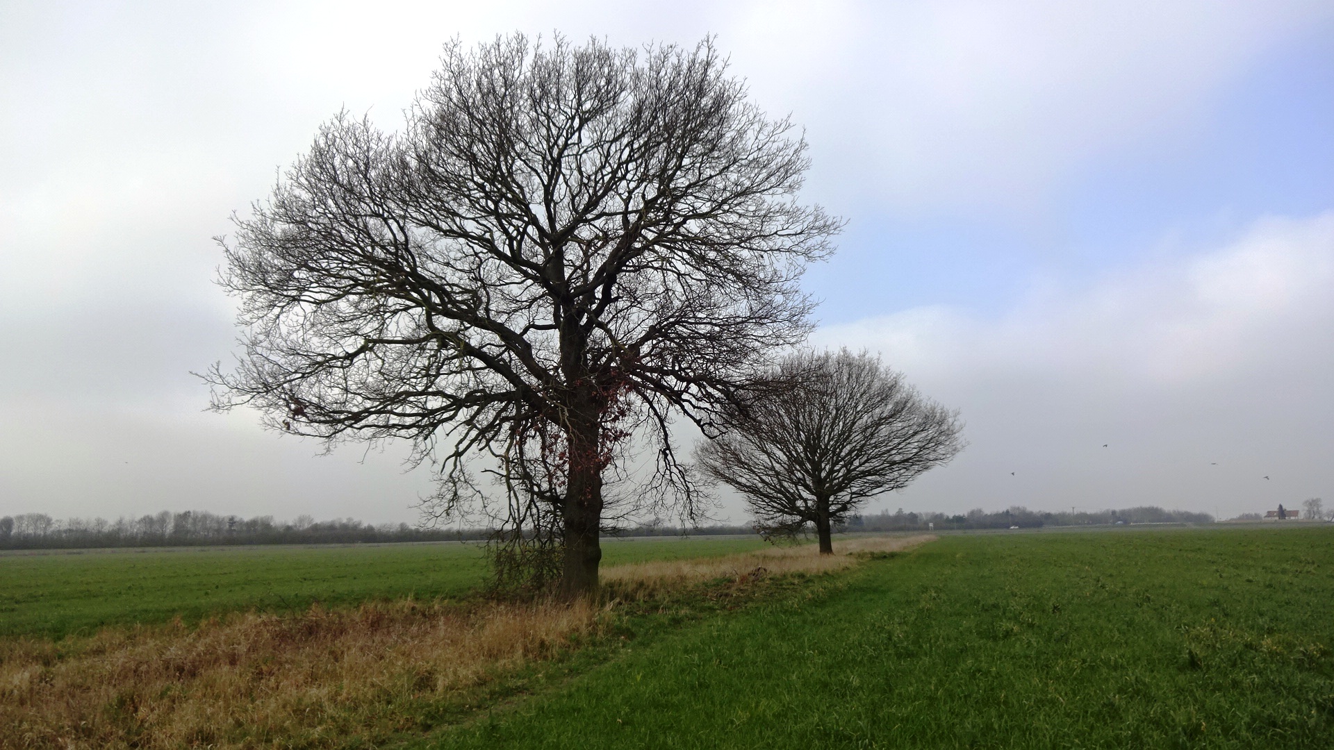
Cow Lane footpath 243/1
Cow Lane footpath 243/1
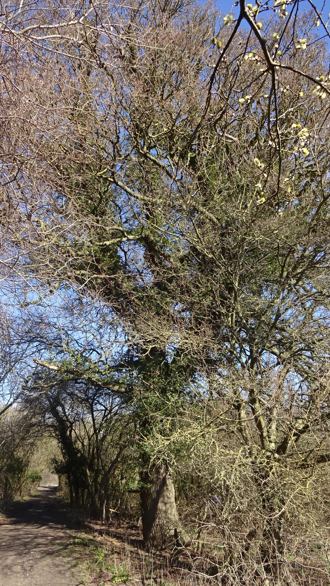
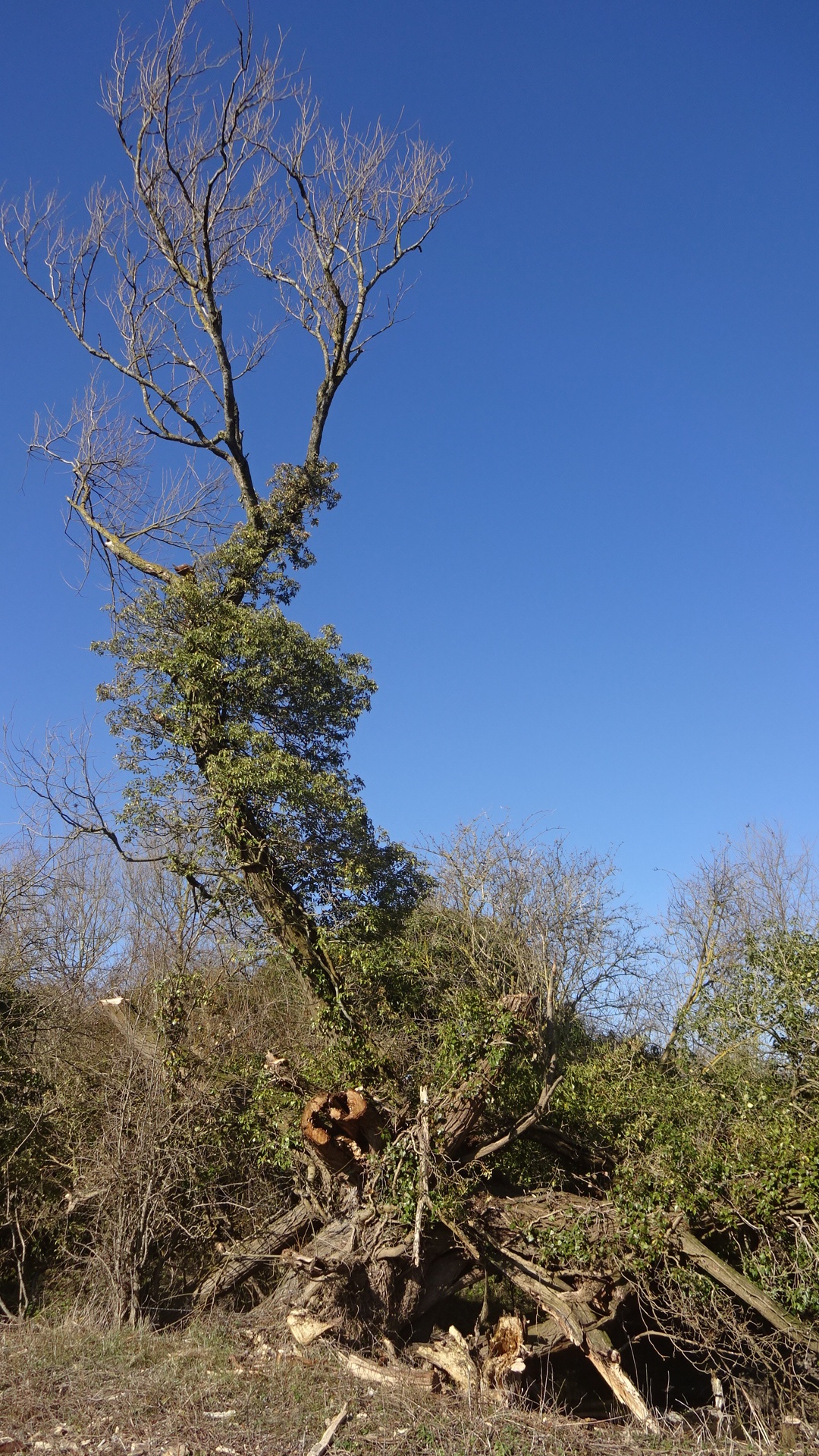
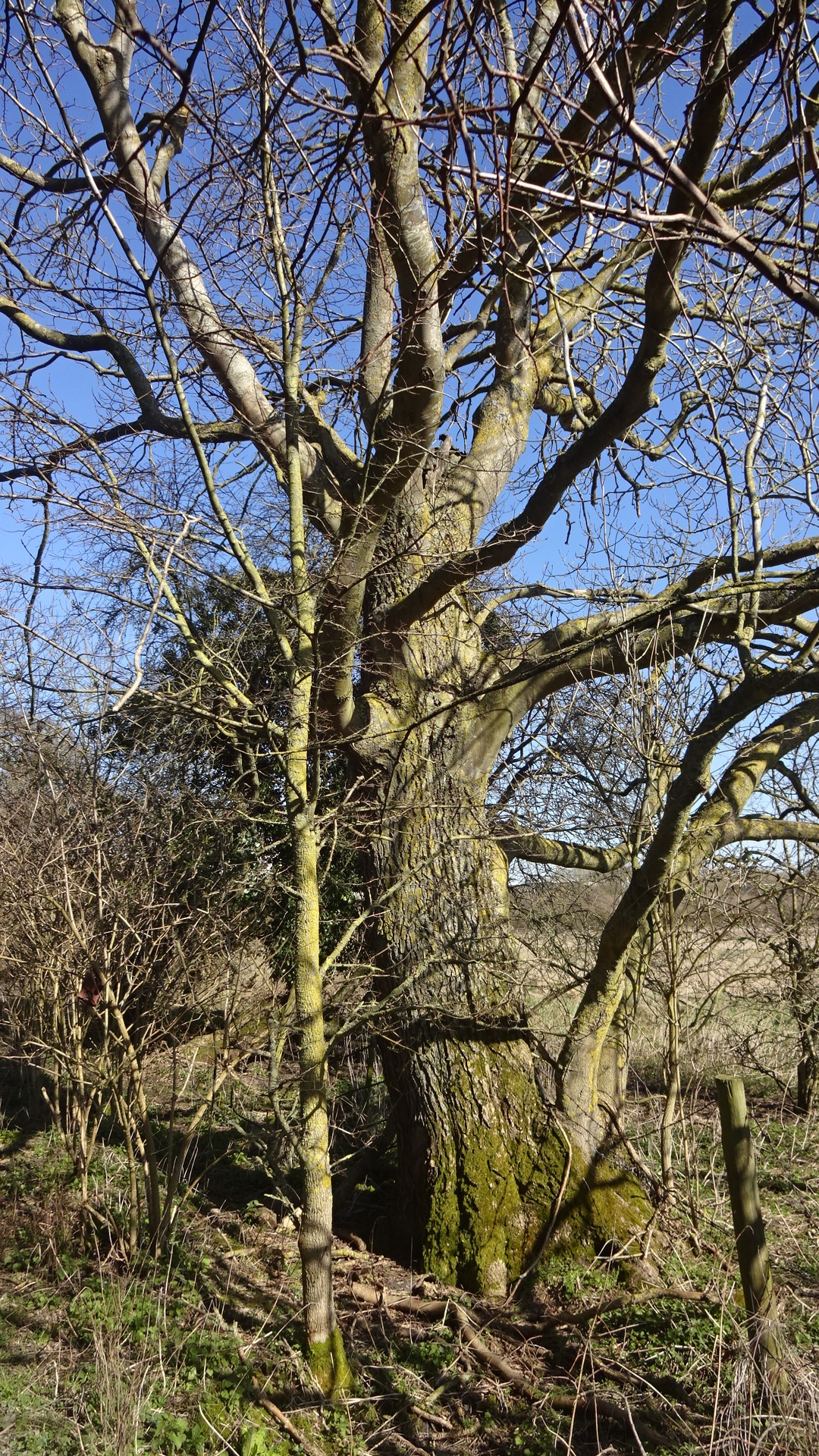
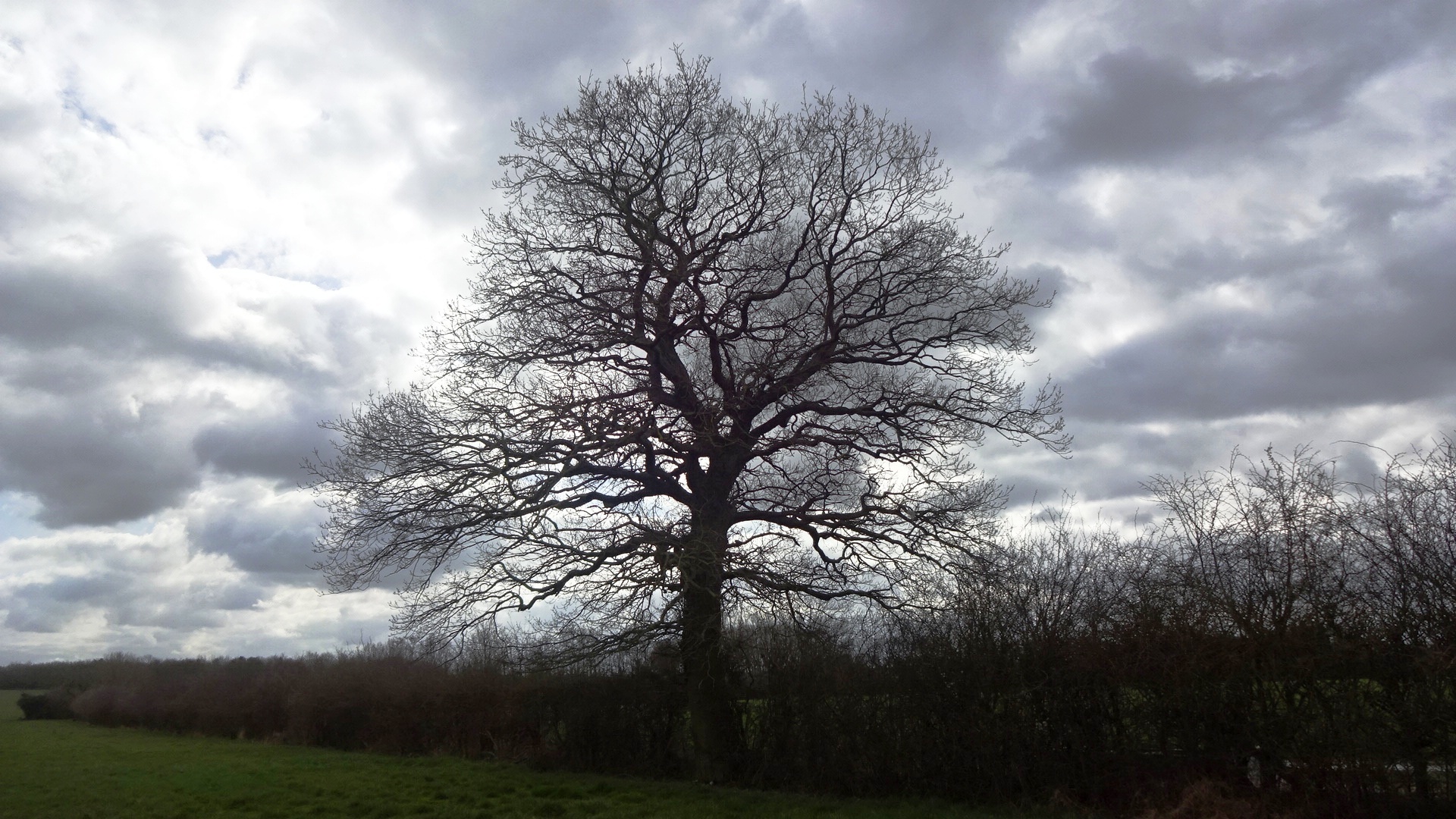
Cow Lane footpath 243/1 oak

Cow Lane footpath 243/1 oak
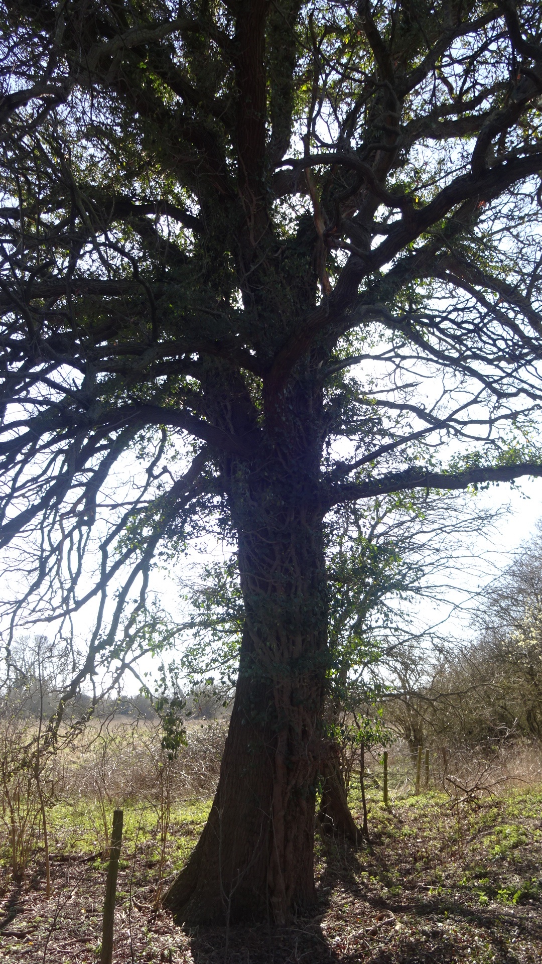
Cow Lane footpath 243/1 oak
Cow Lane footpath 243/1
Cow Lane footpath 243/1
Cow Lane footpath 243/1
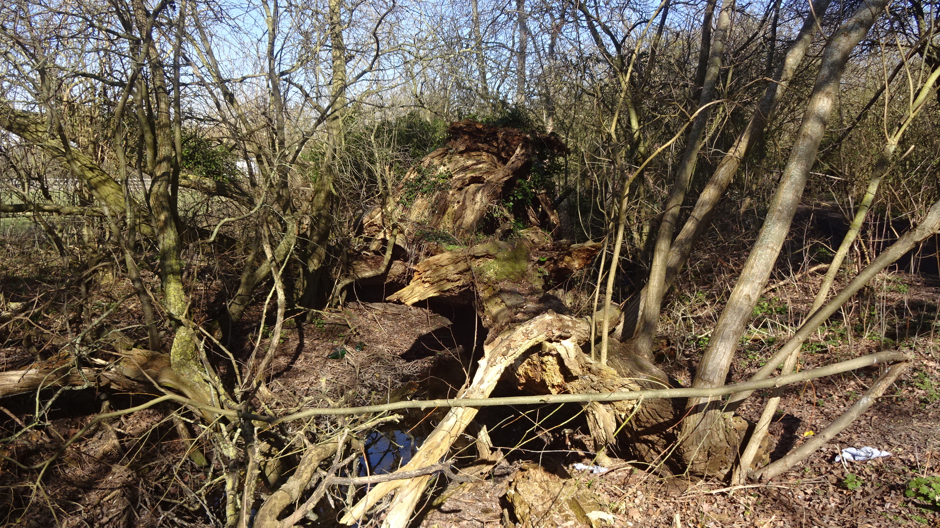
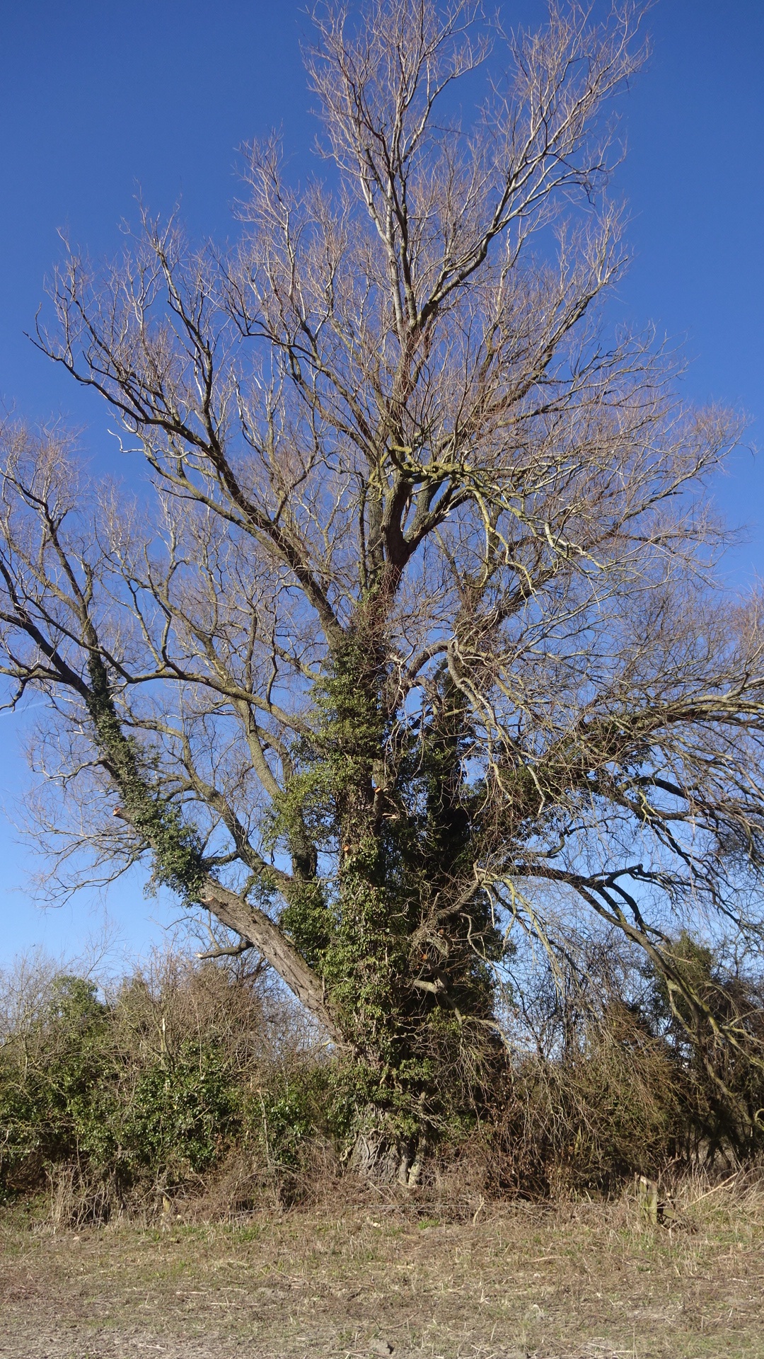
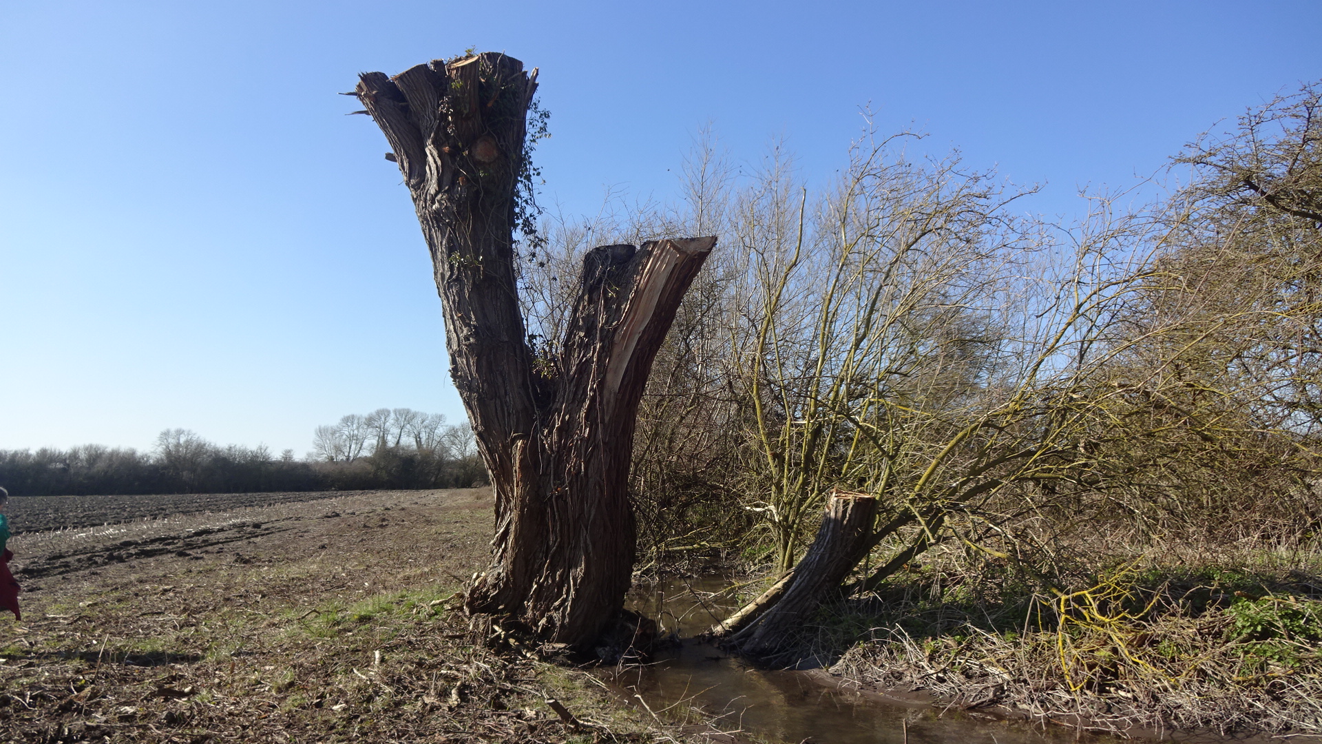
Cow Lane fallen crack willow
Cow Lane footpath 243/1
Cow Lane footpath 243/1
Cow Lane footpath 243/1
Cow Lane footpath N end
Cow Lane footpath 243/1
Cow Lane footpath 243/1
Cow Lane footpath 243/1
Cow Lane footpath 243/1
Cow Lane footpath 243/1
Cow Lane footpath 243/1

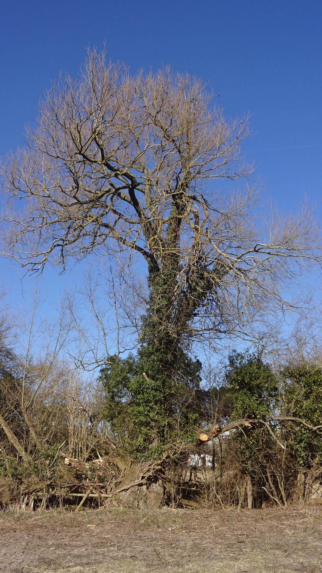
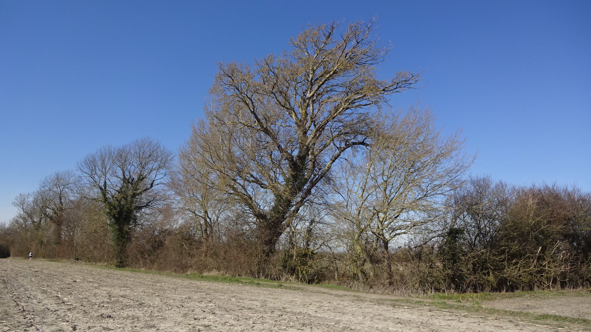
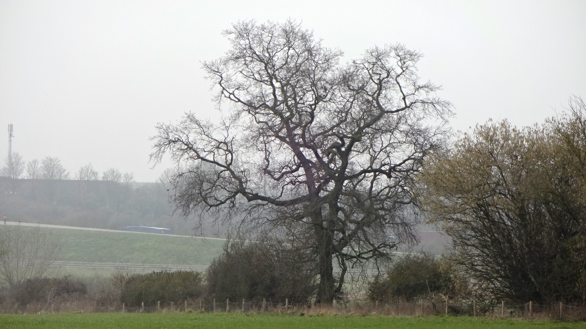
Cow Lane footpath oak T111
Cow Lane footpath 243/1
Cow Lane footpath 243/1
Cow Lane footpath 243/1
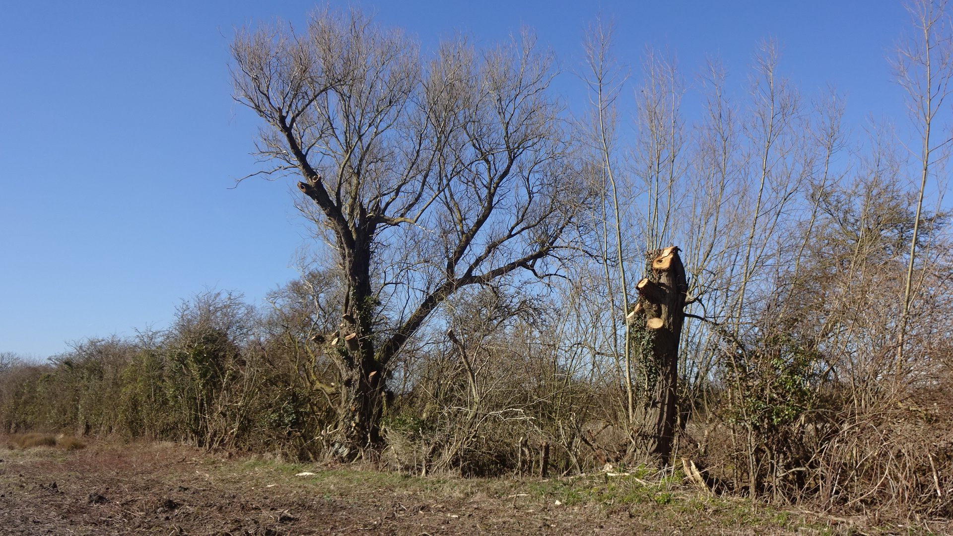
Cow Lane footpath
Cow Lane footpath
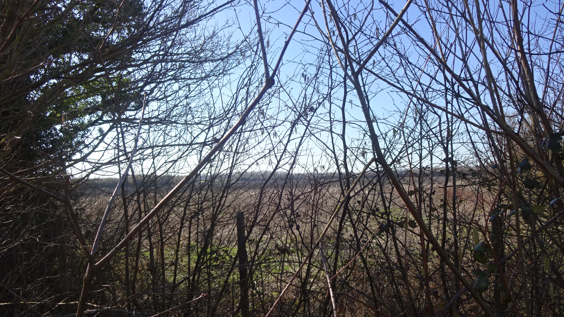
Partial access from footpath 243/3
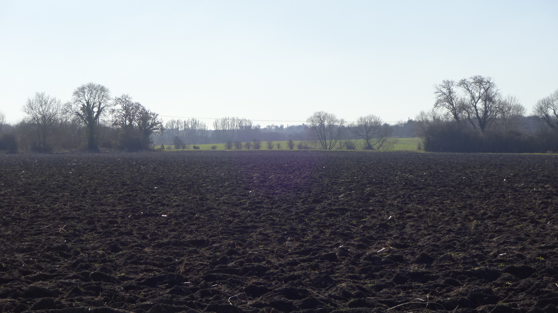
Field 8
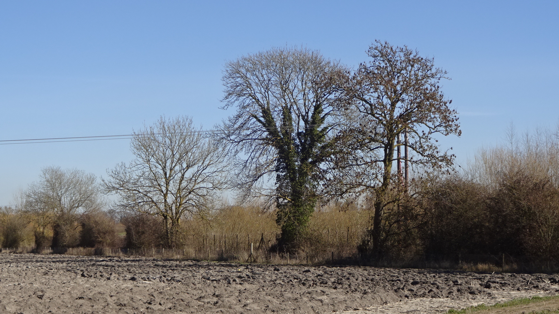
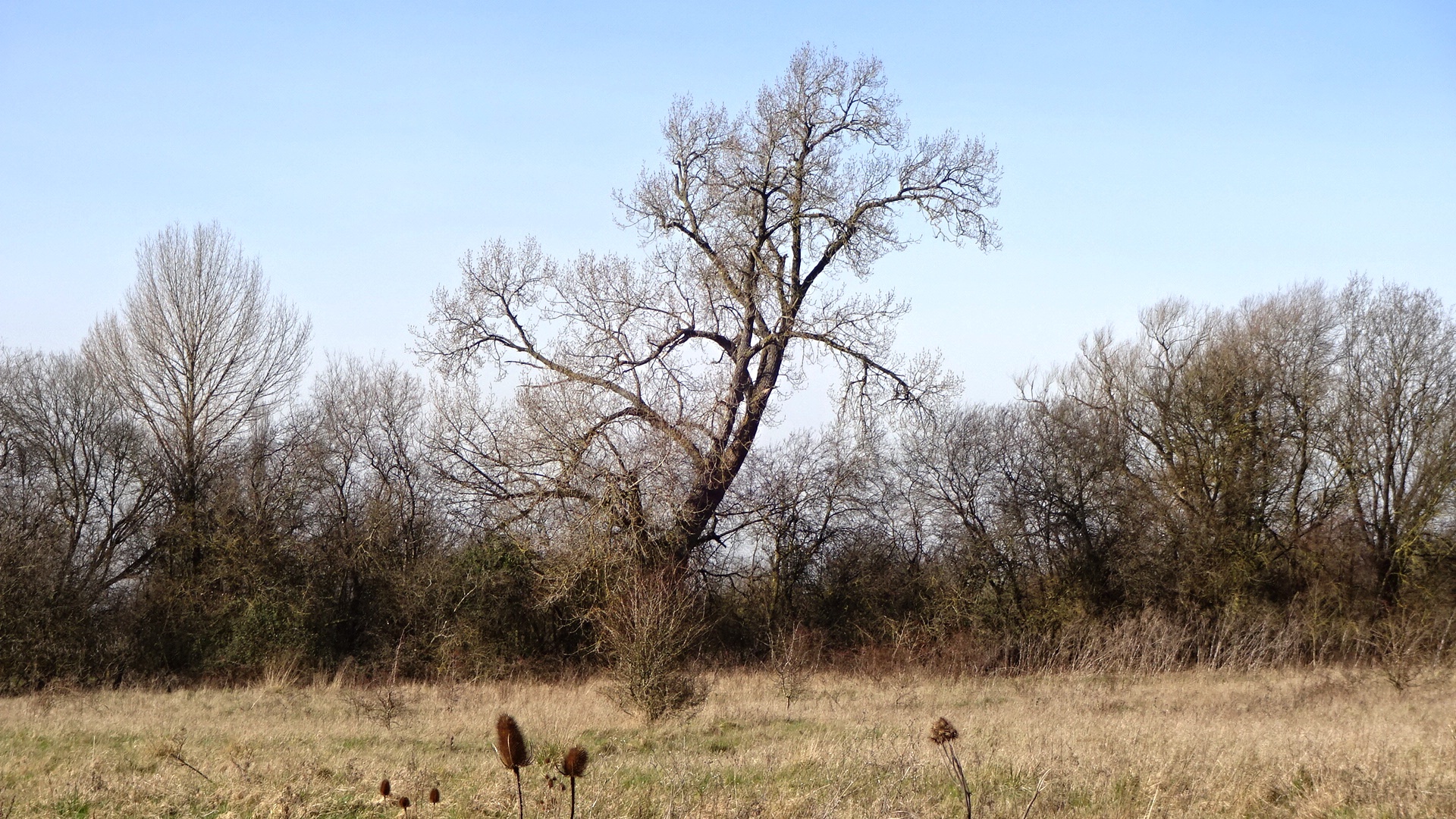
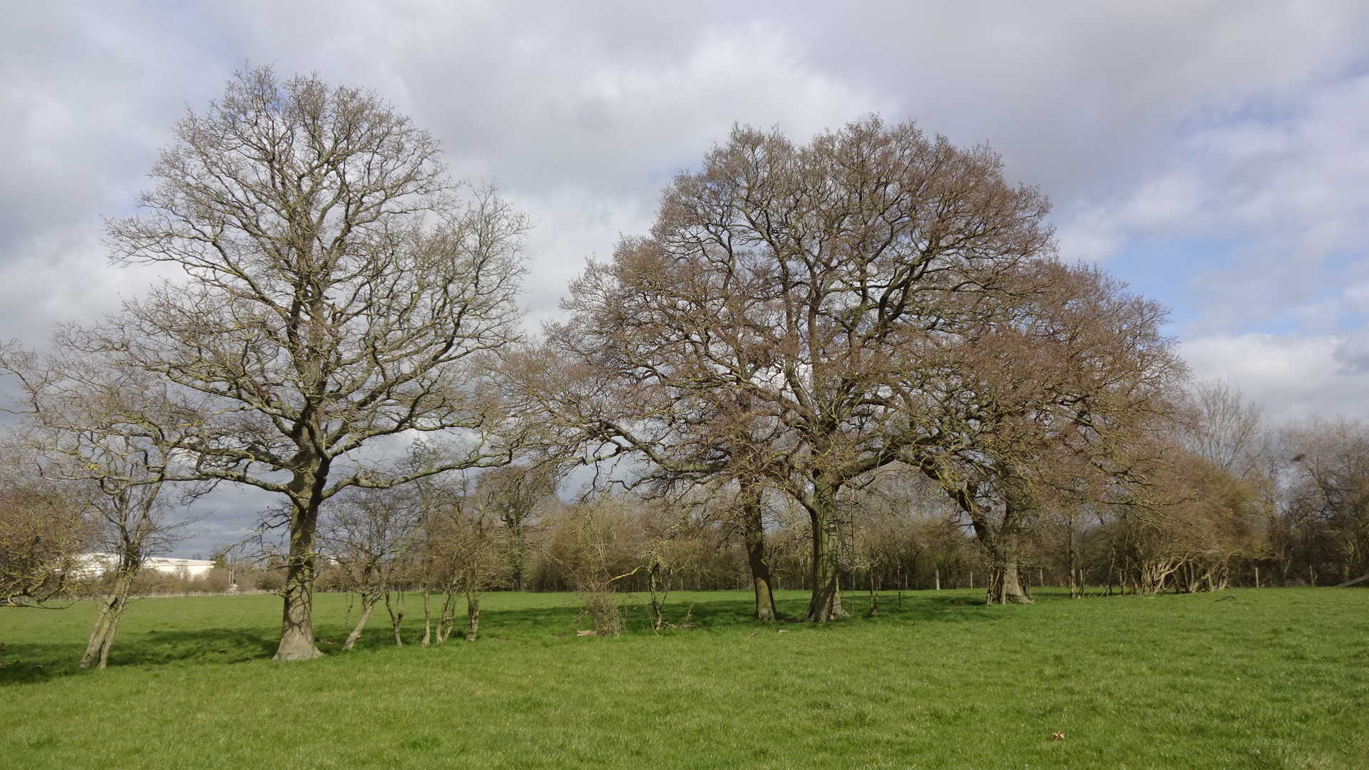
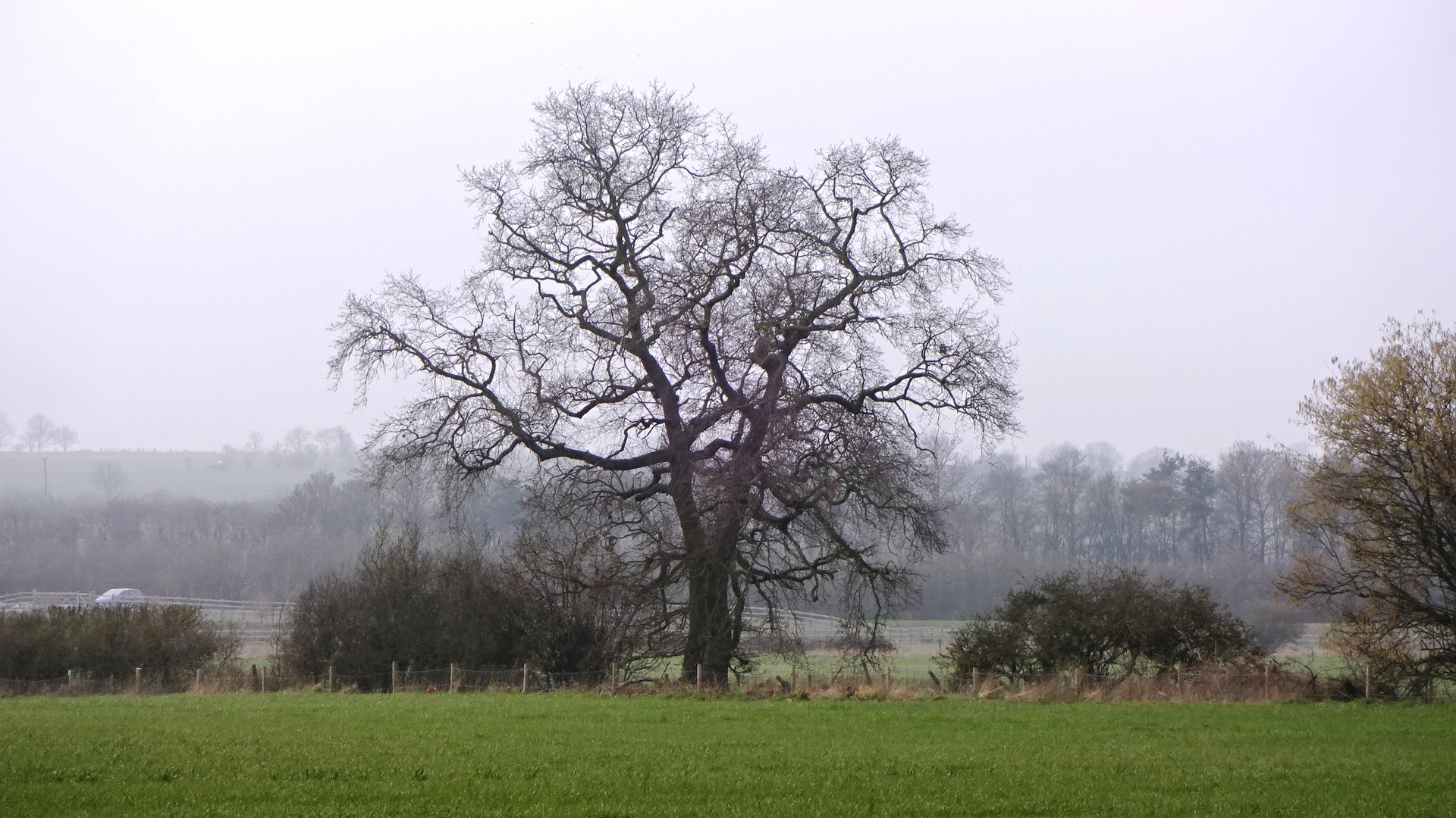
Field 15 tree T156
Field 15 trees T161-163
Field 15 tree T162
Field 15 tree T162
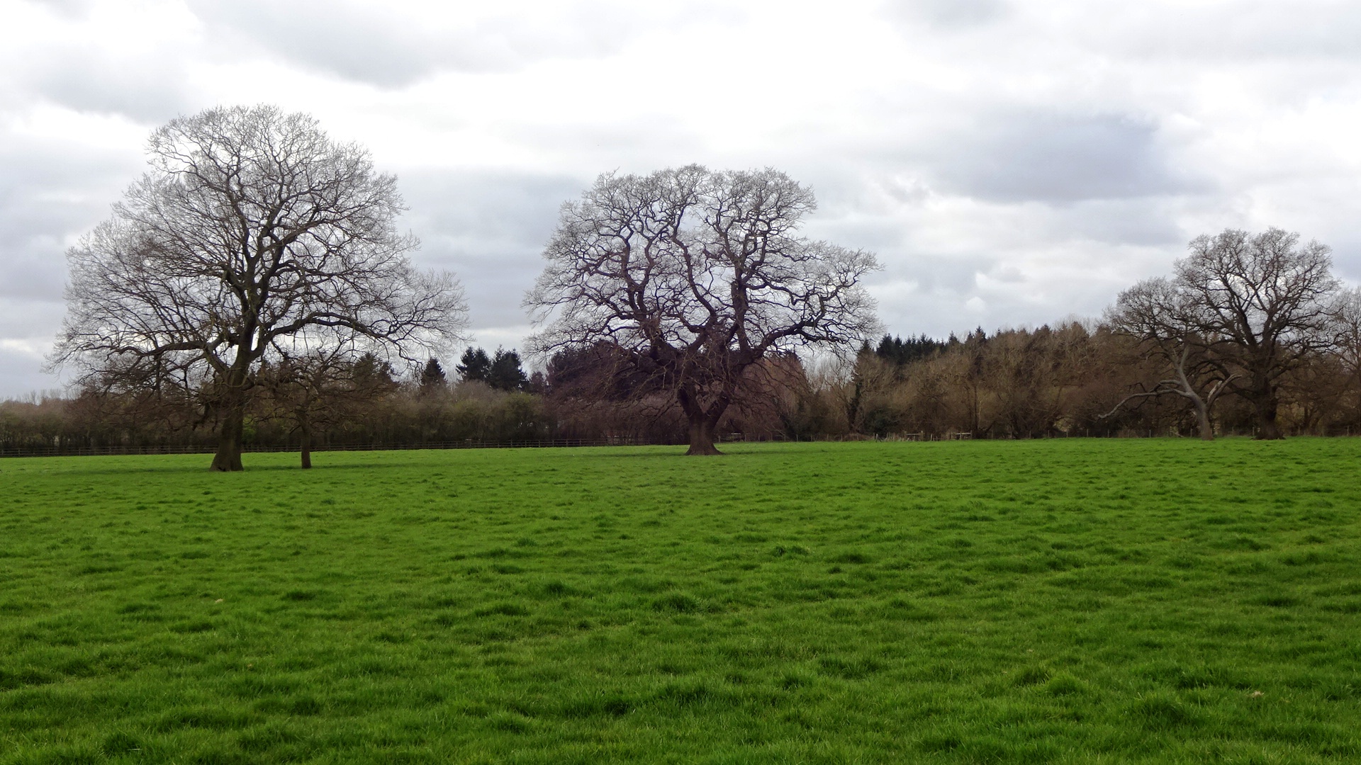
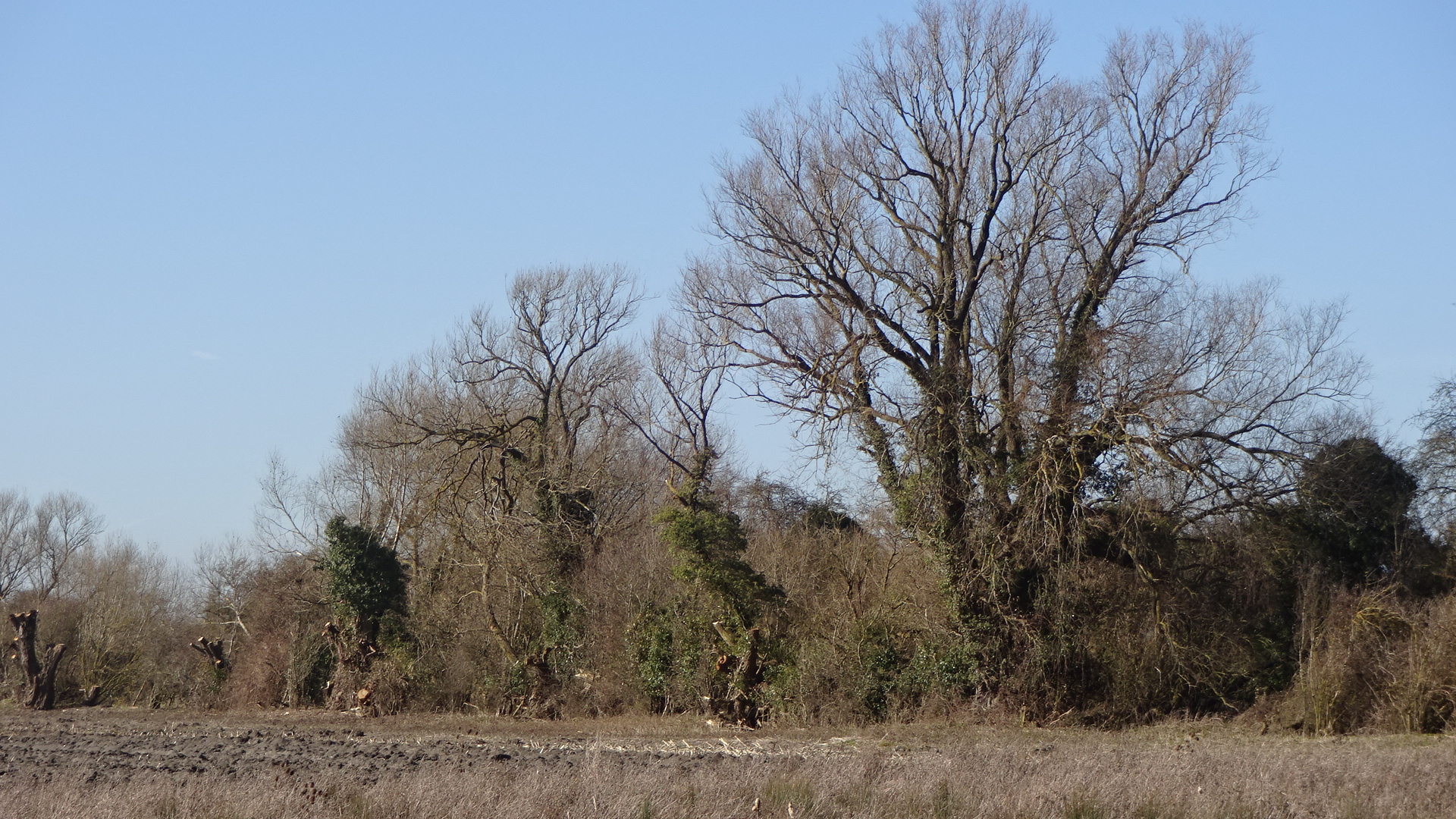
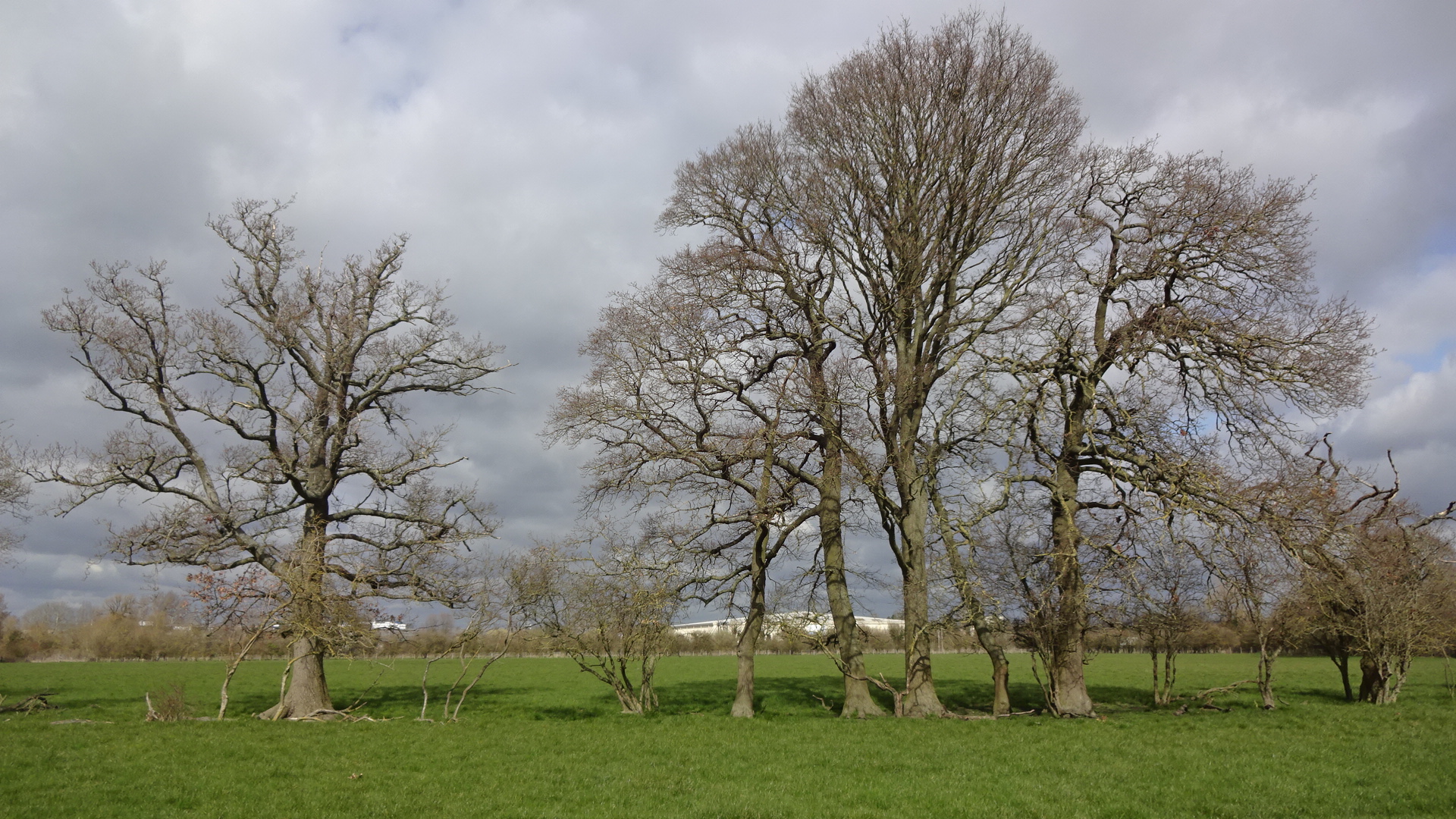
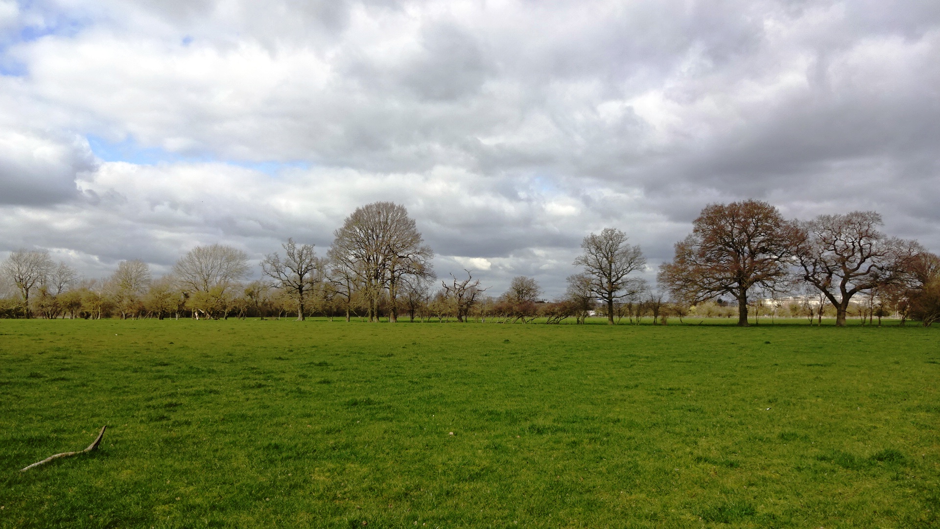
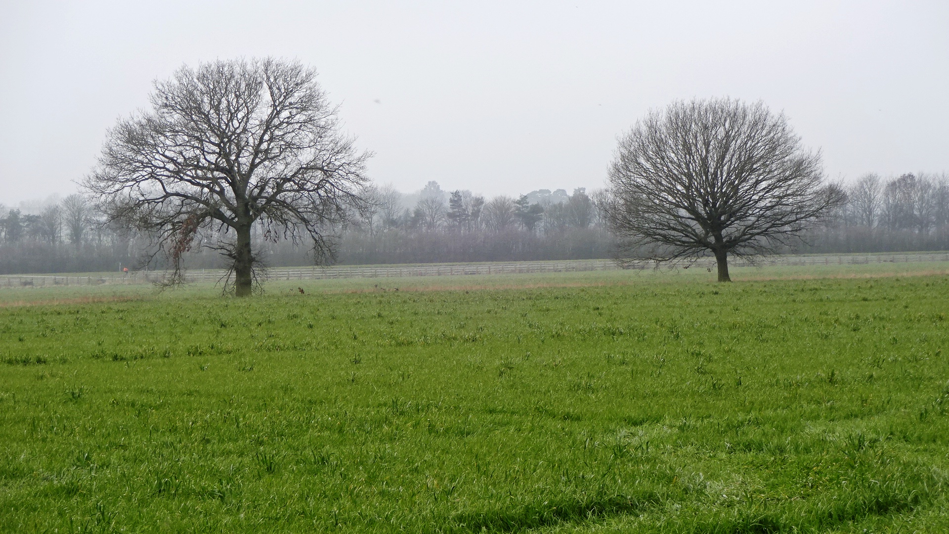
Field 18 trees T207-T203
Field 18 trees T207-T205
Field 18 tree T204-T203
Field 12 group G209
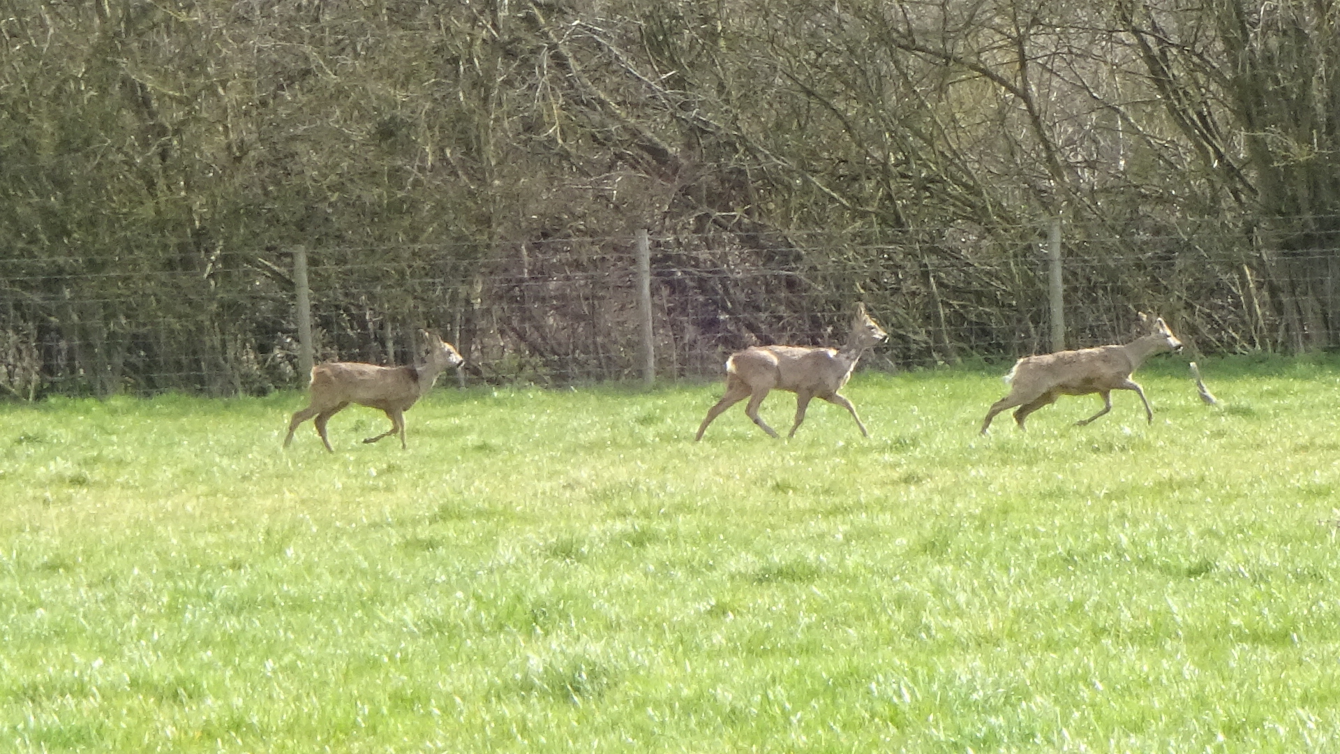
Field 12 roe deer
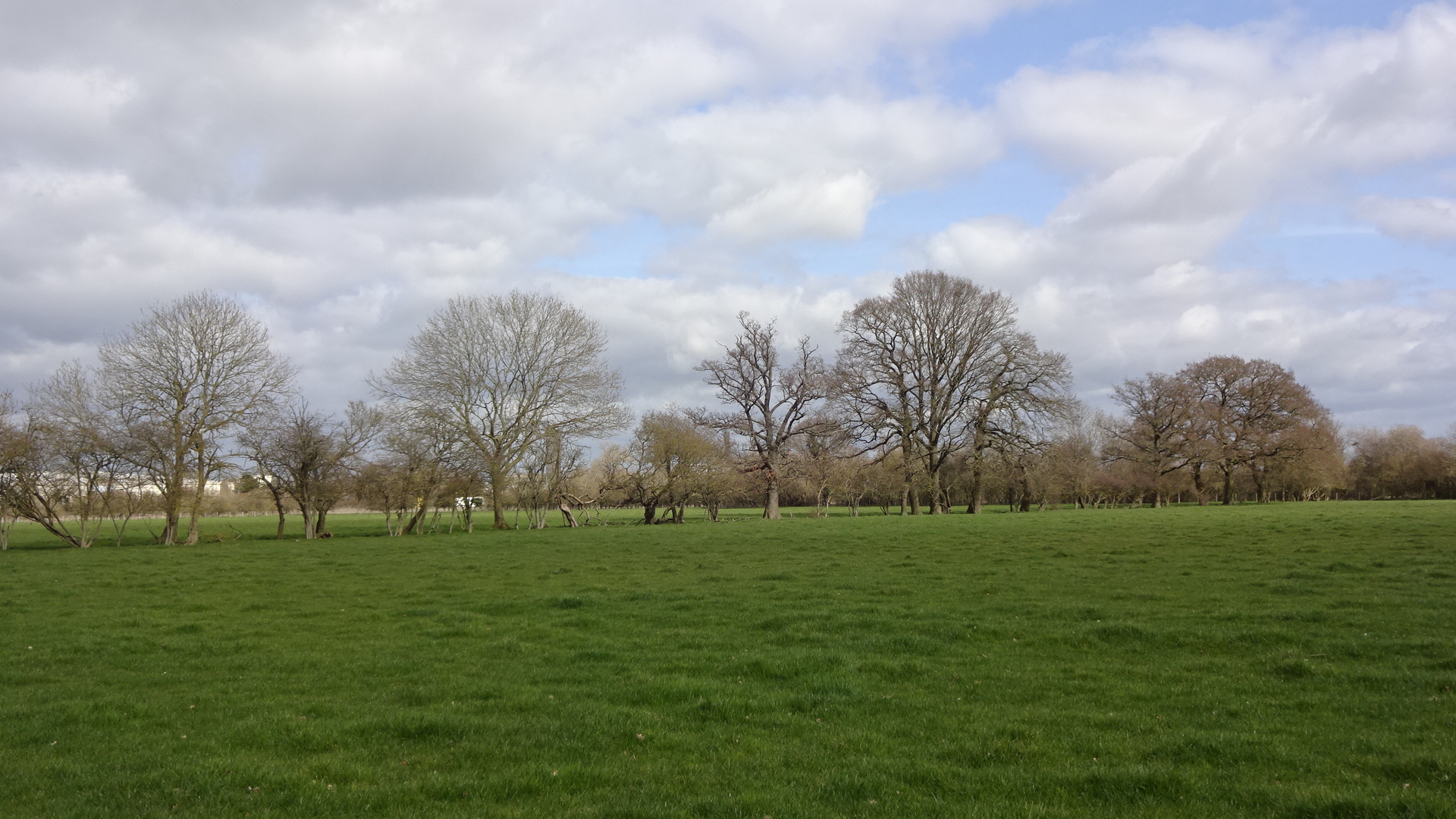
Field 12 trees T214-T227
Field 12 trees T217-T223
Field 12 trees T224-T227
Field 12 trees T225-T226
Field 12 trees T224-T227
Field 11 tree T229 distant

Field 11 tree T229
Field 11 tree T229 distant
Field 12 trees T212-T227

Field 12 T210, T224-T227
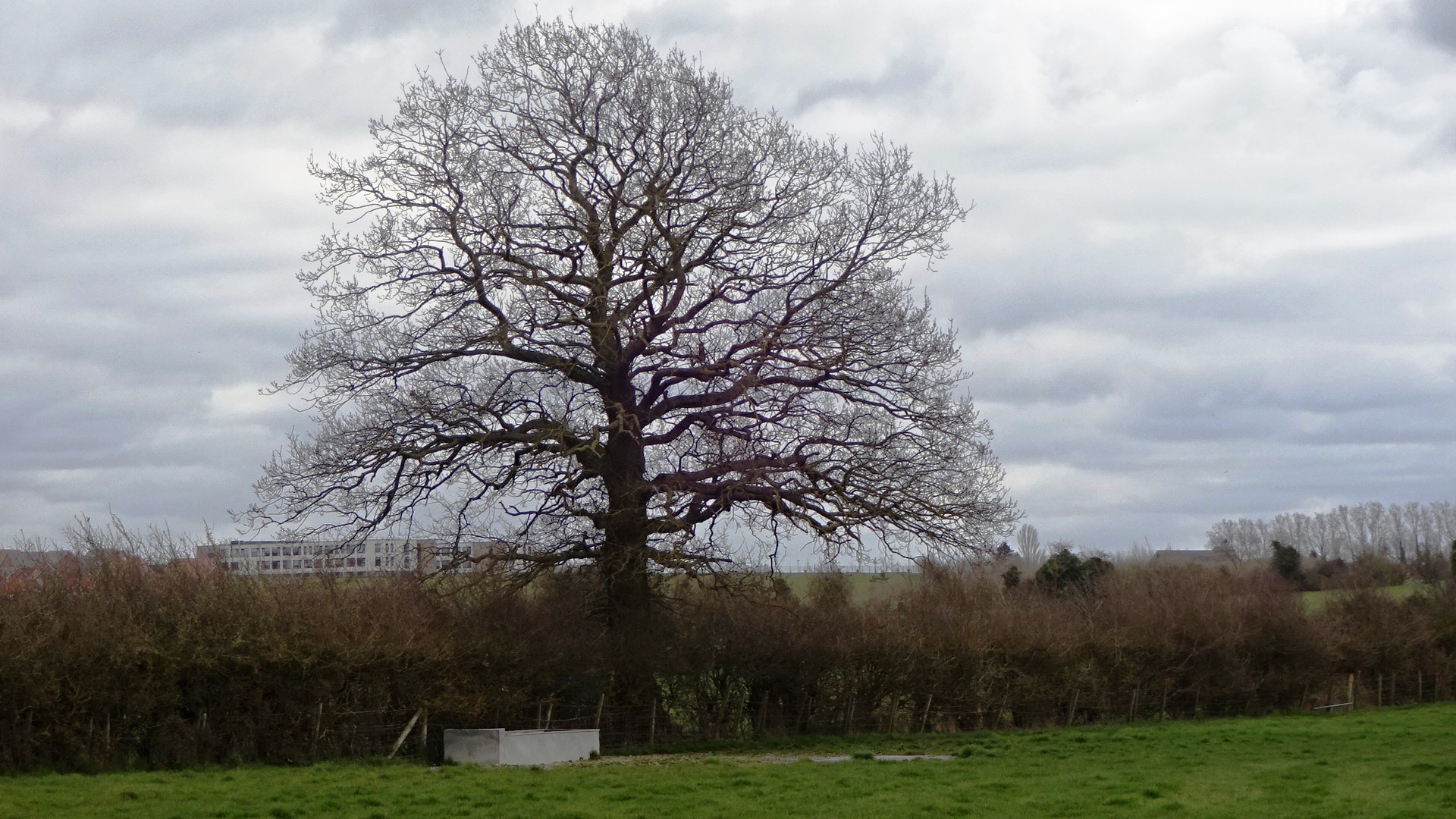
Field 18 tree T156
Field 15 tree T156

Field 15 T156, T207-T203
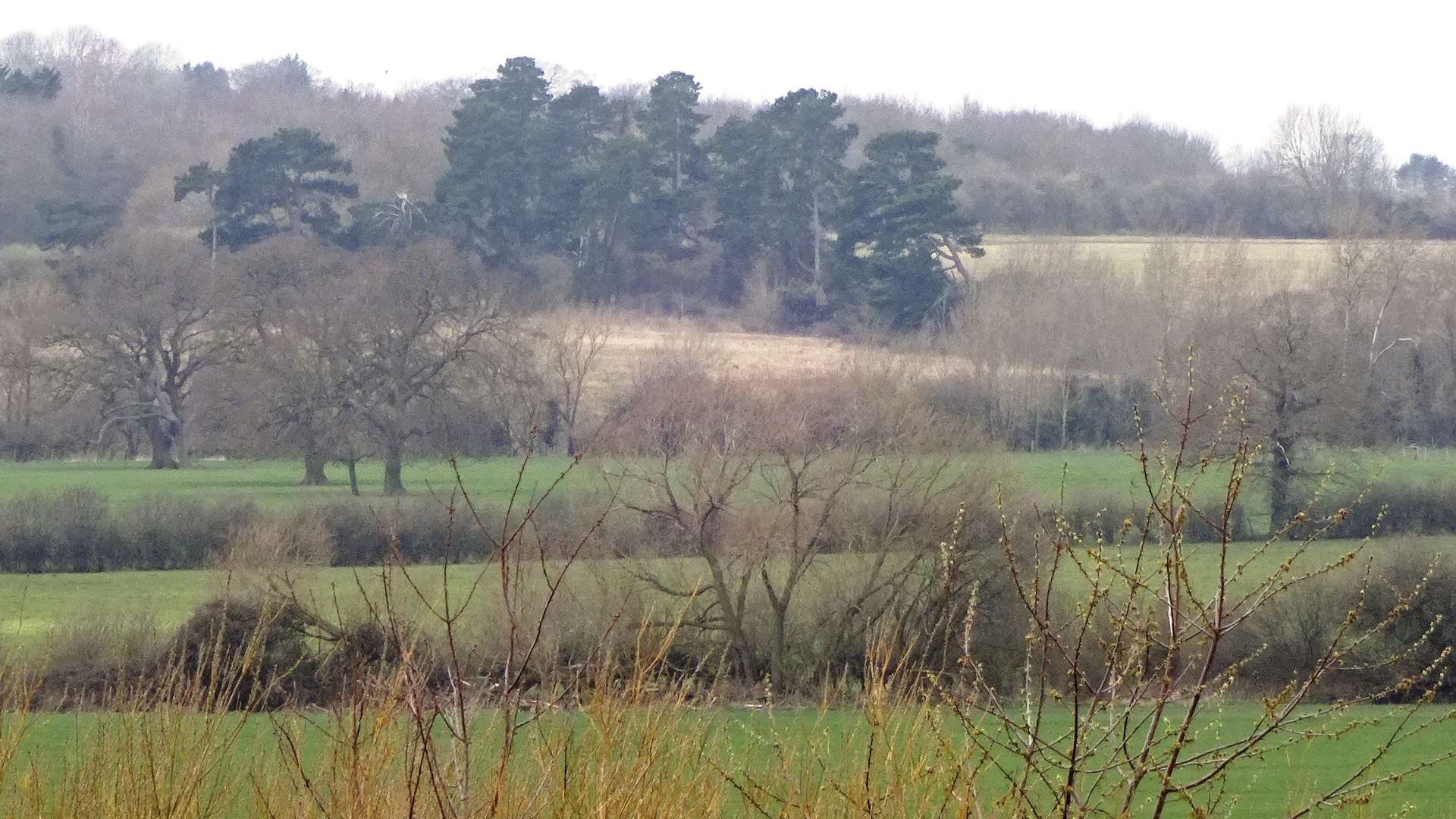
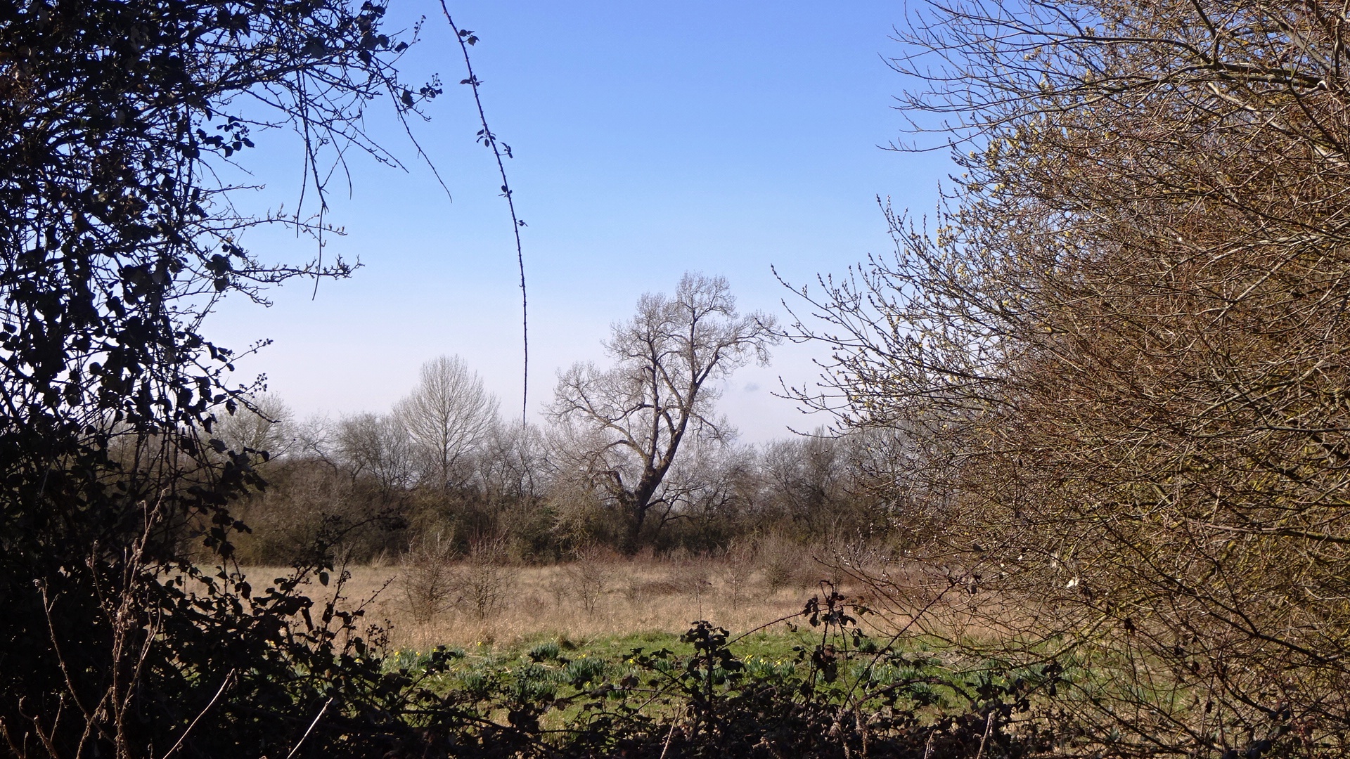
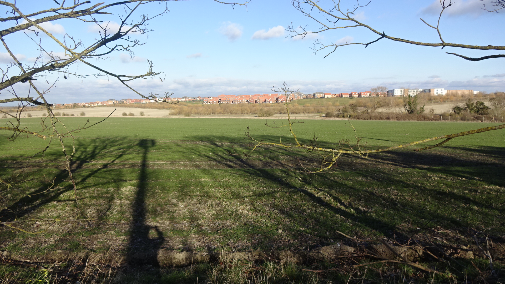
Valley Park view from GWP
South of Didcot Road
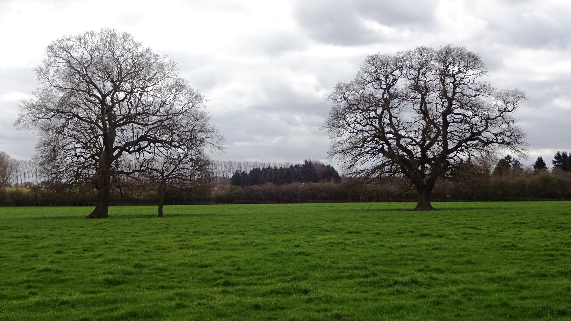
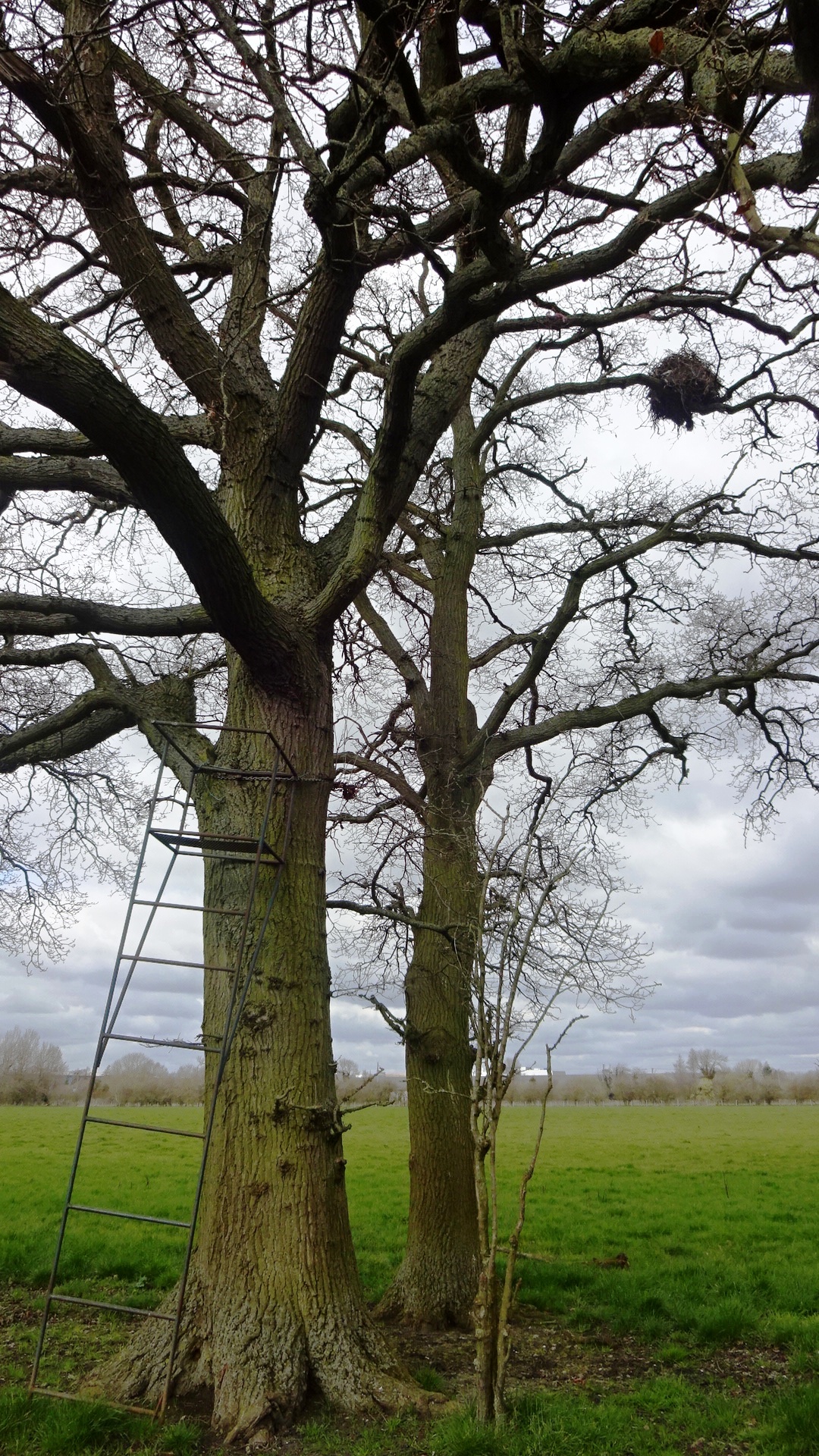
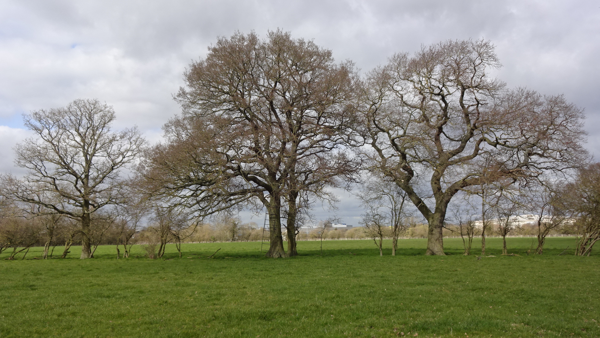
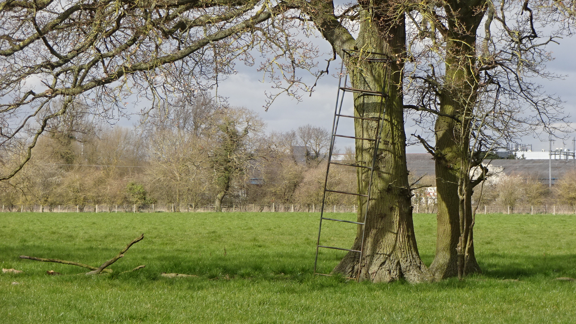
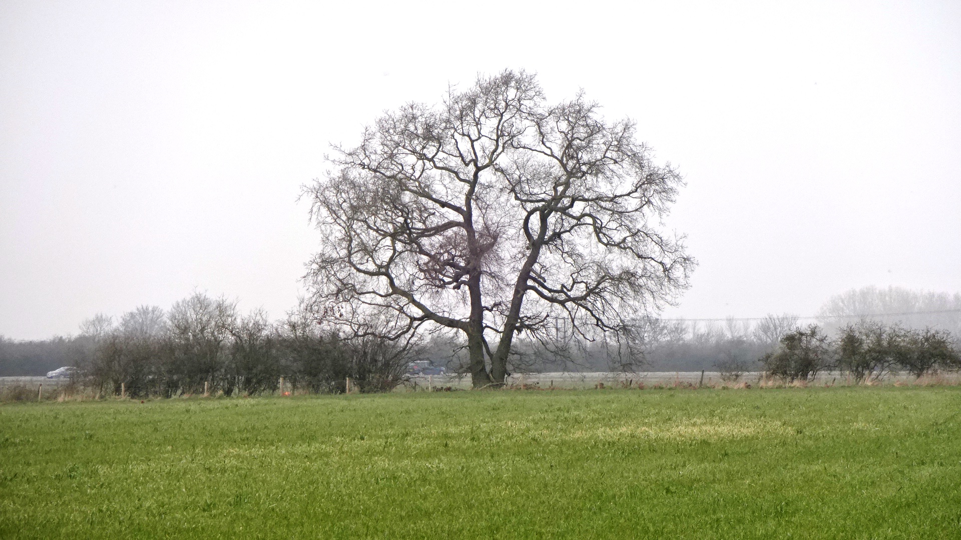
Valley Park S oak pair
Valley Park S oak pair
Valley Park S oak pair
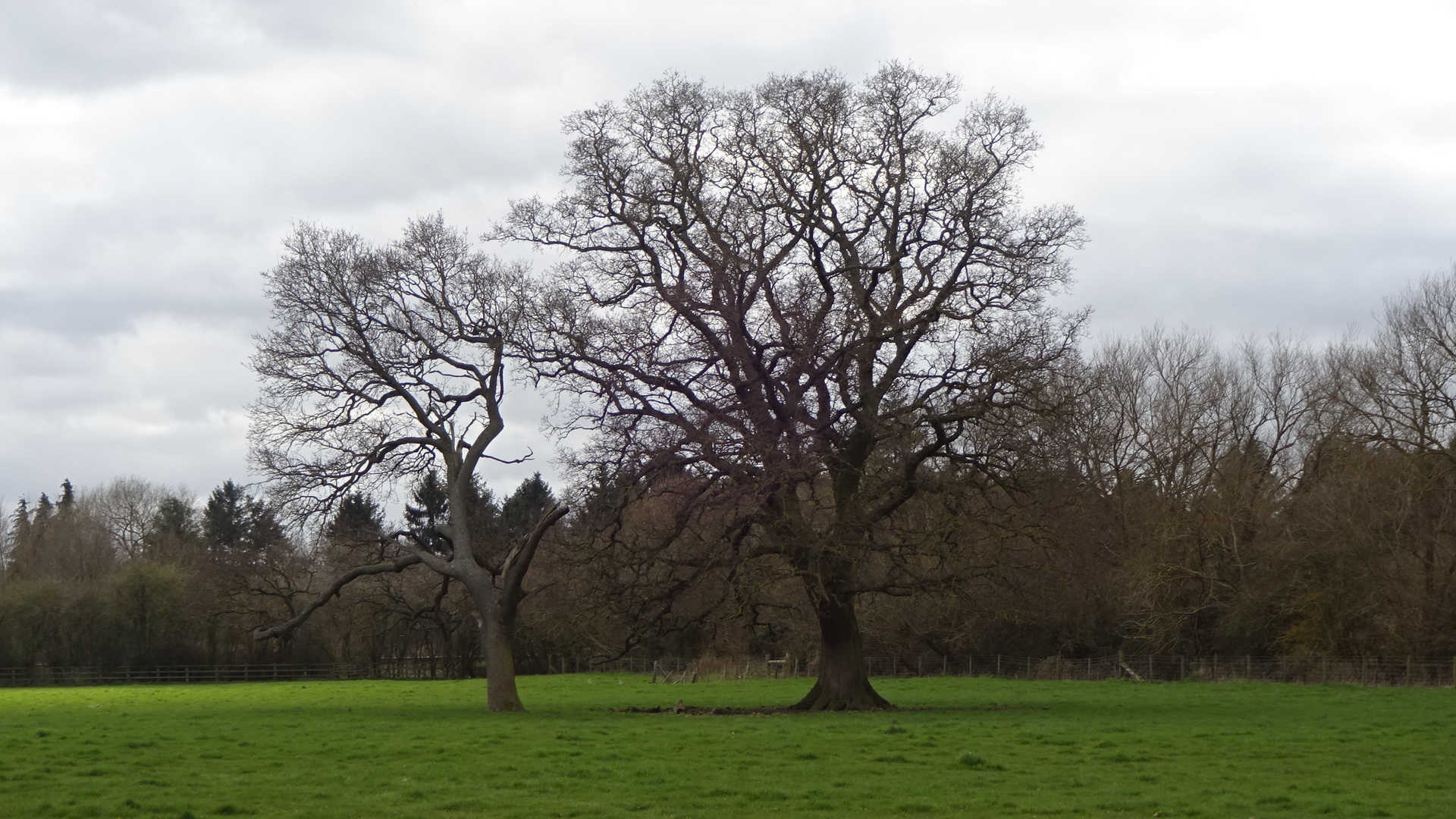
Valley Park S twin-stem oak
Valley Park S oak
Valley Park S oak
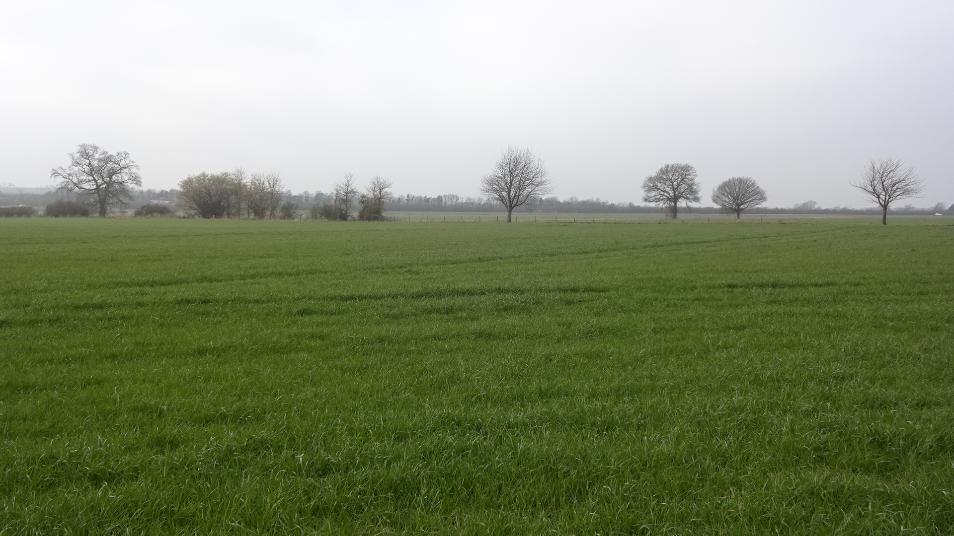
Valley Park S oaks
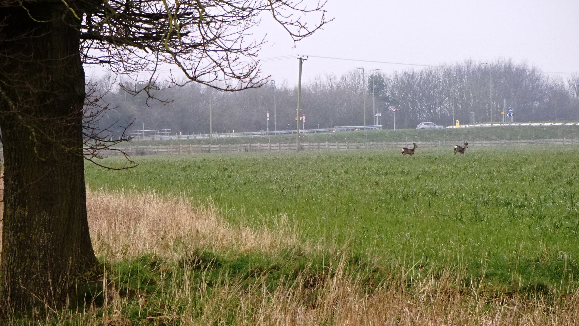
Valley Park S – roe deer

Valley Park S – roe deer